File:Stockholmsringen 1946.jpg
Jump to navigation
Jump to search
Size of this preview: 512 × 599 pixels. Other resolutions: 205 × 240 pixels | 410 × 480 pixels | 656 × 768 pixels | 1,143 × 1,337 pixels.
Original file (1,143 × 1,337 pixels, file size: 796 KB, MIME type: image/jpeg)
Captions
Captions
Add a one-line explanation of what this file represents
Summary[edit]
| Description |
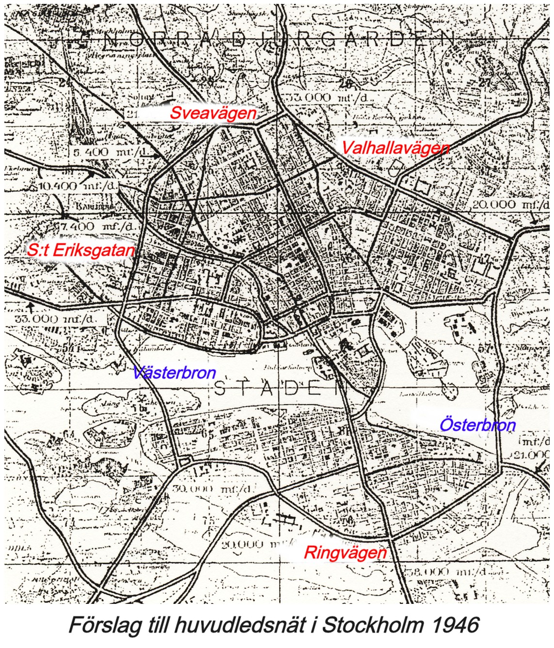
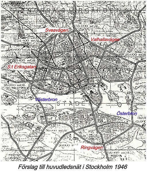
English: Source: 1946 Stockholm map showing existing and (proposed by the city's department of planning) future thoroughfares
Svenska: Ringen runt Stockholm 1946 |
| Date | |
| Source | Stadsplanekontorets tjänsteutlåtande ang. ny stadsplan för Nedre Norrmalm 1946, bearbetat av--Holger.Ellgaard (talk) 14:16, 30 April 2009 (UTC) |
| Author | Holger.Ellgaard |
Licensing[edit]
I, the copyright holder of this work, hereby publish it under the following license:
This file is licensed under the Creative Commons Attribution-Share Alike 3.0 Unported license.
- You are free:
- to share – to copy, distribute and transmit the work
- to remix – to adapt the work
- Under the following conditions:
- attribution – You must give appropriate credit, provide a link to the license, and indicate if changes were made. You may do so in any reasonable manner, but not in any way that suggests the licensor endorses you or your use.
- share alike – If you remix, transform, or build upon the material, you must distribute your contributions under the same or compatible license as the original.
File history
Click on a date/time to view the file as it appeared at that time.
| Date/Time | Thumbnail | Dimensions | User | Comment | |
|---|---|---|---|---|---|
| current | 16:11, 10 June 2008 | | 1,143 × 1,337 (796 KB) | Holger.Ellgaard (talk | contribs) | {{Information |Description={{en|1=Highway ring Stockholm 1946}} {{sv|1=Ringen runt Stockholm 1946}} |Source=Uppladdarens egna verk (uploader's own work) |Author=Holger.Ellgaard |Date=2008 |Permission= |other_versions= }} {{ImageU |
You cannot overwrite this file.
File usage on Commons
There are no pages that use this file.
File usage on other wikis
The following other wikis use this file:
- Usage on sv.wikipedia.org