File:Streckenkarte Appenzellerbahnen.png
Jump to navigation
Jump to search
Size of this preview: 592 × 599 pixels. Other resolutions: 237 × 240 pixels | 474 × 480 pixels.
Original file (800 × 810 pixels, file size: 896 KB, MIME type: image/png)
Captions
Captions
Add a one-line explanation of what this file represents
Summary
[edit]| Description |
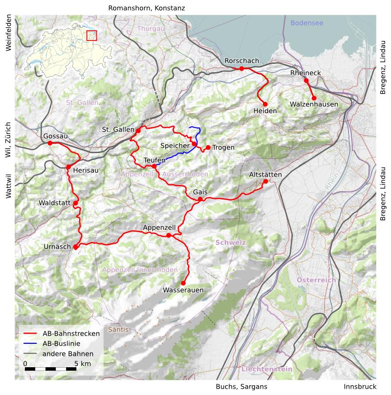
English: Rail map Appenzeller Bahnen
Deutsch: Streckenkarte der Appenzeller Bahnen |
|||
| Date | ||||
| Source |
Own work, using
|
|||
| Creator | ||||
| Permission (Reusing this file) |
This file is licensed under the Creative Commons Attribution-Share Alike 3.0 Unported license.
|
|||
| Georeferencing | If inappropriate please set warp_status = skip to hide. | |||
| Other versions |
|


File history
Click on a date/time to view the file as it appeared at that time.
| Date/Time | Thumbnail | Dimensions | User | Comment | |
|---|---|---|---|---|---|
| current | 11:34, 14 March 2011 | | 800 × 810 (896 KB) | Ueliw0 (talk | contribs) | Legende angepasst |
| 11:02, 14 March 2011 |  | 790 × 800 (878 KB) | Ueliw0 (talk | contribs) | Hillshading | |
| 00:24, 14 March 2011 |  | 800 × 810 (913 KB) | Ueliw0 (talk | contribs) | resolution | |
| 22:48, 13 March 2011 |  | 2,000 × 2,025 (3.68 MB) | Ueliw0 (talk | contribs) | resolution | |
| 22:36, 13 March 2011 |  | 4,000 × 4,049 (9.92 MB) | Ueliw0 (talk | contribs) | {{Information |Description ={{en|1=Rail map Appenzeller Bahnen}} {{de|1=Streckenkarte der Appenzeller Bahnen}} |Source =own work, using * OpenStreetMap da |
You cannot overwrite this file.
File usage on Commons
The following page uses this file:
File usage on other wikis
The following other wikis use this file:
- Usage on de.wikipedia.org
- Usage on de.wikivoyage.org
- Usage on en.wikipedia.org
- Usage on fa.wikipedia.org
- Usage on fi.wikipedia.org
- Usage on it.wikipedia.org
- Usage on ko.wikipedia.org
- Usage on pt.wikipedia.org