File:Strzelece Opolskie (gmina) location map.png
Original file (1,772 × 1,331 pixels, file size: 450 KB, MIME type: image/png)
Captions
Captions
Summary
[edit]_location_map.png&action=edit§ion=1)
| Description |
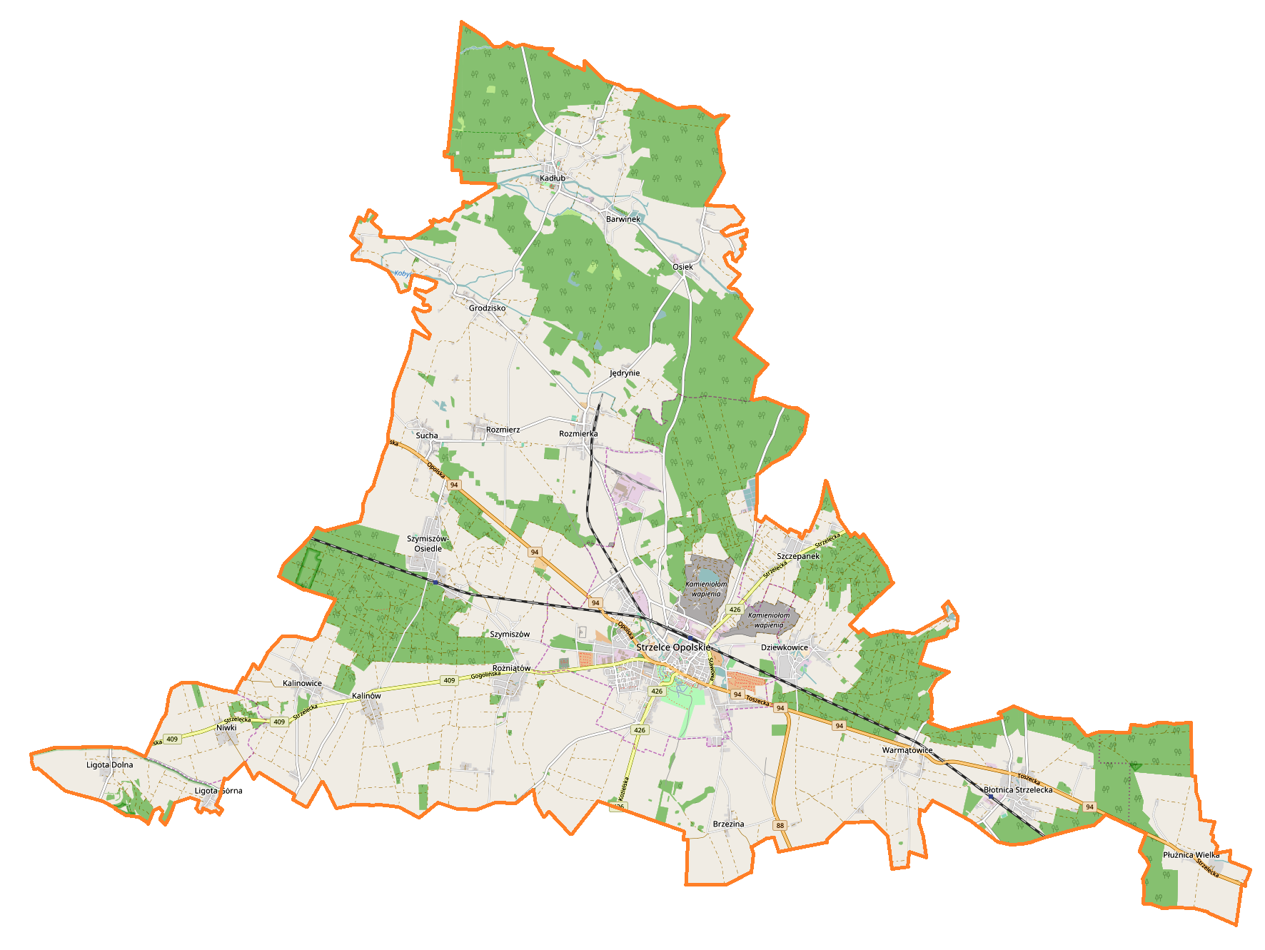
English: Location map |
| Date | |
| Source | Own work |
| Author | Smat |
| Description |
Polski: Mapa gminy Strzelce Opolskie, Polska
English: Map of Strzelce Opolskie (gmina), Poland |
|||||||||
| Date | ||||||||||
| Source | You may find a page on the OpenStreetMap wiki page for Strzelce Opolskie (gmina) | |||||||||
| Creator |
OpenStreetMap contributors OpenStreetMap contributors |
|||||||||
| Permission (Reusing this file) |
OpenStreetMap data is available under the Open Database License (details). Map tiles are licensed under the Creative Commons Attribution-ShareAlike 2.0 license (CC-BY-SA 2.0).
This file is licensed under the Creative Commons Attribution-Share Alike 2.0 Generic license.
|
|||||||||
| Geotemporal data | ||||||||||
| Bounding box |
|
|||||||||
| Georeferencing | If inappropriate please set warp_status = skip to hide. | |||||||||
Licensing
[edit]_location_map.png&action=edit§ion=2)
| This work contains information from OpenStreetMap, which is made available under the Open Database License (ODbL).
The ODbL does not require any particular license for maps produced from ODbL data. Prior to 1 August 2020, map tiles produced by the OpenStreetMap Foundation were licensed under the CC-BY-SA-2.0 license. Maps produced by other people may be subject to other licences. |
File history
Click on a date/time to view the file as it appeared at that time.
| Date/Time | Thumbnail | Dimensions | User | Comment | |
|---|---|---|---|---|---|
| current | 09:40, 6 March 2017 | | 1,772 × 1,331 (450 KB) | Smat (talk | contribs) | User created page with UploadWizard |
You cannot overwrite this file.
File usage on Commons
There are no pages that use this file.
File usage on other wikis
The following other wikis use this file:
- Usage on fi.wikipedia.org
- Usage on pl.wikipedia.org
- Strzelce Opolskie
- Strzelce Opolskie (gmina)
- Sucha (województwo opolskie)
- Błotnica Strzelecka
- Dziewkowice
- Jędrynie
- Płużnica Wielka
- Rozmierka
- Rozmierz
- Rożniątów
- Szymiszów
- Warmątowice
- Kadłub (województwo opolskie)
- Kalinowice (województwo opolskie)
- Kalinów (województwo opolskie)
- Osiek (województwo opolskie)
- Szczepanek (województwo opolskie)
- Brzezina (powiat strzelecki)
- Grodzisko (powiat strzelecki)
- Ligota Dolna (powiat strzelecki)
- Ligota Górna (powiat strzelecki)
- Niwki (powiat strzelecki)
- Strzelce Opolskie (stacja kolejowa)
- Synagoga w Strzelcach Opolskich
- Banatki Duże
- Kadłubski Piec
- Kasztal
- Adamowice (Strzelce Opolskie)
- Farska Kolonia
- Mokre Łany
- Nowa Wieś (Strzelce Opolskie)
- Suche Łany
- Szymiszów-Osiedle
- Banatki Małe
- Dołki (Grodzisko)
- Doryszów
- Breguła
- Ratusz w Strzelcach Opolskich
- Parafia św. Wawrzyńca w Strzelcach Opolskich
- Rezerwat przyrody Ligota Dolna
- Kościół Nawiedzenia Najświętszej Marii Panny i św. Jadwigi w Szczepanku
- Parafia Podwyższenia Krzyża Świętego w Strzelcach Opolskich
- Cmentarz żydowski w Strzelcach Opolskich
- Szymiszów (stacja kolejowa)
- Błotnica Strzelecka (stacja kolejowa)
- Groszów
- Rozmierka (stacja kolejowa)
- Kadłub (stacja kolejowa)
- Rezerwat przyrody Płużnica
View more global usage of this file.
_location_map.png)
_location_map.png&oldid=607601046)