File:Subcarpathia Ukraine districts.svg
Jump to navigation
Jump to search

Size of this PNG preview of this SVG file: 695 × 525 pixels. Other resolutions: 318 × 240 pixels | 636 × 480 pixels | 1,017 × 768 pixels | 1,280 × 967 pixels | 2,560 × 1,934 pixels.
Original file (SVG file, nominally 695 × 525 pixels, file size: 71 KB)
Captions
Captions
Add a one-line explanation of what this file represents
Summary[edit]
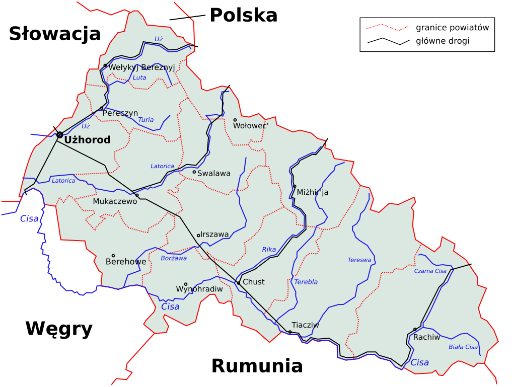
| Description | Today's ukrainian Subcarpathian region (Zakarpatska oblast') with districts' borders, rivers and main roads. Based on different printed maps. |
| Date | 19 March 2006 (original upload date) |
| Source | No machine-readable source provided. Own work assumed (based on copyright claims). |
| Author | No machine-readable author provided. PM assumed (based on copyright claims). |
Licensing[edit]
| I, the copyright holder of this work, release this work into the public domain. This applies worldwide. In some countries this may not be legally possible; if so: I grant anyone the right to use this work for any purpose, without any conditions, unless such conditions are required by law. |
Other versions[edit]
-
 English version
 -
 Hungarian version


File history
Click on a date/time to view the file as it appeared at that time.
| Date/Time | Thumbnail | Dimensions | User | Comment | |
|---|---|---|---|---|---|
| current | 09:24, 2 November 2009 | | 695 × 525 (71 KB) | Malarz pl (talk | contribs) | display fix |
| 07:35, 20 March 2006 |  | 695 × 525 (70 KB) | Malarz pl (talk | contribs) | image into paper size | |
| 23:29, 19 March 2006 |  | 744 × 524 (71 KB) | PM (talk | contribs) | ||
| 23:15, 19 March 2006 |  | 744 × 524 (71 KB) | PM (talk | contribs) | ||
| 23:11, 19 March 2006 |  | 744 × 1,052 (69 KB) | PM (talk | contribs) | Today's ukrainian Subcarpathian region (Zakarpatska oblast') with districts' borders, rivers and main roads. Based on different printed maps. Category:Maps of Ukraine |
You cannot overwrite this file.
File usage on Commons
The following 3 pages use this file:
File usage on other wikis
The following other wikis use this file:
- Usage on pl.wikipedia.org
- Usage on pl.wikivoyage.org