File:Sudan Poludniowy-stany.PNG
Jump to navigation
Jump to search
Size of this preview: 800 × 550 pixels. Other resolutions: 320 × 220 pixels | 640 × 440 pixels | 1,024 × 704 pixels | 1,280 × 880 pixels | 2,242 × 1,542 pixels.
Original file (2,242 × 1,542 pixels, file size: 230 KB, MIME type: image/png)
Captions
Captions
Add a one-line explanation of what this file represents
Summary
[edit]
| Description |
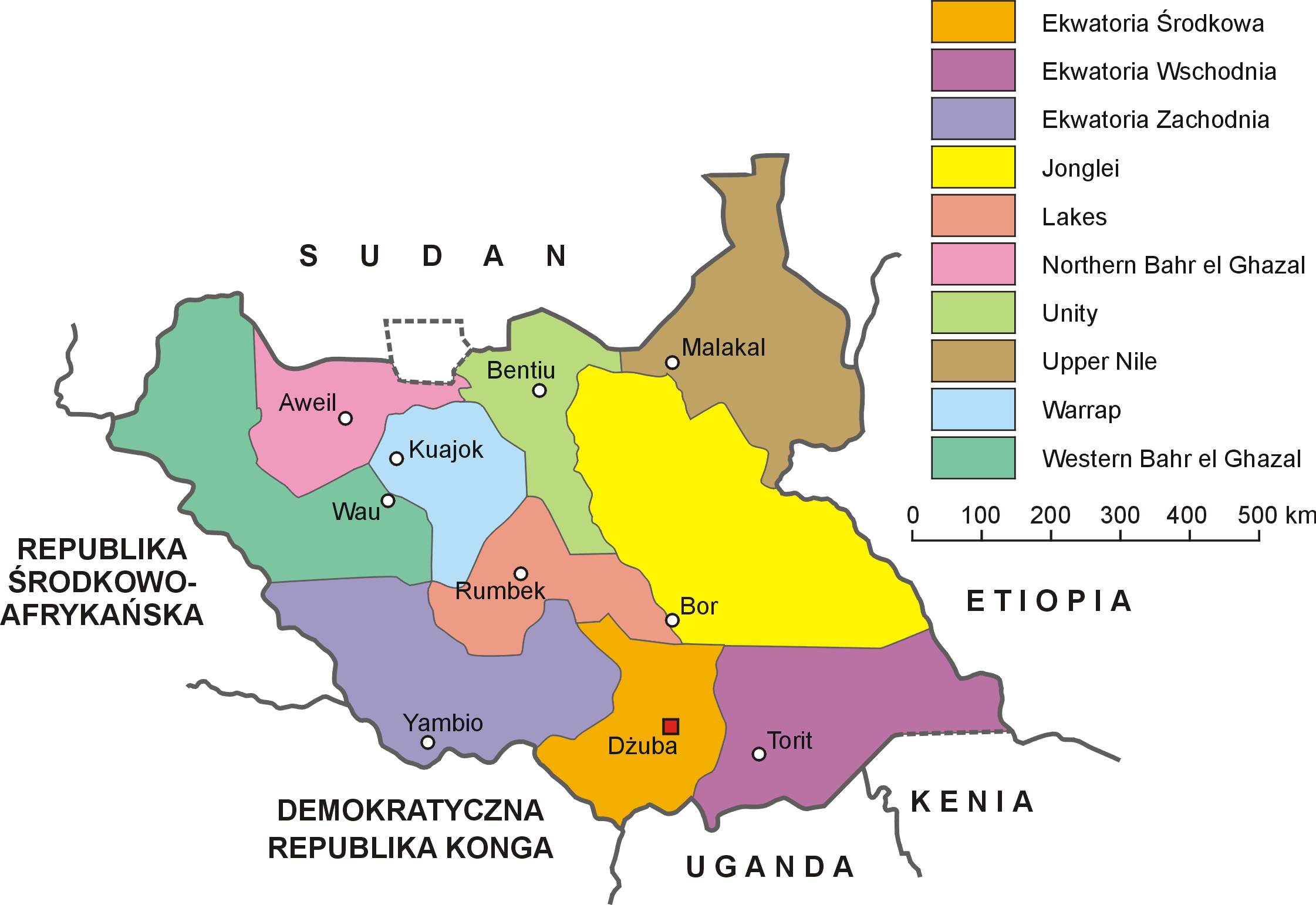
English: Administrative map of South Sudan
Polski: Mapa administracyjna Sudanu Południowego |
| Date | |
| Source | Own work |
| Author | Aotearoa |
| Other versions | File:South Sudan-administrative map PL.png, File:South Sudan-administrative map RU.png, File:South Sudan-administrative map.png, File:Zhs South Sudan-administrative map.png, File:Zht South Sudan-administrative map.png |
Licensing
[edit]
I, the copyright holder of this work, hereby publish it under the following license:
This file is licensed under the Creative Commons Attribution 3.0 Unported license.
- You are free:
- to share – to copy, distribute and transmit the work
- to remix – to adapt the work
- Under the following conditions:
- attribution – You must give appropriate credit, provide a link to the license, and indicate if changes were made. You may do so in any reasonable manner, but not in any way that suggests the licensor endorses you or your use.
File history
Click on a date/time to view the file as it appeared at that time.
| Date/Time | Thumbnail | Dimensions | User | Comment | |
|---|---|---|---|---|---|
| current | 20:43, 11 July 2011 | | 2,242 × 1,542 (230 KB) | Aotearoa (talk | contribs) | {{Information |Description ={{en|1=Administrative map of South Sudan}} {{pl|1=Mapa administracyjna Sudanu Południowego}} |Source ={{own}} |Author =Aotearoa |Date =2011-07-11 |Permission = |other_versions |
You cannot overwrite this file.
File usage on Commons
There are no pages that use this file.
File usage on other wikis
The following other wikis use this file:
- Usage on pl.wikipedia.org