File:Sulawesi blank map inc islands.svg
Jump to navigation
Jump to search

Size of this PNG preview of this SVG file: 438 × 599 pixels. Other resolutions: 175 × 240 pixels | 351 × 480 pixels | 561 × 768 pixels | 748 × 1,024 pixels | 1,497 × 2,048 pixels | 731 × 1,000 pixels.
Original file (SVG file, nominally 731 × 1,000 pixels, file size: 58 KB)
Captions
Captions
Add a one-line explanation of what this file represents
Summary
[edit]
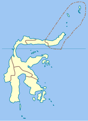
Blank map of Sulawesi, including surrounding islands, extending to Sangihe and Talaud islands to the North East.
Licensing
[edit]
I, the copyright holder of this work, hereby publish it under the following license:

|
Permission is granted to copy, distribute and/or modify this document under the terms of the GNU Free Documentation License, Version 1.2 or any later version published by the Free Software Foundation; with no Invariant Sections, no Front-Cover Texts, and no Back-Cover Texts. A copy of the license is included in the section entitled GNU Free Documentation License. |
| This file is licensed under the Creative Commons Attribution-Share Alike 3.0 Unported license. | ||
| ||
| This licensing tag was added to this file as part of the GFDL licensing update. |
File history
Click on a date/time to view the file as it appeared at that time.
| Date/Time | Thumbnail | Dimensions | User | Comment | |
|---|---|---|---|---|---|
| current | 16:38, 1 February 2007 | | 731 × 1,000 (58 KB) | Bwmodular (talk | contribs) | 1000 px high |
| 13:40, 29 January 2007 |  | 458 × 626 (57 KB) | Bwmodular (talk | contribs) | Larger version than previous | |
| 13:36, 29 January 2007 |  | 254 × 348 (58 KB) | Bwmodular (talk | contribs) | Blank map of Sulawesi, including surrounding islands, extending to Sangihe and Talaud islands to the North East. |
You cannot overwrite this file.
File usage on Commons
The following page uses this file:
File usage on other wikis
The following other wikis use this file:
- Usage on ast.wikipedia.org
- Usage on en.wikipedia.org