File:Sunset on Interstate 40 Near Kingman, Arizona (15605319066).jpg
Original file (4,000 × 3,000 pixels, file size: 2.05 MB, MIME type: image/jpeg)
Captions
Captions
Summary
[edit].jpg&action=edit§ion=1)
| Description |
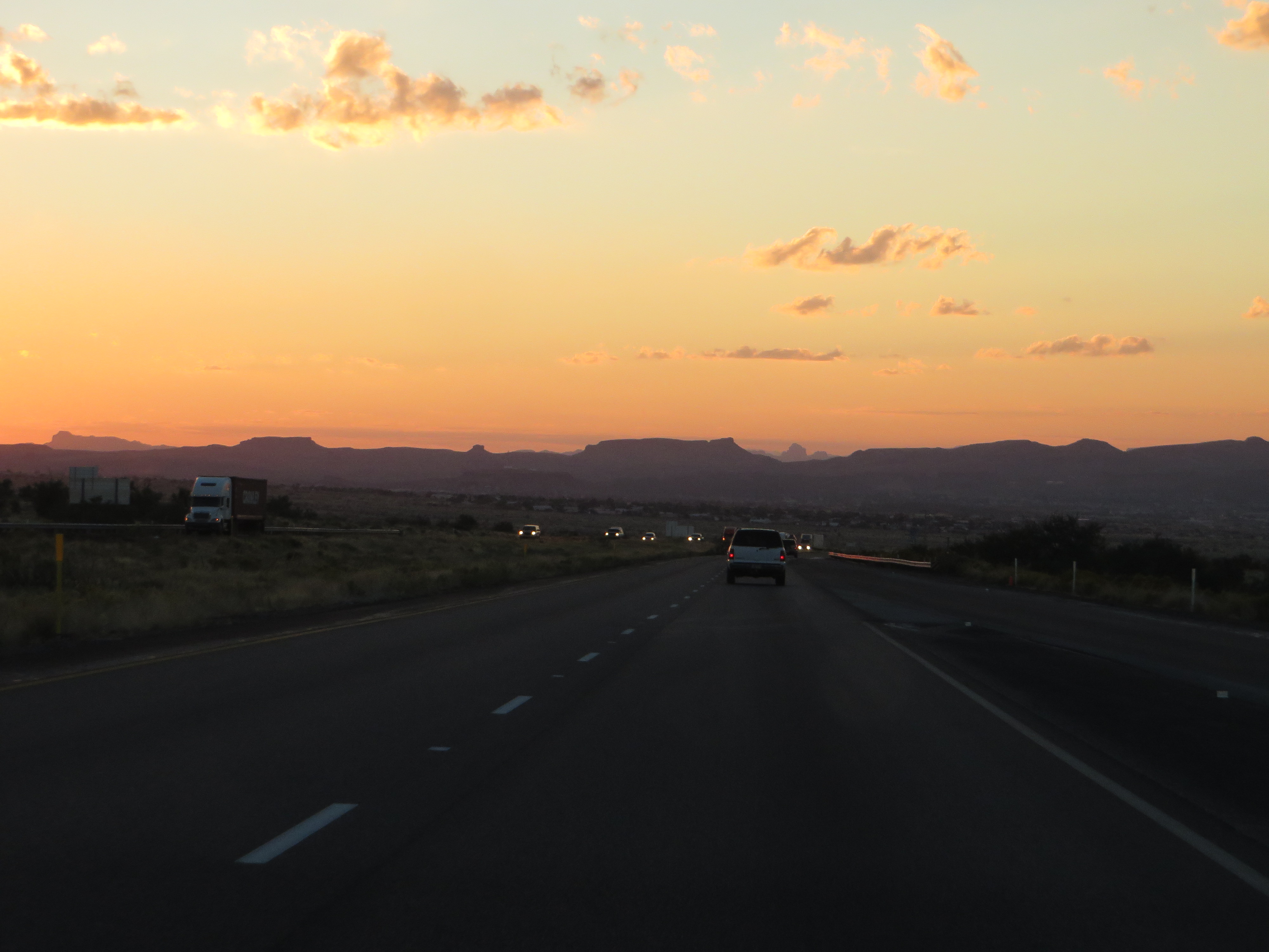
Interstate 40 (I-40) is an east–west Interstate Highway that has a 359.6-mile (578.72 km) section in the U.S. state of Arizona connecting sections in California to New Mexico. It enters Arizona from the west at a crossing of the Colorado River southwest of Kingman. It travels eastward across the northern portion of the state connecting the cities of Kingman, Ash Fork, Williams, Flagstaff, Winslow, and Holbrook. I-40 continues into New Mexico, heading to Albuquerque. The highway has major junctions with U.S. Route 93 (US 93) in Kingman, the main highway connecting Phoenix and Las Vegas, Nevada, and I-17 in Flagstaff, the Interstate linking Phoenix and Flagstaff. For the majority of its routing through Arizona, I-40 follows the historic alignment of U.S. Route 66. The lone exception is a stretch between Kingman and Ash Fork where US 66 took a more northerly, less direct route that is now State Route 66. Construction of I-40 was ongoing in the 1960s and 1970s and reached completion in 1984. With the completion of I-40 in 1984, the entire routing of US 66 had been bypassed by Interstate Highways which led to its decertification a year later in 1985. I-40 enters Arizona from California at a bridge that crosses the Colorado River at Topock in Mohave County. It heads east from Topock and begins to curve towards the north at Franconia and completes the curve to the north at Yucca. The interstate continues to head north until it reaches Kingman. In this city, I-40 has a junction with US 93 at exit 48. US 93 heads towards the northwest from this junction to Hoover Dam and Las Vegas. US 93 south begins to run concurrently with I-40 as they both head east through Kingman. The two separate at exit 71 as US 93 heads towards the south towards Phoenix while I-40 heads east towards Flagstaff. I-40 continues towards the east, passing through the town of Seligman and then at Ash Fork, where it meets State Route 89, the main highway that heads south to Prescott. Next, it passes through Williams at exit 165 with SR 64, and heads north towards Grand Canyon National Park. I-40 continues to the east to Flagstaff, where it has a junction with I-17 at exit 195. I-17 heads south from the interchange with I-40 to Phoenix. en.wikipedia.org/wiki/Interstate_40_in_Arizona <a href="http://en.wikipedia.org/wiki/Wikipedia:Text_of_Creative_Commons_Attribution-ShareAlike_3.0_Unported_License" rel="nofollow">en.wikipedia.org/wiki/Wikipedia:Text_of_Creative_Commons_...</a> |
| Date | |
| Source | Sunset on Interstate 40 Near Kingman, Arizona |
| Author | Ken Lund from Reno, Nevada, USA |
| Camera location | | View this and other nearby images on: OpenStreetMap |
|---|
.jpg¶ms=035.198377_N_-113.909831_E_globe:Earth_type:camera_source:Flickr_&language=en)
Licensing
[edit].jpg&action=edit§ion=2)
- You are free:
- to share – to copy, distribute and transmit the work
- to remix – to adapt the work
- Under the following conditions:
- attribution – You must give appropriate credit, provide a link to the license, and indicate if changes were made. You may do so in any reasonable manner, but not in any way that suggests the licensor endorses you or your use.
- share alike – If you remix, transform, or build upon the material, you must distribute your contributions under the same or compatible license as the original.
| This image was originally posted to Flickr by Ken Lund at https://flickr.com/photos/75683070@N00/15605319066 (archive). It was reviewed on 23 June 2018 by FlickreviewR 2 and was confirmed to be licensed under the terms of the cc-by-sa-2.0. |
File history
Click on a date/time to view the file as it appeared at that time.
| Date/Time | Thumbnail | Dimensions | User | Comment | |
|---|---|---|---|---|---|
| current | 23:44, 23 June 2018 | | 4,000 × 3,000 (2.05 MB) | Hiàn (alt) (talk | contribs) | Transferred from Flickr via #flickr2commons |
You cannot overwrite this file.
File usage on Commons
There are no pages that use this file.
.jpg&oldid=700312294)