File:Sur2.gif
跳至導覽
跳至搜尋

預覽大小:800 × 494 像素。 其他解析度:320 × 197 像素 | 640 × 395 像素 | 1,024 × 632 像素 | 1,280 × 790 像素 | 2,560 × 1,580 像素 | 3,855 × 2,379 像素。
原始檔案 (3,855 × 2,379 像素,檔案大小:707 KB,MIME 類型:image/gif、0.1秒)
說明
說明
添加單行說明來描述出檔案所代表的內容
| 描述 |
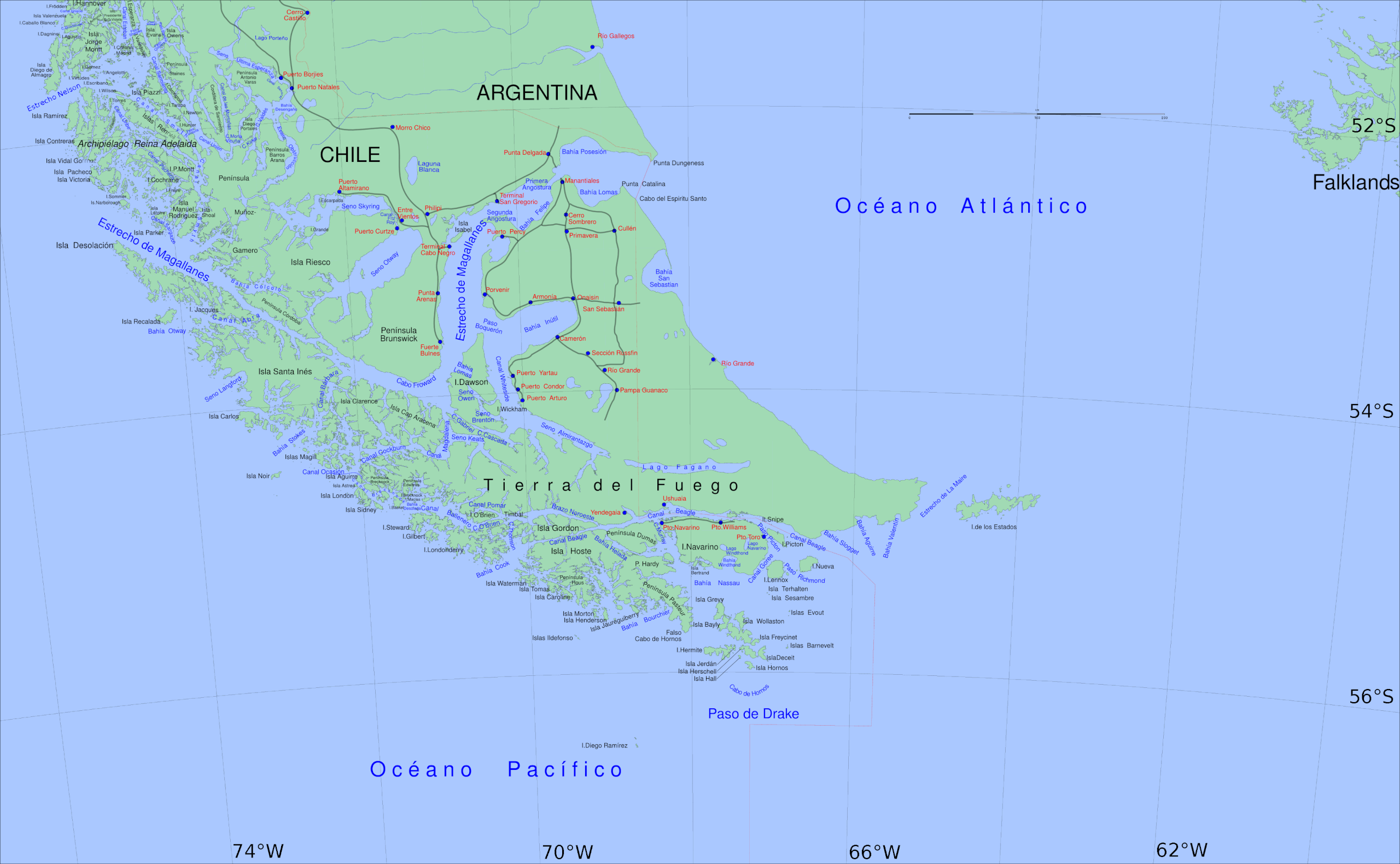
English: Big Map of southern Chile: From Straits of Magellan to Cape Horn |
||||||||||
| 日期 | |||||||||||
| 來源 | 自己的作品 | ||||||||||
| 作者 | Createaccount | ||||||||||
| 授權許可 (重用此檔案) |
|
||||||||||
| 其他版本 | Derivative works of this file: Sur2-KDS444.gif |

檔案歷史
點選日期/時間以檢視該時間的檔案版本。
| 日期/時間 | 縮圖 | 尺寸 | 用戶 | 備註 | |
|---|---|---|---|---|---|
| 目前 | 2016年8月6日 (六) 18:59 | | 3,855 × 2,379(707 KB) | Keysanger(對話 | 貢獻) | spelling Vidal Gormaz, Rennell |
| 2013年4月1日 (一) 22:31 |  | 3,855 × 2,379(707 KB) | Keysanger(對話 | 貢獻) | deleted road from P.Williams to P.Toro | |
| 2013年4月1日 (一) 21:13 |  | 3,855 × 2,379(707 KB) | Keysanger(對話 | 貢獻) | internationalized | |
| 2013年3月5日 (二) 13:40 |  | 3,855 × 2,379(709 KB) | Keysanger(對話 | 貢獻) | coordinates added, "Estrecho Nelson" added | |
| 2013年1月14日 (一) 19:03 |  | 3,855 × 2,379(703 KB) | Keysanger(對話 | 貢獻) | transparent margin erased | |
| 2011年5月7日 (六) 20:22 |  | 3,894 × 2,441(718 KB) | Keysanger(對話 | 貢獻) | Reverted to version as of 00:40, 5 September 2008 | |
| 2011年4月25日 (一) 06:17 |  | 3,414 × 2,359(1.95 MB) | KDS444(對話 | 貢獻) | revised w tierra highlighted | |
| 2011年4月25日 (一) 05:38 |  | 3,414 × 2,359(1.43 MB) | KDS444(對話 | 貢獻) | Uploaded wrong file in previous upload. Sorries. | |
| 2011年4月25日 (一) 05:35 |  | 3,894 × 2,441(718 KB) | KDS444(對話 | 貢獻) | Made clearer the international distinctions between Chile and Argentina, and darkened the oceans in order to make the Straight stand out more. | |
| 2011年4月25日 (一) 03:06 |  | 3,414 × 2,359(1.41 MB) | KDS444(對話 | 貢獻) | Original author gave permission for revisions/ remixes under image's original Creative Commons Attribution-Share Alike 3.0 Unported license. Have revised image slightly making the actual Straight of Magellan identifiable on the map. Also cropped to rem |
無法覆蓋此檔案。
檔案用途
下列2個頁面有用到此檔案:
全域檔案使用狀況
以下其他 wiki 使用了這個檔案:
- eu.wikipedia.org 的使用狀況
- fr.wikipedia.org 的使用狀況
- ka.wikipedia.org 的使用狀況