File:Sutherland Brit Isles Sect 2.svg
跳转到导航
跳转到搜索

此SVG文件的PNG预览的大小:652 × 599像素。 其他分辨率:261 × 240像素 | 522 × 480像素 | 836 × 768像素 | 1,114 × 1,024像素 | 2,228 × 2,048像素 | 915 × 841像素。
原始文件 (SVG文件,尺寸为915 × 841像素,文件大小:1,004 KB)
说明
说明
添加一行文字以描述该文件所表现的内容
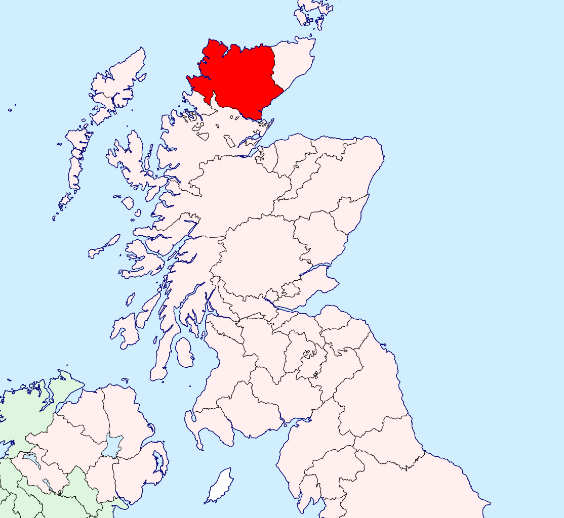
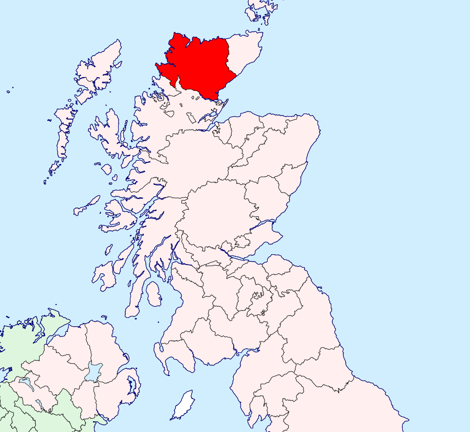
| 描述 | Sutherland location map | ||
| 日期 | |||
| 来源 | British Isles in counties.svg | ||
| 作者 | User:Visitor from Wikishire | ||
| 授权 (二次使用本文件) |
|
文件历史
点击某个日期/时间查看对应时刻的文件。
| 日期/时间 | 缩略图 | 大小 | 用户 | 备注 | |
|---|---|---|---|---|---|
| 当前 | 2019年9月14日 (六) 08:46 | | 915 × 841(1,004 KB) | Hogweard(留言 | 贡献) | Colours |
| 2015年1月13日 (二) 20:43 |  | 915 × 841(909 KB) | Visitor from Wikishire(留言 | 贡献) | {{Information |Description=Sutherland location map |Source=British Isles in counties.svg |Date=2014-01-11 |Author=User:Visitor from Wikishire |Permission={{PD-self}} |other_versions= }} [[Category:Maps of his... |
您不可以覆盖此文件。
文件用途
没有页面使用本文件。
全域文件用途
以下其他wiki使用此文件:
- gd.wikipedia.org上的用途
- nl.wikipedia.org上的用途
- zh.wikipedia.org上的用途