File:Suwalki map.png
Jump to navigation
Jump to search
No higher resolution available.
Suwalki_map.png (580 × 425 pixels, file size: 59 KB, MIME type: image/png)
Captions
Captions
Add a one-line explanation of what this file represents
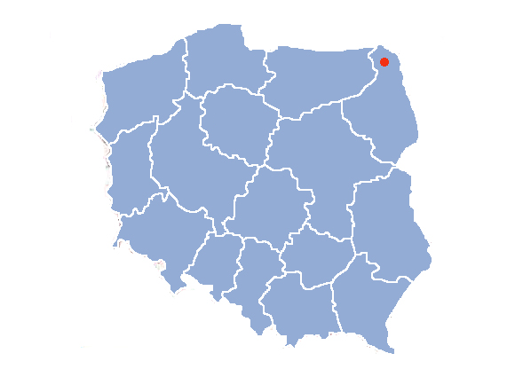
Suwałki on a contour map of Poland
by Halibutt
| Contour maps of administrative division of Poland • AD 1939 • AD 1957 • AD 1975 • AD 1999 • dummy • blank • flag |

|
Since the legal status of the above comment has been questioned, I hereby grant anyone the right to treat it as either a standard copyright notice, invariant section, legal statement, legal advice, friendly suggestion or a mere comment, depending on his or hers own choice. |
|

File history
Click on a date/time to view the file as it appeared at that time.
| Date/Time | Thumbnail | Dimensions | User | Comment | |
|---|---|---|---|---|---|
| current | 17:09, 27 March 2005 | | 580 × 425 (59 KB) | Halibutt (talk | contribs) | Suwałki on a contour map of Poland<br>by Halibutt<br>{{User:Halibutt/administrative}}<br>{{User:Halibutt/GFDL}} |
You cannot overwrite this file.
File usage on Commons
The following page uses this file:
File usage on other wikis
The following other wikis use this file: