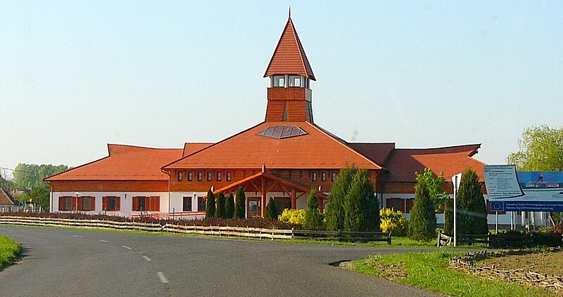
File:Szatmár-Beregi Natúrpark Látogató Központ, Kisar, 4921 Hungary - panoramio (10).jpg
From Wikimedia Commons, the free media repository
Jump to navigation
Jump to search

Size of this preview: 800 × 423 pixels. Other resolutions: 320 × 169 pixels | 640 × 339 pixels | 1,024 × 542 pixels | 1,572 × 832 pixels.
Original file (1,572 × 832 pixels, file size: 264 KB, MIME type: image/jpeg)
File information
Structured data
Captions
Captions
Add a one-line explanation of what this file represents
Summary[edit]
| DescriptionSzatmár-Beregi Natúrpark Látogató Központ, Kisar, 4921 Hungary - panoramio (10).jpg |
Magyar: Kisar, 4921 Hungary. - http://www.szatmarbereg.hu/index.php/hu/ ...Kisar mellett kanyarog a szeszélyes Tisza, mely áradásaival sokszor veszélybe sodorta a települést. Itt vezet át a Szatmárt és Bereget összekötő híd, melyről nyáron több százan figyelik a tiszavirágzást...műemlék jellegű református temploma 1794-ben épült késő barokk stílusban, homlokzati toronnyal. Főbejárata a déli oldalon van, tornya négyzet alakú, gúlasisakos. 1877-ben átépítették eklektikus stílusban… Útközben |
||
| Date | 25 December 2012 (original upload date) | ||
| Source | https://web.archive.org/web/20161024211312/http://www.panoramio.com/photo/83844857 | ||
| Author | Szemes Elek | ||
| Permission (Reusing this file) |
This file is licensed under the Creative Commons Attribution-Share Alike 3.0 Unported license. Attribution: Szemes Elek
|
| Camera location | 48° 03′ 09.91″ N, 22° 30′ 56.85″ E | View this and other nearby images on: OpenStreetMap |
|---|
File history
Click on a date/time to view the file as it appeared at that time.
| Date/Time | Thumbnail | Dimensions | User | Comment | |
|---|---|---|---|---|---|
| current | 07:52, 24 April 2017 |  | 1,572 × 832 (264 KB) | ديفيد عادل وهبة خليل 2 (talk | contribs) | Removed border by cropping 3 % horizontally and 10 % vertically using CropTool with precise mode. |
| 23:23, 8 February 2017 |  | 1,627 × 926 (305 KB) | Panoramio upload bot (talk | contribs) | == {{int:filedesc}} == {{Information |description=Kisar, 4921 Hungary |date={{Original upload date|2012-12-25}} |source=http://www.panoramio.com/photo/83844857 |author=[http://www.panoramio.com/user/284747?with_photo_id=83844857 Szemes Elek] |permissio... |
You cannot overwrite this file.
File usage on Commons
The following page uses this file:
- File:Kisar, 4921 Hungary - panoramio (10).jpg (file redirect)
File usage on other wikis
The following other wikis use this file:
- Usage on de.wikipedia.org
- Usage on eo.wikipedia.org
Metadata
This file contains additional information such as Exif metadata which may have been added by the digital camera, scanner, or software program used to create or digitize it. If the file has been modified from its original state, some details such as the timestamp may not fully reflect those of the original file. The timestamp is only as accurate as the clock in the camera, and it may be completely wrong.
| Latitude | 48° 3′ 9.91″ N |
|---|---|
| Longitude | 22° 30′ 56.85″ E |
| Software used | Picasa |
| Exif version | 2.2 |
| Unique image ID | 598dcf94adc168e5dc41ab883e28a153 |
| GPS tag version | 0.0.2.2 |