File:Szudziałowo (gmina) location map.png
Jump to navigation
Jump to search
Size of this preview: 498 × 600 pixels. Other resolutions: 199 × 240 pixels | 398 × 480 pixels | 845 × 1,018 pixels.
Original file (845 × 1,018 pixels, file size: 295 KB, MIME type: image/png)
Captions
Captions
Add a one-line explanation of what this file represents
| Description |
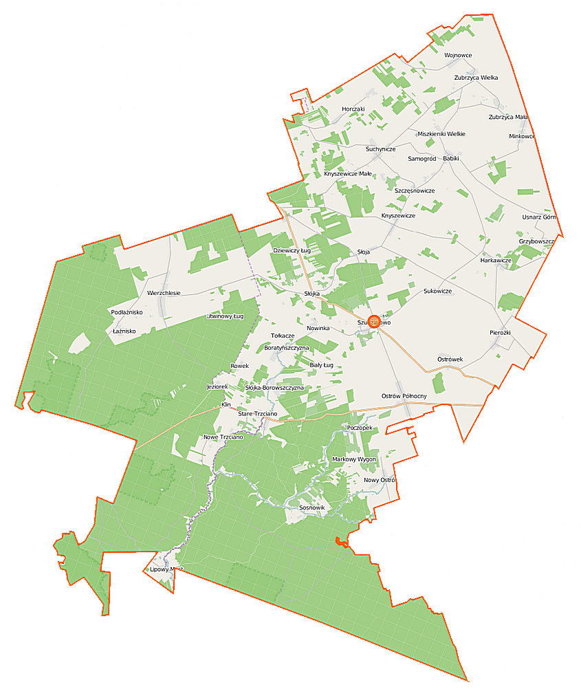
Polski: Mapa gminy Szudziałowo, Polska
English: Map of Gmina Szudziałowo, Poland |
|||||||||
| Date | ||||||||||
| Source | You may find a page on the OpenStreetMap wiki page for Szudziałowo (gmina) | |||||||||
| Creator |
OpenStreetMap contributors OpenStreetMap contributors |
|||||||||
| Permission (Reusing this file) |
OpenStreetMap data is available under the Open Database License (details). Map tiles are licensed under the Creative Commons Attribution-ShareAlike 2.0 license (CC-BY-SA 2.0).
This file is licensed under the Creative Commons Attribution-Share Alike 2.0 Generic license.
|
|||||||||
| Geotemporal data | ||||||||||
| Bounding box |
|
|||||||||
| Georeferencing | If inappropriate please set warp_status = skip to hide. | |||||||||
File history
Click on a date/time to view the file as it appeared at that time.
| Date/Time | Thumbnail | Dimensions | User | Comment | |
|---|---|---|---|---|---|
| current | 10:13, 16 September 2014 | | 845 × 1,018 (295 KB) | VanWiel (talk | contribs) | {{Information |Description= |Source= |Date= |Author= |Permission= |other_versions= }} |
| 05:04, 27 June 2014 |  | 845 × 1,018 (333 KB) | VanWiel (talk | contribs) | {{OpenStreetMap | name = Szudziałowo (gmina) | location = Szudziałowo (gmina) | description = {{pl|Mapa gminy Szudziałowo, Polska}} {{en|Map of Gmina Szudziałowo, Poland}} | top = 53.4140 | left... |
You cannot overwrite this file.
File usage on Commons
There are no pages that use this file.
File usage on other wikis
The following other wikis use this file:
- Usage on pl.wikipedia.org
- Szudziałowo
- Szudziałowo (gmina)
- Rezerwat przyrody Bahno w Borkach
- Rezerwat przyrody Góra Pieszczana
- Rezerwat przyrody Międzyrzecze
- Babiki
- Boratyńszczyzna
- Chmielowszczyzna
- Grzybowszczyzna
- Harkawicze
- Horczaki
- Jeziorek (województwo podlaskie)
- Knyszewicze
- Kozłowy Ług
- Lipowy Most
- Łaźnisko
- Minkowce
- Miszkieniki Wielkie
- Nowe Trzciano
- Nowy Ostrów (województwo podlaskie)
- Ostrów Północny
- Pierożki
- Poczopek
- Sosnowik
- Szczęsnowicze
- Słoja
- Słójka
- Słójka-Borowszczyzna
- Suchynicze
- Sukowicze
- Talkowszczyzna
- Usnarz Górny
- Wierzchlesie
- Zubrzyca Mała
- Zubrzyca Wielka
- Biały Ług (województwo podlaskie)
- Nowinka (gmina Szudziałowo)
- Ostrówek (gmina Szudziałowo)
- Wojnowce (gmina Szudziałowo)
- Rezerwat przyrody Stara Dębina
- Rezerwat przyrody Stare Biele
- Rezerwat przyrody Woronicza
- Brzozowy Hrud
- Markowy Wygon
- Stare Trzciano
- Aleksandrówka (Pierożki)
- Chmielowszczyzna (Chmielowszczyzna)
- Dziewiczy Ług
- Grodzisko (Nowe Trzciano)
- Hały-Ług
View more global usage of this file.
_location_map.png)
_location_map.png&oldid=504070327)