File:Tabula Europae IX.jpg
Jump to navigation
Jump to search
Size of this preview: 761 × 600 pixels. Other resolutions: 305 × 240 pixels | 609 × 480 pixels | 975 × 768 pixels | 1,280 × 1,009 pixels | 1,624 × 1,280 pixels.
Original file (1,624 × 1,280 pixels, file size: 2.13 MB, MIME type: image/jpeg)
Captions
Captions
Add a one-line explanation of what this file represents
Summary
[edit]| Description |
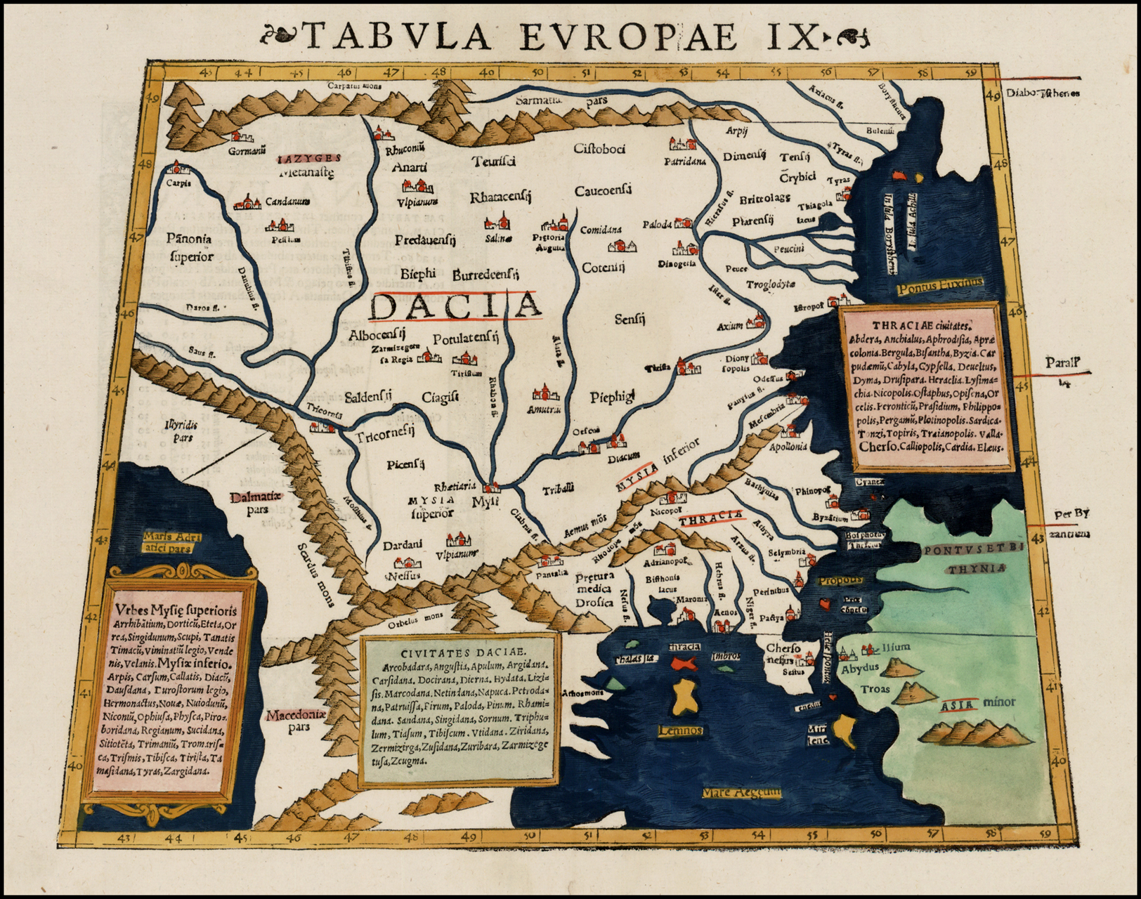
English: The Ninth European Map, depicting the eastern Balkans, from one of the editions of Sebastian Münster's Cosmographia, an expansion of Ptolemy's Geography. The map is unchanged from the 1540 plates. Latina: Tabula Europae Nona |
| Date | circa 1550 |
| Source | BL Ruderman Antique Maps |
| Author | Ptolemy |
| Other versions |
|
.jpg)
Licensing
[edit]
|
This work is in the public domain in its country of origin and other countries and areas where the copyright term is the author's life plus 70 years or fewer. This work is in the public domain in the United States because it was published (or registered with the U.S. Copyright Office) before January 1, 1929. | |
| This file has been identified as being free of known restrictions under copyright law, including all related and neighboring rights. | |
File history
Click on a date/time to view the file as it appeared at that time.
| Date/Time | Thumbnail | Dimensions | User | Comment | |
|---|---|---|---|---|---|
| current | 03:45, 19 September 2016 | | 1,624 × 1,280 (2.13 MB) | LlywelynII (talk | contribs) | User created page with UploadWizard |
You cannot overwrite this file.
File usage on Commons
The following page uses this file:
File usage on other wikis
The following other wikis use this file:
- Usage on bg.wikipedia.org