File:Tangier Zone txu-oclc-6949452-ni30-1.jpg
跳转到导航
跳转到搜索

本预览的尺寸:410 × 599像素。 其他分辨率:164 × 240像素 | 329 × 480像素 | 949 × 1,386像素。
原始文件 (949 × 1,386像素,文件大小:1.2 MB,MIME类型:image/jpeg)
说明
说明
添加一行文字以描述该文件所表现的内容

文件历史
点击某个日期/时间查看对应时刻的文件。
| 日期/时间 | 缩略图 | 大小 | 用户 | 备注 | |
|---|---|---|---|---|---|
| 当前 | 2017年11月29日 (三) 07:14 | | 949 × 1,386(1.2 MB) | ديفيد عادل وهبة خليل 2(留言 | 贡献) | Removed border by cropping 3 % horizontally and 2 % vertically using CropTool with precise mode. |
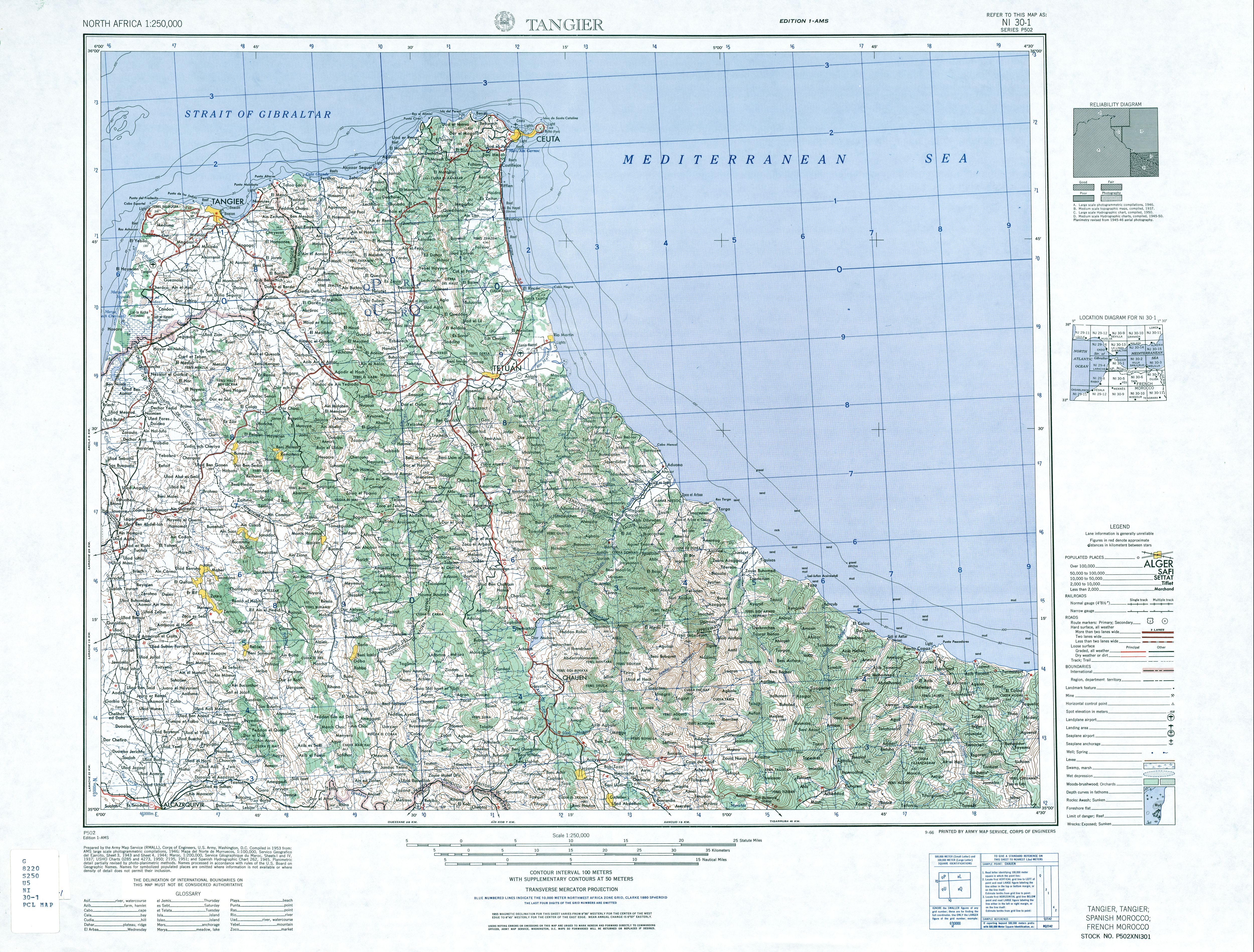
| 2010年6月6日 (日) 19:40 |  | 976 × 1,419(1.26 MB) | Ratzer(留言 | 贡献) | {{Information |Description={{en|1=map of the area of the former International Zone of Tangier, Morocco}} |Source=http://www.lib.utexas.edu/maps/ams/north_africa/txu-oclc-6949452-ni30-1.jpg |Author=Army Map Service |Date=1953 |Permission= |other_versions= |
您不可以覆盖此文件。
文件用途
没有页面使用本文件。
全域文件用途
以下其他wiki使用此文件:
- ar.wikipedia.org上的用途
- br.wikipedia.org上的用途
- de.wikipedia.org上的用途
- en.wikipedia.org上的用途
- fr.wikipedia.org上的用途
- id.wikipedia.org上的用途
- it.wikipedia.org上的用途
- ja.wikipedia.org上的用途
- nl.wikipedia.org上的用途
- pl.wikipedia.org上的用途
- pt.wikipedia.org上的用途
- ru.wikipedia.org上的用途
- simple.wikipedia.org上的用途
- uk.wikipedia.org上的用途
- ur.wikipedia.org上的用途
- zh.wikipedia.org上的用途