File:Tanzania Tanga location map.svg
跳去導覽
跳去搵嘢

呢個「SVG」檔案嘅呢個「PNG」預覽嘅大細:630 × 600 像素。 第啲解像度:252 × 240 像素 | 504 × 480 像素 | 807 × 768 像素 | 1,076 × 1,024 像素 | 2,152 × 2,048 像素 | 3,302 × 3,143 像素。
原本檔案 (SVG檔案,表面大細: 3,302 × 3,143 像素,檔案大細:1.04 MB)
Captions
Captions
Add a one-line explanation of what this file represents
摘要[編輯]
| 描述 | |
| 日期 | |
| 來源 | File:Tanzania location map.svg by Sémhur under licence FreeArt or CC-BY-SA |
| 作者 | Sémhur |
| Other versions | |
| 姓名標示 (required by the license) | © Sémhur / Wikimedia Commons / |
| SVG | W3C-validity not checked. |
| Graphic Lab |
| Object location | | View this and other nearby images on: OpenStreetMap |
|---|
協議[編輯]
I, the copyright holder of this work, hereby publish it under the following licenses:
| Copyleft: This work of art is free; you can redistribute it and/or modify it according to terms of the Free Art License. You will find a specimen of this license on the Copyleft Attitude site as well as on other sites. |
This file is licensed under the Creative Commons Attribution-Share Alike 4.0 International, 3.0 Unported, 2.5 Generic, 2.0 Generic and 1.0 Generic license.
- 你可以:
- 去分享 – 複製、發佈同傳播呢個作品
- 再改 – 創作演繹作品
- 要遵照下面嘅條件:
- 署名 – 你一定要畀合適嘅表彰、畀返指向呢個授權條款嘅連結,同埋寫明有無改過嚟。你可以用任何合理方式去做,但唔可以用任何方式暗示授權人認可咗你或者你嘅使用方式。
- 相同方式分享 – 如果你用任何方式改過呢個作品,你必須要用返原本或者相似嘅條款發佈。
你可以揀你想用嘅牌照。
檔案歷史
撳個日期/時間去睇響嗰個時間出現過嘅檔案。
| 日期/時間 | 縮圖 | 尺寸 | 用戶 | 註解 | |
|---|---|---|---|---|---|
| 現時 | 2017年6月28號 (三) 19:40 | | 3,302 × 3,143(1.04 MB) | Sémhur(傾偈 | 貢獻) | Update with Songwe region |
| 2013年12月14號 (六) 15:42 |  | 3,096 × 2,947(1.38 MB) | Sémhur(傾偈 | 貢獻) | Updated with 2012 new region boundaries | |
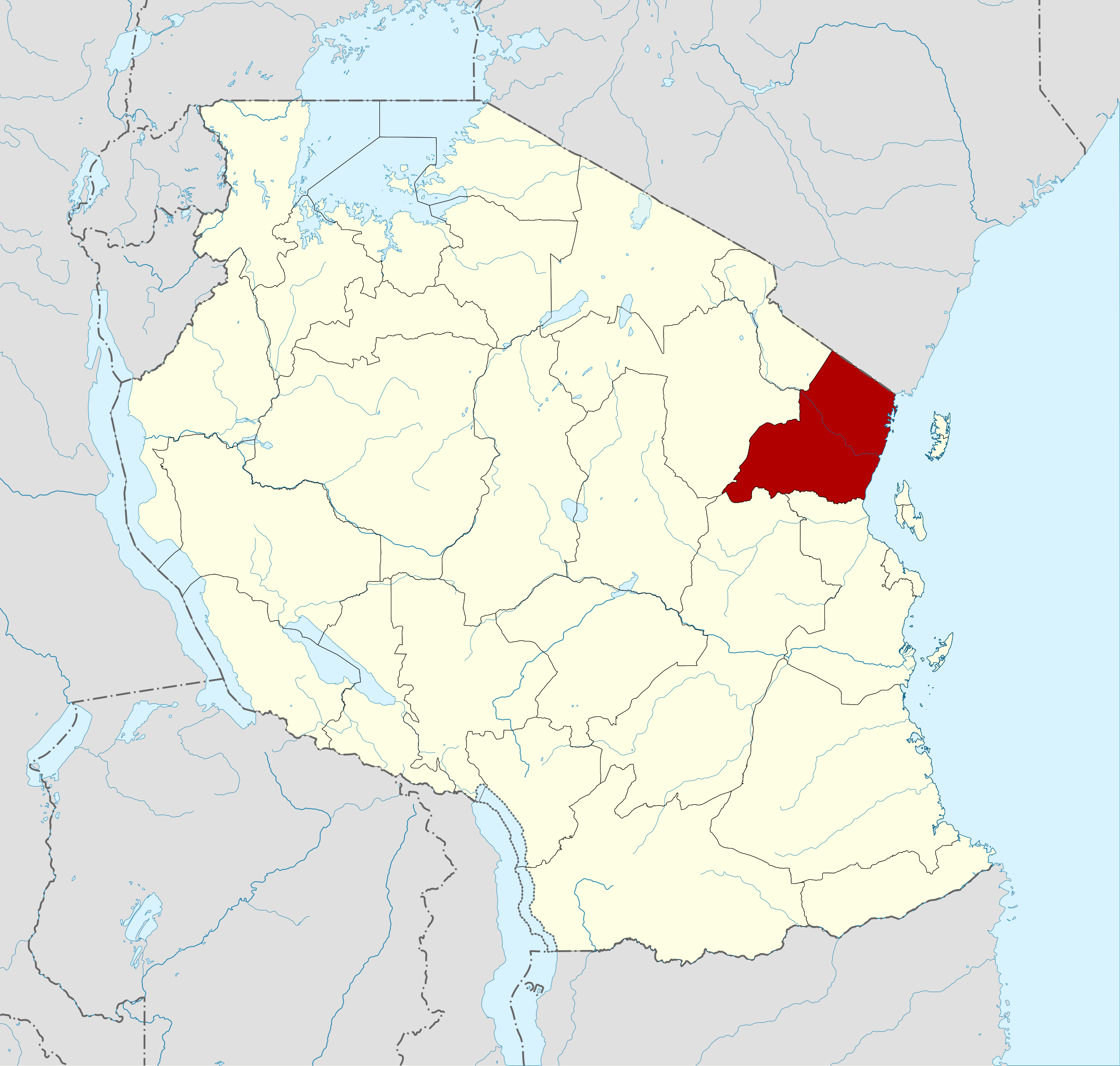
| 2009年5月3號 (日) 10:38 |  | 3,096 × 2,947(829 KB) | Sémhur(傾偈 | 貢獻) | =={{int:summary}}== {{Information |Description= {{en|1=Locator map of Tanga region, Tanzania.}} {{es|1=Mapa de localización de la provincia de Tanga, Tanzania.}} {{fr|1=Carte de localisation de la région de Tanga, [[:fr |
你無得衾咗個檔案。
檔案用途
以下嘅2版用到呢個檔:
全域檔案使用情況
下面嘅維基都用緊呢個檔案:
- an.wikipedia.org嘅使用情況
- ar.wikipedia.org嘅使用情況
- avk.wikipedia.org嘅使用情況
- bn.wikipedia.org嘅使用情況
- ca.wikipedia.org嘅使用情況
- ckb.wikipedia.org嘅使用情況
- cs.wikipedia.org嘅使用情況
- da.wikipedia.org嘅使用情況
- de.wikipedia.org嘅使用情況
- el.wikipedia.org嘅使用情況
- en.wikipedia.org嘅使用情況
- eo.wikipedia.org嘅使用情況
- es.wikipedia.org嘅使用情況
- et.wikipedia.org嘅使用情況
- eu.wikipedia.org嘅使用情況
- fa.wikipedia.org嘅使用情況
- fi.wikipedia.org嘅使用情況
- frr.wikipedia.org嘅使用情況
- fr.wikipedia.org嘅使用情況
- gl.wikipedia.org嘅使用情況
- ha.wikipedia.org嘅使用情況
- he.wikipedia.org嘅使用情況
- hr.wikipedia.org嘅使用情況
- id.wikipedia.org嘅使用情況
- ig.wikipedia.org嘅使用情況
- incubator.wikimedia.org嘅使用情況
- it.wikipedia.org嘅使用情況
- ja.wikipedia.org嘅使用情況
- ka.wikipedia.org嘅使用情況
- lv.wikipedia.org嘅使用情況
- nl.wikipedia.org嘅使用情況
- nn.wikipedia.org嘅使用情況
- no.wikipedia.org嘅使用情況
- pl.wikipedia.org嘅使用情況
- pnb.wikipedia.org嘅使用情況
- ru.wikipedia.org嘅使用情況
- sr.wikipedia.org嘅使用情況
- sw.wikipedia.org嘅使用情況
- tr.wikipedia.org嘅使用情況
睇呢個檔案嘅更多全域使用情況。