File:Tanzania relief location map.svg
跳转到导航
跳转到搜索

此SVG文件的PNG预览的大小:630 × 600像素。 其他分辨率:252 × 240像素 | 504 × 480像素 | 807 × 768像素 | 1,076 × 1,024像素 | 2,152 × 2,048像素 | 3,302 × 3,143像素。
原始文件 (SVG文件,尺寸为3,302 × 3,143像素,文件大小:3.1 MB)
说明
说明
添加一行文字以描述该文件所表现的内容
摘要
[编辑]| 描述 |
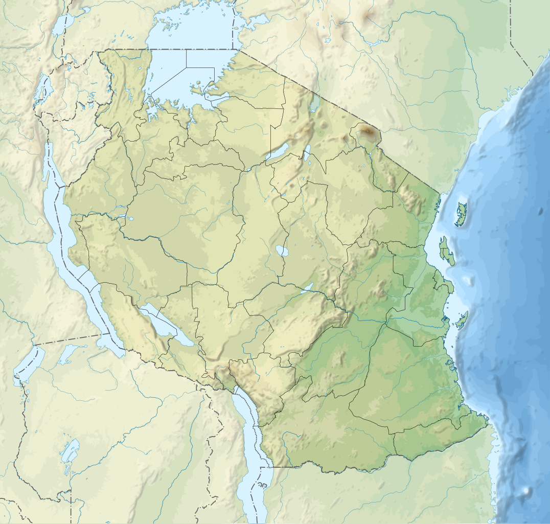
English: Relief location map of Tanzania.
Equirectangular projection. 1° N, 28° W, 42° E, -13° S. Center : -6.375, 35 Español: Mapa de georreferenciación de Tanzania. 1° N, 28° O, 42° E, -13° S. Centro : -6.375, 35
Français : Carte de géolocalisation du relief de la Tanzanie. Projection cylindrique équidistante. 1° N, 28° O, 42° E, -13° S. Centre : -6.375, 35 |
||
| 日期 | (UTC) | ||
| 来源 | Derived from Tanzania_map-fr.svg | ||
| 作者 | Sémhur | ||
| 其他版本 |
[]
| ||
| 署名 (由许可协议要求) | © Sémhur / Wikimedia Commons / | ||
| SVG | W3C-validity not checked.
|
||
| Graphic Lab |


| 物体位置 | | 在以下服务上查看本图像和附近其他图像: OpenStreetMap |
|---|
许可协议
[编辑]
我,本作品著作权人,特此采用以下许可协议发表本作品:
| 非营利著作权:本艺术作品是自由的,您可以依据自由艺术作品许可协议的条款传播和/或修改本艺术作品。您可以在Copyleft Attitude网站或其他网站找到该许可协议的样本。 |
This file is licensed under the Creative Commons Attribution-Share Alike Attribution-Share Alike 4.0 International, 3.0 Unported, 2.5 Generic, 2.0 Generic and 1.0 Generic license.
- 您可以自由地:
- 共享 – 复制、发行并传播本作品
- 修改 – 改编作品
- 惟须遵守下列条件:
- 署名 – 您必须对作品进行署名,提供授权条款的链接,并说明是否对原始内容进行了更改。您可以用任何合理的方式来署名,但不得以任何方式表明许可人认可您或您的使用。
- 相同方式共享 – 如果您再混合、转换或者基于本作品进行创作,您必须以与原先许可协议相同或相兼容的许可协议分发您贡献的作品。
您可以选择您需要的许可协议。
原始上传日志
[编辑]
This image is a derivative work of the following images:
- File:Tanzania_map-fr.svg licensed with Cc-by-sa-3.0,2.5,2.0,1.0, GFDL
- 2009-03-20T13:30:18Z Sémhur 3096x3113 (3225659 Bytes) Ol Doinyo Lengaï was misplaced
- 2009-03-20T11:14:35Z Sémhur 3096x3113 (3224368 Bytes) Add location map and few summits.
- 2009-03-19T17:14:13Z Sémhur 3096x3113 (3099209 Bytes) grrr...
- 2009-03-19T17:08:18Z Sémhur 3096x3113 (3099244 Bytes) Oups ! It wasn't the valid one.
- 2009-03-19T17:05:02Z Sémhur 3096x3113 (3122421 Bytes) {{Information |Description={{en|1=Map of [[:en:Tanzania]].}} {{fr|1=Carte de la [[:fr:Tanzanie]].}} {{es|1=Mapa de [[:es:Tanzania]].}} |Source=travail personnel (own work). Sources of data: * Elevations : NASA SRTM3 (public d
Uploaded with derivativeFX
文件历史
点击某个日期/时间查看对应时刻的文件。
| 日期/时间 | 缩略图 | 大小 | 用户 | 备注 | |
|---|---|---|---|---|---|
| 当前 | 2020年3月3日 (二) 20:32 | | 3,302 × 3,143(3.1 MB) | Sémhur(留言 | 贡献) | Modifying Tanzanian border claim (from https://www.nbs.go.tz/index.php/en/census-surveys/gis/385-2012-phc-shapefiles-level-one-and-two) |
| 2017年6月28日 (三) 20:18 |  | 3,302 × 3,143(3.09 MB) | Sémhur(留言 | 贡献) | Update with Songwe region | |
| 2013年12月28日 (六) 14:11 |  | 3,096 × 2,947(3.1 MB) | Sémhur(留言 | 贡献) | Updated with the four new regions | |
| 2009年5月3日 (日) 15:17 |  | 3,096 × 2,947(3.55 MB) | Sémhur(留言 | 贡献) | Adding border between Arusha and Manyara | |
| 2009年5月1日 (五) 18:58 |  | 3,096 × 2,947(3.54 MB) | Sémhur(留言 | 贡献) | {{int:summary}} {{Information |Description={{en|1=Relief location map of en:Tanzania.}} {{fr|1=Carte de géolocalisation du relief de la fr:Tanzanie.}} {{es|1=Mapa de georreferenciación de es:Tanzania.}} Equirectangular projection. 0.25� |
您不可以覆盖此文件。
文件用途
以下18个页面使用本文件:
- Atlas of Tanzania
- File:Tansania map-de.svg
- File:Tanzania location map.svg
- File:Tanzania map-be.svg
- File:Tanzania map-bg.svg
- File:Tanzania map-en.svg
- File:Tanzania map-es.svg
- File:Tanzania map-fr.jpg
- File:Tanzania map-fr.svg
- File:Tanzania map-it.svg
- File:Tanzania map-mk.svg
- File:Tanzania map-nb.svg
- File:Tanzania map-ru.svg
- File:Tanzania map-sw.svg
- File:Tanzania map-uk.svg
- File:Tanzania relief location map.svg
- Template:Other versions/Maps of Tanzania
- Template:Other versions/Tanzania map
全域文件用途
以下其他wiki使用此文件:
- af.wikipedia.org上的用途
- als.wikipedia.org上的用途
- ar.wikipedia.org上的用途
- ast.wikipedia.org上的用途
- as.wikipedia.org上的用途
- avk.wikipedia.org上的用途
- av.wikipedia.org上的用途
- azb.wikipedia.org上的用途
- az.wikipedia.org上的用途
- ban.wikipedia.org上的用途
- ba.wikipedia.org上的用途
查看此文件的更多全域用途。