File:Tasher Desh performed by Dakshini community.jpg
Jump to navigation
Jump to search
Size of this preview: 800 × 478 pixels. Other resolutions: 320 × 191 pixels | 640 × 383 pixels | 1,024 × 612 pixels | 1,280 × 765 pixels | 3,264 × 1,952 pixels.
Original file (3,264 × 1,952 pixels, file size: 622 KB, MIME type: image/jpeg)
Captions
Captions
Add a one-line explanation of what this file represents
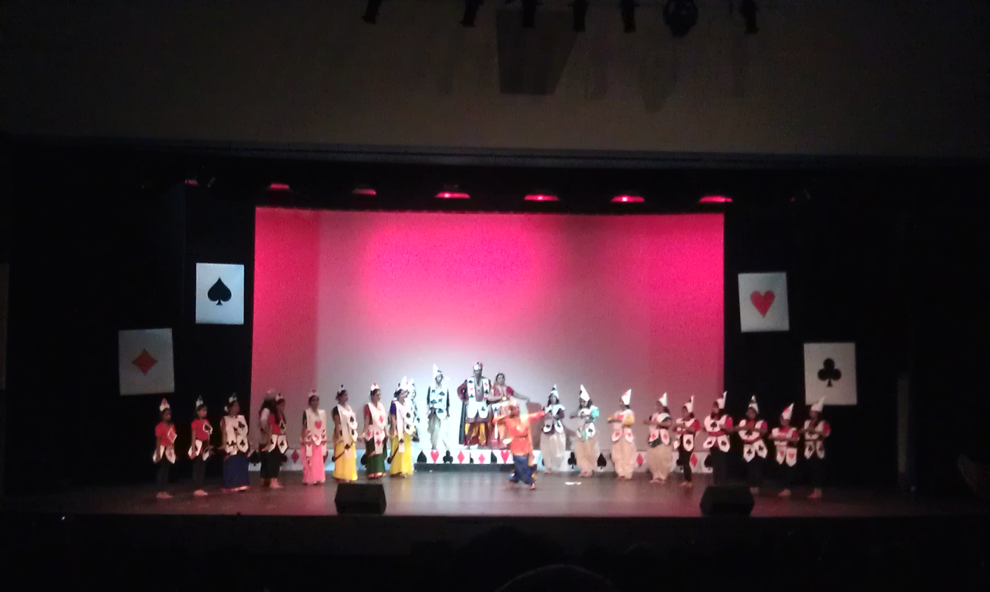
| Description | The dance drama by Rabindranath Tagore, "Tasher Desh" or "Land of Cards," performed by adults and youth in the Dakshini community. (Tanaya Ghosh / Neon Tommy) | ||
| Date | |||
| Source | Flickr: IMAG4006 | ||
| Author | Neon Tommy | ||
| Permission (Reusing this file) |
This file is licensed under the Creative Commons Attribution-Share Alike 2.0 Generic license.
|
| Camera location | | View this and other nearby images on: OpenStreetMap |
|---|
File history
Click on a date/time to view the file as it appeared at that time.
| Date/Time | Thumbnail | Dimensions | User | Comment | |
|---|---|---|---|---|---|
| current | 12:11, 16 October 2012 | | 3,264 × 1,952 (622 KB) | Flickr upload bot (talk | contribs) | Uploaded from http://flickr.com/photo/42757699@N04/6237849295 using Flickr upload bot |
You cannot overwrite this file.
File usage on Commons
There are no pages that use this file.