File:Tegtmeyer South Site.jpg
Jump to navigation
Jump to search
Size of this preview: 800 × 600 pixels. Other resolutions: 320 × 240 pixels | 640 × 480 pixels | 1,024 × 768 pixels | 1,280 × 960 pixels | 2,560 × 1,920 pixels | 2,816 × 2,112 pixels.
Original file (2,816 × 2,112 pixels, file size: 3.63 MB, MIME type: image/jpeg)
Captions
Captions
Add a one-line explanation of what this file represents
| Camera location | | View this and other nearby images on: OpenStreetMap |
|---|
| Description |
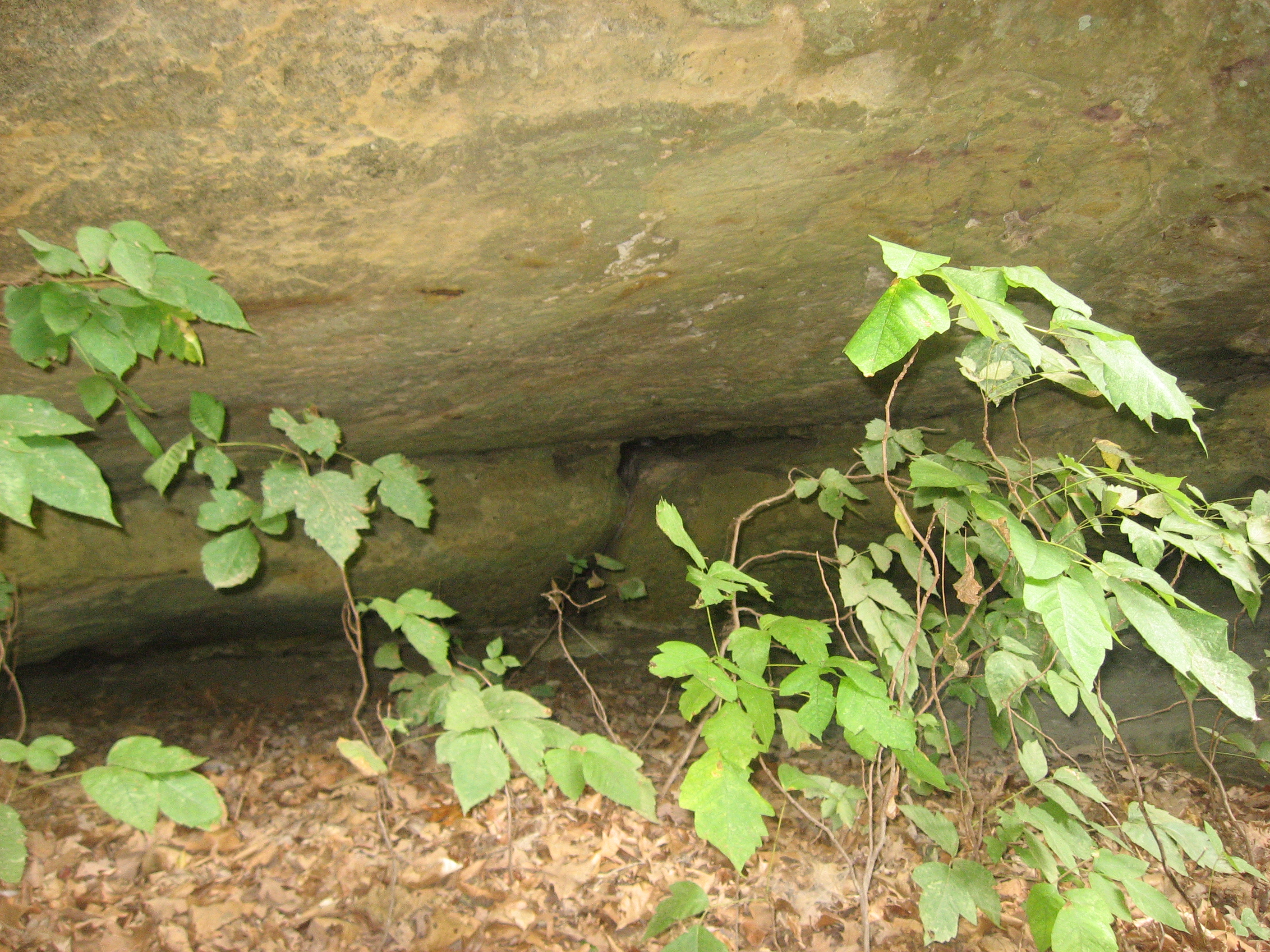
English: Overview of the main portion of the Tegtmeyer South Site, a petroglyph site in the Piney Creek Ravine State Natural Area east of Chester in Randolph County, Illinois, United States. Unfortunately, photography cannot easily depict any of these petroglyphs. The site has been designated an archaeological site. |
||
| Date | Taken on 8 September 2012 | ||
| Source | Own work | ||
| Author | Nyttend | ||
| Permission (Reusing this file) |
|
File history
Click on a date/time to view the file as it appeared at that time.
| Date/Time | Thumbnail | Dimensions | User | Comment | |
|---|---|---|---|---|---|
| current | 11:56, 8 October 2012 | | 2,816 × 2,112 (3.63 MB) | Nyttend (talk | contribs) | {{Location|37|53|50.6|N|89|38|16|W}} {{Information |Description={{en|Overview of the main portion of the Tegtmeyer South Site, a {{w|petroglyph}} site in the {{w|Piney Creek Ravine State Natural Area|Piney Creek Ravine Nature Preserve}} east of {{w|Che... |
You cannot overwrite this file.
File usage on Commons
There are no pages that use this file.