File:Tekom en Yucatan.svg
Jump to navigation
Jump to search

Size of this PNG preview of this SVG file: 668 × 599 pixels. Other resolutions: 268 × 240 pixels | 535 × 480 pixels | 856 × 768 pixels | 1,142 × 1,024 pixels | 2,283 × 2,048 pixels | 1,184 × 1,062 pixels.
Original file (SVG file, nominally 1,184 × 1,062 pixels, file size: 225 KB)
Captions
Captions
Add a one-line explanation of what this file represents
| Description |
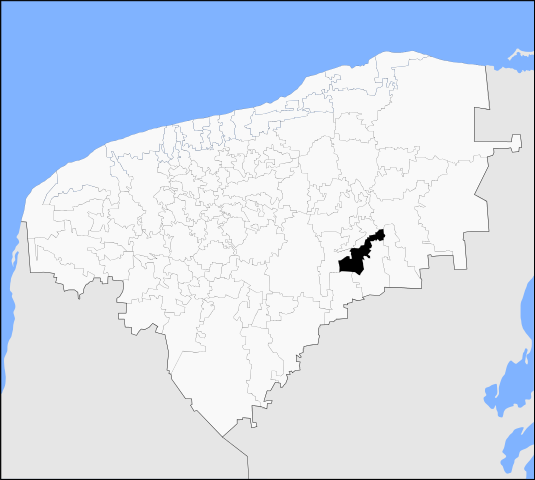
Español: Mapa del municipio de Tekom en el estado mexicano de Yucatán.
Русский: Муниципалитет Теком на карте штата Юкатан, Мексика. |
| Date | (UTC) |
| Source | |
| Author |
| This is a retouched picture, which means that it has been digitally altered from its original version. The original can be viewed here: Sotuta en Yucatan.svg:
|
I, the copyright holder of this work, hereby publish it under the following license:
| I, the copyright holder of this work, release this work into the public domain. This applies worldwide. In some countries this may not be legally possible; if so: I grant anyone the right to use this work for any purpose, without any conditions, unless such conditions are required by law. |
Uploaded with derivativeFX
File history
Click on a date/time to view the file as it appeared at that time.
| Date/Time | Thumbnail | Dimensions | User | Comment | |
|---|---|---|---|---|---|
| current | 14:01, 1 October 2011 | | 1,184 × 1,062 (225 KB) | MikSed (talk | contribs) | {{Information |Description=* {{es icon}}Mapa del municipio de Tekom en el estado mexicano de Yucatán. * {{ru icon}}Муниципалитет Теком на карте штата Юкатан, Мексика. |Source=*File:Sotuta_en_Yucatan.svg |D |
You cannot overwrite this file.
File usage on Commons
The following page uses this file:
File usage on other wikis
The following other wikis use this file:
- Usage on ca.wikipedia.org
- Usage on eo.wikipedia.org
- Usage on es.wikipedia.org
- Usage on eu.wikipedia.org
- Usage on ru.wikipedia.org
- Usage on vi.wikipedia.org
- Usage on www.wikidata.org