File:Thailand Pathum Thani location map.svg
Jump to navigation
Jump to search

Size of this PNG preview of this SVG file: 800 × 541 pixels. Other resolutions: 320 × 216 pixels | 640 × 433 pixels | 1,024 × 692 pixels | 1,280 × 865 pixels | 2,560 × 1,730 pixels | 1,595 × 1,078 pixels.
Original file (SVG file, nominally 1,595 × 1,078 pixels, file size: 81 KB)
Captions
Captions
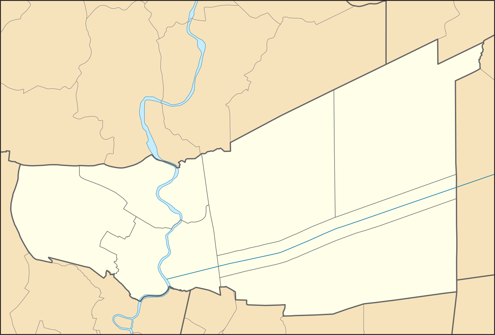
Pathum Thani Province
Summary
[edit]
| Description |
English: Location Map of Chachoengsao Province
ไทย: แผนที่สำหรับระบุตำแหน่งในจังหวัดปทุมธานี |
| Date | |
| Source |
This W3C-unspecified vector image was created with Inkscape . This vector image includes elements that have been taken or adapted from this file: |
| Author |
Hdamm for the original map ZeroSixTwo for recolouring |
Licensing
[edit]
This file is licensed under the Creative Commons Attribution-Share Alike 3.0 Unported license.
- You are free:
- to share – to copy, distribute and transmit the work
- to remix – to adapt the work
- Under the following conditions:
- attribution – You must give appropriate credit, provide a link to the license, and indicate if changes were made. You may do so in any reasonable manner, but not in any way that suggests the licensor endorses you or your use.
- share alike – If you remix, transform, or build upon the material, you must distribute your contributions under the same or compatible license as the original.
File history
Click on a date/time to view the file as it appeared at that time.
| Date/Time | Thumbnail | Dimensions | User | Comment | |
|---|---|---|---|---|---|
| current | 23:55, 17 May 2020 | | 1,595 × 1,078 (81 KB) | ZeroSixTwo (talk | contribs) | Uploaded a work by Hdamm for the original map<br>ZeroSixTwo for recolouring from {{Created with Inkscape}} {{AttribSVG|Amphoe Pathum Thani.svg|Hdamm}} with UploadWizard |
You cannot overwrite this file.
File usage
There are no pages that use this file.
Global file usage
The following other wikis use this file:
- Usage on fr.wikipedia.org
- Usage on id.wikipedia.org
- Usage on th.wikipedia.org
- เทศบาลนครรังสิต
- รายชื่อโรงเรียนในจังหวัดปทุมธานี
- เทศบาลเมืองลำสามแก้ว
- เทศบาลเมืองคลองหลวง
- เทศบาลเมืองท่าโขลง
- เทศบาลเมืองบึงยี่โถ
- ตำบลหนองสามวัง
- องค์การบริหารส่วนตำบลบึงคำพร้อย
- เทศบาลเมืองปทุมธานี
- ตำบลศาลาครุ
- องค์การบริหารส่วนตำบลบึงบา
- เทศบาลเมืองคูคต
- เทศบาลเมืองสนั่นรักษ์
- เทศบาลเมืองบางคูวัด
- เทศบาลเมืองลาดสวาย
- มอดูล:Location map/data/Thailand Pathum Thani
- เทศบาลเมืองบางกะดี
- พิพิธภัณฑสถานแห่งชาติ กาญจนาภิเษก
- มอดูล:Location map/data/Thailand Pathum Thani/doc