File:The aerial photo around Hinoharu Station.jpg
Jump to navigation
Jump to search
Size of this preview: 800 × 578 pixels. Other resolutions: 320 × 231 pixels | 640 × 463 pixels | 1,024 × 740 pixels | 1,354 × 979 pixels.
Original file (1,354 × 979 pixels, file size: 694 KB, MIME type: image/jpeg)
Captions
Captions
Add a one-line explanation of what this file represents
Summary[edit]
| Description |
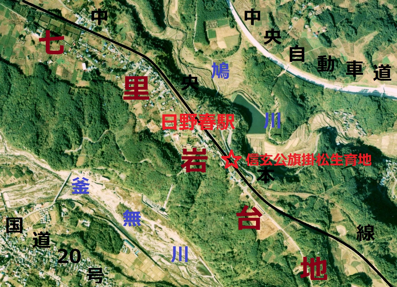
English: The aerial photo around Hinoharu Station
日本語: 日野春駅周辺の空中写真。地名等を加えた。ccb-76-13_c16c_6を使用。 |
| Date | |
| Source | 国土情報ウェブマッピングシステム |
| Author | 国土交通省 |
Licensing[edit]

|
The copyright holder of this file, the Ministry of Land, Infrastructure, Transport and Tourism of Japan, allows anyone to use it for any purpose, provided that the copyright holder is properly attributed. Redistribution, derivative work, commercial use, and all other use is permitted. |
Attribution:
Copyright © National Land Image Information (Color Aerial Photographs), Ministry of Land, Infrastructure, Transport and Tourism
|
 |
This image is copyrighted by the Ministry of Land, Infrastructure, Transport and Tourism of Japan. For terms of use, see the stipulation to use of National Land Information (in Japanese) and message from MLIT (in Japanese and English). When you display this image on an article, include the following phrase in the description: "Made based on National Land Image Information (Color Aerial Photographs), Ministry of Land, Infrastructure, Transport and Tourism".
|
File history
Click on a date/time to view the file as it appeared at that time.
| Date/Time | Thumbnail | Dimensions | User | Comment | |
|---|---|---|---|---|---|
| current | 04:49, 14 May 2013 | | 1,354 × 979 (694 KB) | さかおり (talk | contribs) | Modification of text |
| 03:09, 1 April 2013 |  | 1,354 × 979 (676 KB) | さかおり (talk | contribs) | {{Information |Description ={{en|1=The aerial photo around Hinoharu Station}} {{ja|1=日野春駅周辺の空中写真。地名等を加えた。ccb-76-13_c16c_6を使用。}} |Source =国土情報ウェブマッピングシステム |Author... |
You cannot overwrite this file.
File usage on Commons
There are no pages that use this file.
File usage on other wikis
The following other wikis use this file:
- Usage on ja.wikipedia.org