File:The cemetery of the orthodox community Haifa (21).JPG
Original file (4,608 × 3,456 pixels, file size: 4.42 MB, MIME type: image/jpeg)
Captions
Summary[edit]
DescriptionThe cemetery of the orthodox community Haifa (21).JPG |
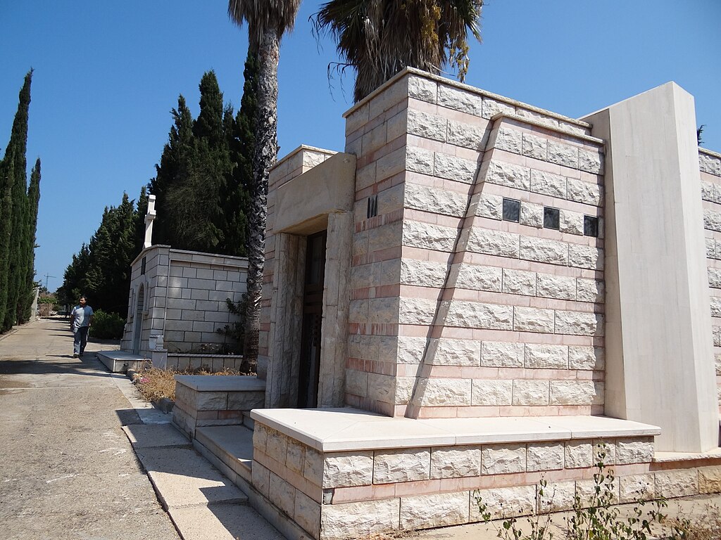
The cemetery of the orthodox community Haifa, West Haifa Israel בית העלמין של העדה האורתודוקסית בחיפה, שוכן באזור חוף הכרמל, ממזרח למחלף הדרומי של חיפה, ליד מנהרות הכרמל. בצמוד אליו שוכן בית הקברות הצבאי חוף כיאט מבני קבורה משפחתיים |
Date | |
Source | Own work |
Author | Hanay |
Permission (Reusing this file) |
This file is licensed under the Creative Commons Attribution-Share Alike 3.0 Unported license. Attribution: Hanay
|
Camera location | 32° 47′ 55.96″ N, 34° 57′ 48.6″ E | View this and other nearby images on: OpenStreetMap | 32.798878; 34.963500 |
---|
File history
Click on a date/time to view the file as it appeared at that time.
Date/Time | Thumbnail | Dimensions | User | Comment | |
---|---|---|---|---|---|
current | 08:30, 11 September 2011 | 4,608 × 3,456 (4.42 MB) | Hanay (talk | contribs) |
You cannot overwrite this file.
File usage on Commons
There are no pages that use this file.
File usage on other wikis
The following other wikis use this file:
- Usage on he.wikipedia.org
Metadata
This file contains additional information such as Exif metadata which may have been added by the digital camera, scanner, or software program used to create or digitize it. If the file has been modified from its original state, some details such as the timestamp may not fully reflect those of the original file. The timestamp is only as accurate as the clock in the camera, and it may be completely wrong.
Camera manufacturer | SONY |
---|---|
Camera model | DSC-HX100V |
Exposure time | 1/320 sec (0.003125) |
F-number | f/2.8 |
ISO speed rating | 100 |
Date and time of data generation | 10:01, 3 September 2011 |
Lens focal length | 4.8 mm |
Altitude | 24.185 meters above sea level |
Orientation | Normal |
Horizontal resolution | 72 dpi |
Vertical resolution | 72 dpi |
File change date and time | 10:01, 3 September 2011 |
Y and C positioning | Co-sited |
Exposure Program | Landscape mode (for landscape photos with the background in focus) |
Exif version | 2.3 |
Date and time of digitizing | 10:01, 3 September 2011 |
Image compression mode | 2 |
APEX brightness | 10.53671875 |
APEX exposure bias | 0 |
Maximum land aperture | 3 APEX (f/2.83) |
Metering mode | Pattern |
Light source | Unknown |
Flash | Flash did not fire, compulsory flash suppression |
Color space | sRGB |
Custom image processing | Normal process |
Exposure mode | Auto exposure |
White balance | Auto white balance |
Digital zoom ratio | 1 |
Scene capture type | Landscape |
Contrast | Normal |
Saturation | Normal |
Sharpness | Normal |
North or south latitude | North latitude |
East or west longitude | East longitude |
Receiver status | Measurement in progress |
Measurement mode | 3-dimensional measurement |
Measurement precision | Poor (1.2268) |
Speed unit | Kilometers per hour |
Speed of GPS receiver | 0.974 |
Reference for direction of movement | True direction |
Direction of movement | 168.56 |
Reference for direction of image | Magnetic direction |
Direction of image | 55.75 |
Geodetic survey data used | WGS-84 |
GPS date | 3 September 2011 |
GPS differential correction | 0 |