File:Thurbruecke Ossingen Sicht von Suedosten 01 09.jpg

Original file (1,575 × 1,049 pixels, file size: 972 KB, MIME type: image/jpeg)
Captions
Captions
|
This is an image of a cultural property of national significance in Switzerland with KGS number 10506
|
Summary[edit]
| Camera location | | View this and other nearby images on: OpenStreetMap |
|---|
|
English:
The location wherefrom this photo was taken is not trouble-free or without risk.
Deutsch:
Der Aufnahmestandort dieses Fotos ist nicht problem- oder risikolos.
|
| Description |
English:
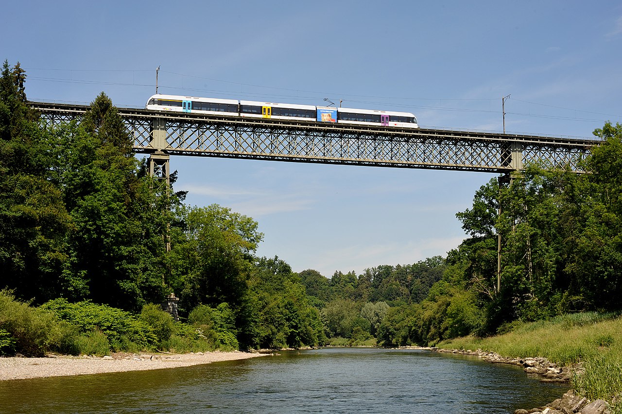
Bridge over river Thur near Ossingen, view from southeast; Zurich, Switzerland. Deutsch: Thurbrücke bei Ossingen, Sicht von Südosten; Zürich, Schweiz. |
| Date | |
| Source | Own work |
| Author | Хрюша |
Licensing[edit]
- You are free:
- to share – to copy, distribute and transmit the work
- to remix – to adapt the work
- Under the following conditions:
- attribution – You must give appropriate credit, provide a link to the license, and indicate if changes were made. You may do so in any reasonable manner, but not in any way that suggests the licensor endorses you or your use.
- share alike – If you remix, transform, or build upon the material, you must distribute your contributions under the same or compatible license as the original.

|
This media was created by Chriusha/Хрюша.
|
| Attribution (required by the license) | |
| Additional information: | |
|
The mentioned licence on my media is exclusively valid for the version and resolution up to the shown on Wikimedia Commons. Any other version of the shown media or higher resolution optionally available on another website is not included in this licencing and not allowed for free use. | |
|
The values of focal length and aperture in the metadata need to be read with precaution! |
File history
Click on a date/time to view the file as it appeared at that time.
| Date/Time | Thumbnail | Dimensions | User | Comment | |
|---|---|---|---|---|---|
| current | 14:04, 10 June 2009 | | 1,575 × 1,049 (972 KB) | Chriusha (talk | contribs) | == Summary == {{location|47|36|2.34|N|8|43|29.65|E|region:CH_heading:NW}} {{Information |Description={{en}}Bridge over river Thur near Ossingen, view from southeast; Zurich, Switzerland. {{de}}Thurbrücke bei Ossingen, Sicht von Südosten; Zürich, Schwei |
You cannot overwrite this file.
File usage on Commons
The following 6 pages use this file:
File usage on other wikis
The following other wikis use this file:
- Usage on ca.wikipedia.org
- Usage on de.wikipedia.org
- Thur (Rhein)
- Bahnstrecke Winterthur–Etzwilen
- Thurbrücke Ossingen
- Schweizerische Gesellschaft für Technikgeschichte und Industriekultur
- Liste der Kulturgüter von nationaler Bedeutung im Kanton Zürich
- Liste der Kulturgüter in Andelfingen
- Liste der Kulturgüter in Ossingen
- Wikipedia:Hauptseite/Archiv/17. Juli 2015
- Wikipedia:WikiProjekt Schweiz/Kulturgüterschutzinventar/ZH/Bezirk Andelfingen
- Usage on en.wikipedia.org
- Usage on fr.wikipedia.org
- Usage on it.wikipedia.org
- Usage on nl.wikipedia.org
- Usage on www.wikidata.org