File:To Guia Hill Pedestrian Tunnel footbirdge staircase 09-02-2023.jpg
Jump to navigation
Jump to search

Size of this preview: 800 × 600 pixels. Other resolutions: 320 × 240 pixels | 640 × 480 pixels | 1,024 × 768 pixels | 1,280 × 960 pixels | 2,560 × 1,920 pixels | 4,032 × 3,024 pixels.
Original file (4,032 × 3,024 pixels, file size: 3.99 MB, MIME type: image/jpeg)
Captions
Captions
Add a one-line explanation of what this file represents
Summary
[edit]
| Description |
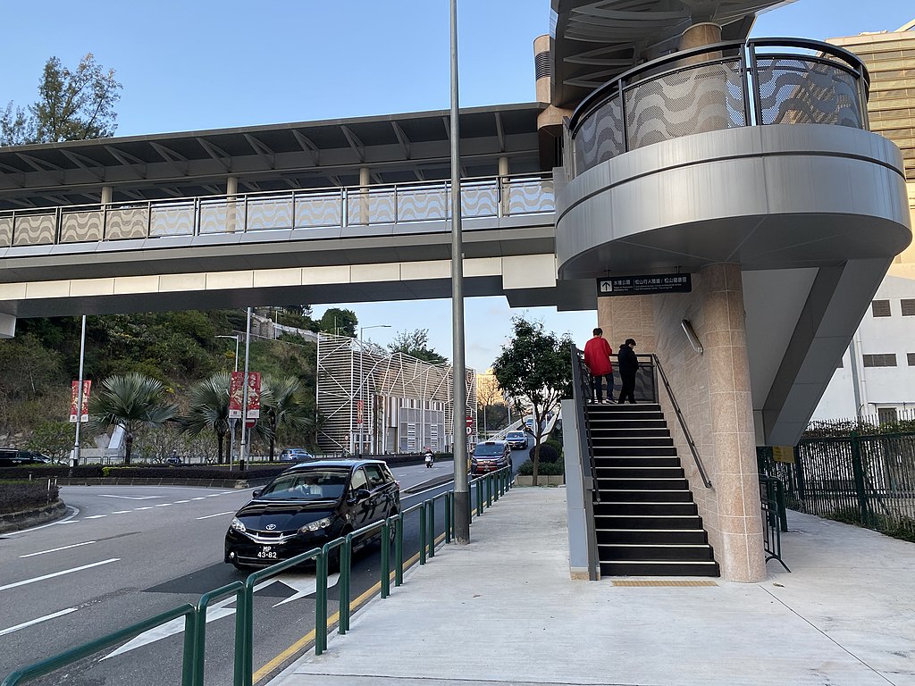
中文:这张照片在回力附近拍摄。 中文(简体):这张照片在回力附近拍摄。 中文(中国大陆):这张照片在回力附近拍摄。 中文(马来西亚):这张照片在回力附近拍摄。 中文(新加坡):这张照片在回力附近拍摄。 中文(繁體):這張照片在回力附近拍攝。 中文(香港):這張照片在回力附近拍攝。 中文(澳門):這張照片在回力附近拍攝。 中文(臺灣):這張照片在回力附近拍攝。 Čeština: Tato fotografie byla pořízena poblíž Khalifa. Dansk: Dette billede er taget nær Khalifa. Deutsch: Dieses Foto wurde in der Nähe von Khalifa aufgenommen. English: This photo was taken near Khalifa. Español: Esta foto fue tomada cerca de Khalifa. Suomi: Tämä kuva on otettu lähellä Khalifaa. Français : Cette photo a été prise près de Khalifa. Magyar: Ez a kép Khalifa közelében készült. Hrvatski: Ova fotografija je snimljena u blizini Khalife. Italiano: Questa foto è stata scattata vicino a Khalifa. Nederlands: Deze foto is genomen in de buurt van Khalifa. Polski: To zdjęcie zostało zrobione w pobliżu Khalifa. Português: Esta foto foi tirada perto de Khalifa. Română: Această fotografie a fost făcută lângă Khalifa. Slovenčina: Táto fotografia bola urobená v blízkosti Khalifa. Slovenščina: Ta fotografija je bila posneta blizu Khalife. Svenska: Den här bilden är tagen nära Khalifa. 日本語: この写真はハリファの近くで撮影されました。 한국어: 이 사진은 칼리파 근처에서 찍은 것입니다. Български: Тази снимка е направена близо до Халифа. Македонски: Оваа фотографија е направена во близина на Калифа. Русский: Эта фотография была сделана недалеко от Халифы. Українська: Це фото зроблено біля Халіфи. Bahasa Indonesia: Foto ini diambil di dekat Khalifa. ไทย: ภาพนี้ถ่ายใกล้กับคอลิฟา Tiếng Việt: Bức ảnh này được chụp gần Khalifa. العربية: تم التقاط هذه الصورة بالقرب من خليفة. فارسی: این عکس در نزدیکی خلیفه گرفته شده است. |
| Date | |
| Source | Own work |
| Author | LN9267 |
| Camera location | | View this and other nearby images on: OpenStreetMap |
|---|
Licensing
[edit]
I, the copyright holder of this work, hereby publish it under the following license:
This file is licensed under the Creative Commons Attribution-Share Alike 4.0 International license.
- You are free:
- to share – to copy, distribute and transmit the work
- to remix – to adapt the work
- Under the following conditions:
- attribution – You must give appropriate credit, provide a link to the license, and indicate if changes were made. You may do so in any reasonable manner, but not in any way that suggests the licensor endorses you or your use.
- share alike – If you remix, transform, or build upon the material, you must distribute your contributions under the same or compatible license as the original.
File history
Click on a date/time to view the file as it appeared at that time.
| Date/Time | Thumbnail | Dimensions | User | Comment | |
|---|---|---|---|---|---|
| current | 14:57, 9 February 2023 | | 4,032 × 3,024 (3.99 MB) | LN9267 (talk | contribs) | Uploaded own work with UploadWizard |
You cannot overwrite this file.
File usage on Commons
There are no pages that use this file.
File usage on other wikis
The following other wikis use this file:
- Usage on zh.wikipedia.org