File:Tochigi prefectural road 237 near 1075 Konakacho Sano 20201129 113254.jpg

Original file (4,032 × 2,268 pixels, file size: 5.04 MB, MIME type: image/jpeg)
Captions
Captions
| Description |
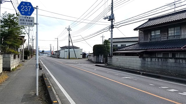
日本語: 栃木県道237号(佐野市小中町1075付近) |
||||||||||
| Date | Taken on 29 November 2020, 11:32:54 JST (UTC+9) | ||||||||||
| Source | Own work | ||||||||||
| Author |
|
||||||||||
| Permission (Reusing this file) |
LERK, the copyright holder of this work, hereby publishes it under the following licenses: This file is licensed under the Creative Commons Attribution-Share Alike 4.0 International license. Attribution: LERK
This file is licensed under the Creative Commons Attribution-Share Alike 2.1 Japan license. Attribution: LERK
 You may select the license of your choice. |
||||||||||
| Camera location | | View this and other nearby images on: OpenStreetMap |
|---|
File history
Click on a date/time to view the file as it appeared at that time.
| Date/Time | Thumbnail | Dimensions | User | Comment | |
|---|---|---|---|---|---|
| current | 13:38, 31 December 2020 | | 4,032 × 2,268 (5.04 MB) | LERK (talk | contribs) | {{Information |Description={{ja|栃木県道237号(佐野市小中町1075付近)}} |Source={{own}} |Date={{taken_on|location=Japan|2020-11-29 11:32:54}} JST (UTC+9) |Author={{User:LERK/Info}} |Permission={{User:LERK/Licence2016}} |other_versions= }} {{location|36|20|11.57|N|139|33|24.84|E}} Category:Tochigi Prefectural Road Route 237 Category:Japan prefectural highway shields Category:Number 237 on road signs Category:2020 in road transport in Japan [[Category:November 2020 in To... |
You cannot overwrite this file.
File usage on Commons
There are no pages that use this file.