File:TodmordenMap1915Atlas.JPG
跳至導覽
跳至搜尋

預覽大小:513 × 599 像素。 其他解析度:205 × 240 像素 | 525 × 613 像素。
原始檔案 (525 × 613 像素,檔案大小:99 KB,MIME 類型:image/jpeg)
說明
說明
添加單行說明來描述出檔案所代表的內容
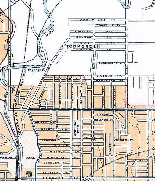
| 描述 | Map of Todmorden (today East York in Toronto) and what is today the Riverdale neighbourhood. (excerpt of Toronto map) |
| 日期 | |
| 來源 | 2nd Edition, 1915, Atlas of Canada (Natural Resources Canada) |
| 作者 | Government of Canada (Department of the Interior) |
| 授權許可 (重用此檔案) |
Crown Copyright expired (published more than 50 years ago -- see en:Crown copyright#Canada). May be reproduced, in part or in whole and by any means, without charge or further permission from Natural Resources Canada, subject to: (1)Users exercise due diligence in ensuring the accuracy of the materials reproduced; (2)Natural Resources Canada be identified as the source department; and, (3) The reproduction is not represented as an official version of the materials reproduced, nor as having been made, in affiliation with or with the endorsement of Natural Resources Canada. |
此加拿大作品於加拿大屬公有領域,蓋其版權因下列其中一個理由而已經失效︰
本非皇家版權圖像,並且
|
 |
檔案歷史
點選日期/時間以檢視該時間的檔案版本。
| 日期/時間 | 縮圖 | 尺寸 | 使用者 | 備註 | |
|---|---|---|---|---|---|
| 目前 | 2007年8月30日 (四) 17:14 | | 525 × 613(99 KB) | Skeezix1000(留言 | 貢獻) | {{Information |Description=Map of Todmorden (today East York in Toronto) |Source=[http://atlas.nrcan.gc.ca/site/english/maps/archives/2ndedition 2nd Edition, 1915, Atlas of Canada] |Date=1915 |Author=Government of Canada (Department of the Interior) |Perm |
無法覆蓋此檔案。
檔案用途
沒有使用此檔案的頁面。
全域檔案使用狀況
以下其他 wiki 使用了這個檔案:
- en.wikipedia.org 的使用狀況
- www.wikidata.org 的使用狀況
- zh.wikipedia.org 的使用狀況