File:Tokyo Metropolitan Koganei Kita High School 東京都立小金井北高等学校.jpg
Jump to navigation
Jump to search

Size of this preview: 800 × 600 pixels. Other resolutions: 320 × 240 pixels | 640 × 480 pixels | 1,024 × 768 pixels | 1,280 × 960 pixels | 2,560 × 1,920 pixels | 4,192 × 3,144 pixels.
Original file (4,192 × 3,144 pixels, file size: 2.09 MB, MIME type: image/jpeg)
Captions
Captions
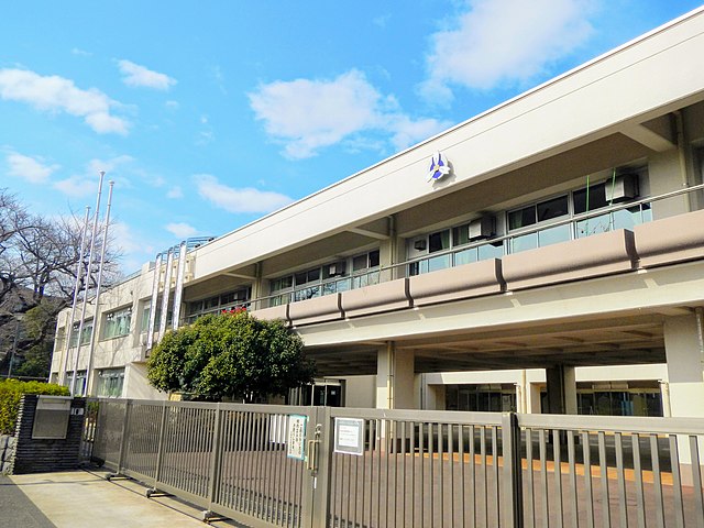
Tokyo Metropolitan Koganei Kita High School
Summary
[edit]
| Description |
日本語: 北大通りから見た、2015年以降使用されている新校舎の外観
English: The new school building of Tokyo Metropolitan Koganei Kita High School built in 2015 |
| Date | Taken on 29 February 2020, 13:16:36 |
| Source | Own work |
| Author | しっかかもっかか |
| Camera location | | View this and other nearby images on: OpenStreetMap |
|---|
Licensing
[edit]
I, the copyright holder of this work, hereby publish it under the following license:
This file is licensed under the Creative Commons Attribution-Share Alike 4.0 International license.
- You are free:
- to share – to copy, distribute and transmit the work
- to remix – to adapt the work
- Under the following conditions:
- attribution – You must give appropriate credit, provide a link to the license, and indicate if changes were made. You may do so in any reasonable manner, but not in any way that suggests the licensor endorses you or your use.
- share alike – If you remix, transform, or build upon the material, you must distribute your contributions under the same or compatible license as the original.
File history
Click on a date/time to view the file as it appeared at that time.
| Date/Time | Thumbnail | Dimensions | User | Comment | |
|---|---|---|---|---|---|
| current | 15:01, 8 February 2021 | | 4,192 × 3,144 (2.09 MB) | しっかかもっかか (talk | contribs) | Uploaded own work with UploadWizard |
You cannot overwrite this file.
File usage on Commons
There are no pages that use this file.
File usage on other wikis
The following other wikis use this file:
- Usage on ja.wikipedia.org