File:Top of Peavine Mountain, Reno, Nevada (49793800037).jpg
Original file (5,184 × 3,888 pixels, file size: 4.89 MB, MIME type: image/jpeg)
Captions
Captions
Summary
[edit].jpg&action=edit§ion=1)
| Description |
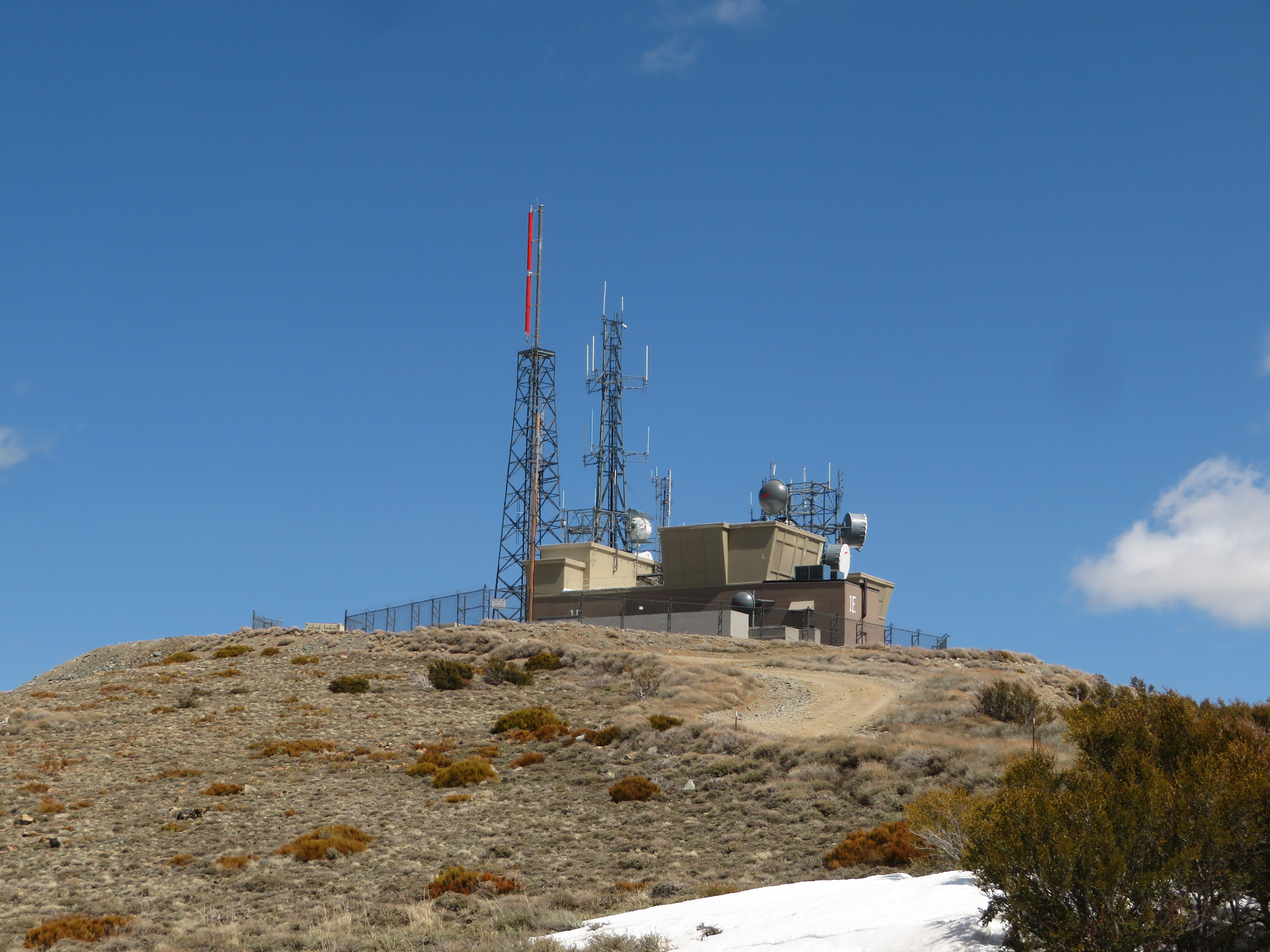
Peavine Peak, the highest point on Peavine mountain, is located in Washoe County Nevada, at the northwest corner of the Truckee Meadows and about 3.5 miles (5.6 km) due east of the California state. It forms one of the most dominant geographical features in the Reno/Sparks area. Early prospectors to the mountain discovered wild pea vines growing in the vicinity of Peavine Springs on the northeast flank of the mountain, near Poeville, hence the name. Much of the northern Truckee Meadows is built atop Peavine alluvium, most significantly from just west of Lake Park in Northwest Reno, across the campus of the University of Nevada-Reno, and toward Proctor Hug High School in Northeast Reno. Above these alluvial deposits, the sediments become coarser and are frequently interspersed with diatomaceous material. With the discovery of dozens of archaeological sites on Peavine and in the surrounding areas, it is apparent that aboriginal Great Basin cultures were active in this area. The predominant cultures were those of the Washo and Northern Paiute peoples, their artifacts having been found at locations ranging from Bull Ranch, at the southern terminus of Bull Ranch Creek on the southern flank of the mountain, to the shores of White Lake north of the Peavine (Many of these sites have been found above the 6,000 foot level). Extant artifacts have been traced to both the Kings Beach (ca. 500-1500 A.D.) and Martis (ca. 2000 B.C. to 500A.D.) cultures at sites primarily located within the Truckee River drainage. Due to its proximity to the Reno-Sparks area, Peavine is attractive to and popular with all varieties of outdoor enthusiasts. Under the stewardship of the Humboldt-Toiyabe National Forest, many miles of hiking and mountain bike trails have been added, and the varied geography provides a range of challenges. Peavine is also a favorite for off-road vehicles, although access has become increasingly restricted in the past fifteen years from Northwest Reno, due largely to residential building in that area. The HTNF maintains assorted access points across this area on the southwest flank of the mountain, some allowing for motor vehicles, with others designed for pedestrian traffic; access from the east and the north is substantially less regulated. To service and install the towers and stations located at the peak and on several promontories, an access road was constructed, curling up the north and east faces of the mountain. Weather permitting, this road is passable by most two-wheel-drive vehicles with modest undercarriage clearance and extends to the uppermost summit. <a href="https://en.wikipedia.org/wiki/Peavine_Peak" rel="noreferrer nofollow">en.wikipedia.org/wiki/Peavine_Peak</a> <a href="https://en.wikipedia.org/wiki/Wikipedia:Text_of_Creative_Commons_Attribution-ShareAlike_3.0_Unported_License" rel="noreferrer nofollow">en.wikipedia.org/wiki/Wikipedia:Text_of_Creative_Commons_...</a> |
| Date | Taken on 16 April 2020, 13:45 |
| Source | Hike to Top of Peavine Mountain, Reno, Nevada |
| Author | Ken Lund from Reno, Nevada, USA |
Licensing
[edit].jpg&action=edit§ion=2)
- You are free:
- to share – to copy, distribute and transmit the work
- to remix – to adapt the work
- Under the following conditions:
- attribution – You must give appropriate credit, provide a link to the license, and indicate if changes were made. You may do so in any reasonable manner, but not in any way that suggests the licensor endorses you or your use.
- share alike – If you remix, transform, or build upon the material, you must distribute your contributions under the same or compatible license as the original.
| This image was originally posted to Flickr by Ken Lund at https://flickr.com/photos/75683070@N00/49793800037. It was reviewed on 26 September 2023 by FlickreviewR 2 and was confirmed to be licensed under the terms of the cc-by-sa-2.0. |
File history
Click on a date/time to view the file as it appeared at that time.
| Date/Time | Thumbnail | Dimensions | User | Comment | |
|---|---|---|---|---|---|
| current | 18:39, 26 September 2023 | | 5,184 × 3,888 (4.89 MB) | Mosbatho (talk | contribs) | Transferred from Flickr via #flickr2commons |
You cannot overwrite this file.
File usage on Commons
There are no pages that use this file.
.jpg&oldid=880540904)