File:Topografische Karte Wehrshausen 1857.JPG
Jump to navigation
Jump to search
No higher resolution available.
Topografische_Karte_Wehrshausen_1857.JPG (783 × 359 pixels, file size: 147 KB, MIME type: image/jpeg)
Captions
Captions
Add a one-line explanation of what this file represents
Summary[edit]
| Description |
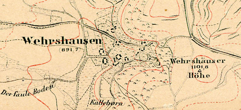
Deutsch: Topografische Karte von Wehrshausen bei Marburg (1:25000). |
| Date | |
| Source | |
| Author | Landesgeschichtliches Informationssystem Hessen (Lagis) |

Licensing[edit]
|
This work is in the public domain in its country of origin and other countries and areas where the copyright term is the author's life plus 100 years or fewer. This work is in the public domain in the United States because it was published (or registered with the U.S. Copyright Office) before January 1, 1929. | |
| This file has been identified as being free of known restrictions under copyright law, including all related and neighboring rights. | |
File history
Click on a date/time to view the file as it appeared at that time.
| Date/Time | Thumbnail | Dimensions | User | Comment | |
|---|---|---|---|---|---|
| current | 13:34, 10 September 2016 | | 783 × 359 (147 KB) | HeinrichStuerzl (talk | contribs) | =={{int:filedesc}}== {{Information |description={{de|1=Topografische Karte von Wehrshausen bei Marburg (1:25000).}} |date=1857 |source={{Extracted from|Kurfürstentum Hessen Blatt 60 Marburg.jpg}} |author=Landesgeschichtli... |
You cannot overwrite this file.
File usage on Commons
The following 3 pages use this file:
File usage on other wikis
The following other wikis use this file:
- Usage on de.wikipedia.org