File:Topographic30deg N60E0.png
Jump to navigation
Jump to search

Size of this preview: 600 × 600 pixels. Other resolutions: 240 × 240 pixels | 480 × 480 pixels | 768 × 768 pixels | 1,024 × 1,024 pixels | 1,800 × 1,800 pixels.
Original file (1,800 × 1,800 pixels, file size: 569 KB, MIME type: image/png)
Captions
Captions
Add a one-line explanation of what this file represents
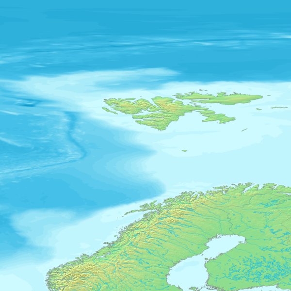
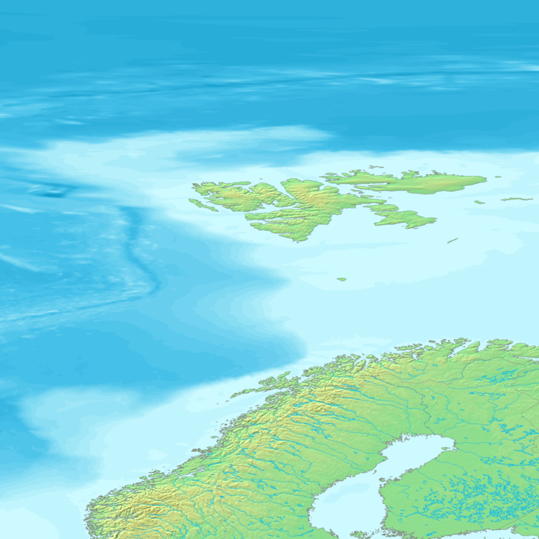
Topographic map 90deg, North latitude: 60 - 90, West longitude: 30 - East longitude: 60
[edit]Topographic map 90deg, North latitude: 60 - 90, West longitude: 30 - East longitude: 60
|
| ||||||||||||||||||||||||


Map created from DEMIS Mapserver[dead link], which are public domain. Koba-chan

|
Permission is granted to copy, distribute and/or modify this document under the terms of the GNU Free Documentation License, Version 1.2 or any later version published by the Free Software Foundation; with no Invariant Sections, no Front-Cover Texts, and no Back-Cover Texts. A copy of the license is included in the section entitled GNU Free Documentation License. |
| This file is licensed under the Creative Commons Attribution-Share Alike 3.0 Unported license. | ||
| ||
| This licensing tag was added to this file as part of the GFDL licensing update. |
File history
Click on a date/time to view the file as it appeared at that time.
| Date/Time | Thumbnail | Dimensions | User | Comment | |
|---|---|---|---|---|---|
| current | 17:49, 26 May 2005 | | 1,800 × 1,800 (569 KB) | Koba-chan (talk | contribs) | ---- Map created from [http://www2.demis.nl/mapserver/mapper.asp DEMIS Mapserver], which are public domain. Koba-chan {{GFDL}} Category:Topographic maps Category:Earth |
You cannot overwrite this file.
File usage
The following 12 pages use this file:
- Atlas of the World/Physical and topographical
- Europe
- User:Koba-chan/Topographic map
- File:Topographic30deg N30E0.png
- File:Topographic30deg N30E30.png
- File:Topographic30deg N30W0.png
- File:Topographic30deg N60E0.png
- File:Topographic30deg N60E30.png
- File:Topographic30deg N60W0.png
- File:Topographic90deg N0E0.png
- Category:Topographic world maps from Demis 30 degrees
- Category talk:Topographic maps
Global file usage
The following other wikis use this file:
- Usage on af.wikipedia.org
- Usage on ar.wikipedia.org
- Usage on bg.wikipedia.org
- Usage on bn.wikipedia.org
- Usage on cs.wikipedia.org
- Usage on en.wikipedia.org
- Usage on es.wikipedia.org
- Usage on fa.wikipedia.org
- Usage on fr.wikipedia.org
- Usage on ja.wikipedia.org
- Usage on ku.wikipedia.org
- Usage on mk.wikipedia.org
- Usage on nl.wikivoyage.org
- Usage on pl.wikipedia.org
- Usage on pt.wikipedia.org
- Usage on ro.wikipedia.org
- Usage on sk.wikipedia.org
- Usage on sq.wikipedia.org
- Usage on ta.wikipedia.org
- Usage on uk.wikipedia.org
- Usage on zh.wikipedia.org