File:Topographische Karte über das Grossherzogthum Baden Blatt 01a Mondfeld.jpg
Jump to navigation
Jump to search

Size of this preview: 564 × 599 pixels. Other resolutions: 226 × 240 pixels | 452 × 480 pixels | 723 × 768 pixels | 964 × 1,024 pixels | 1,927 × 2,048 pixels | 2,871 × 3,051 pixels.
Original file (2,871 × 3,051 pixels, file size: 1.31 MB, MIME type: image/jpeg)
Captions
Captions
Add a one-line explanation of what this file represents
Summary
[edit]
| Description |
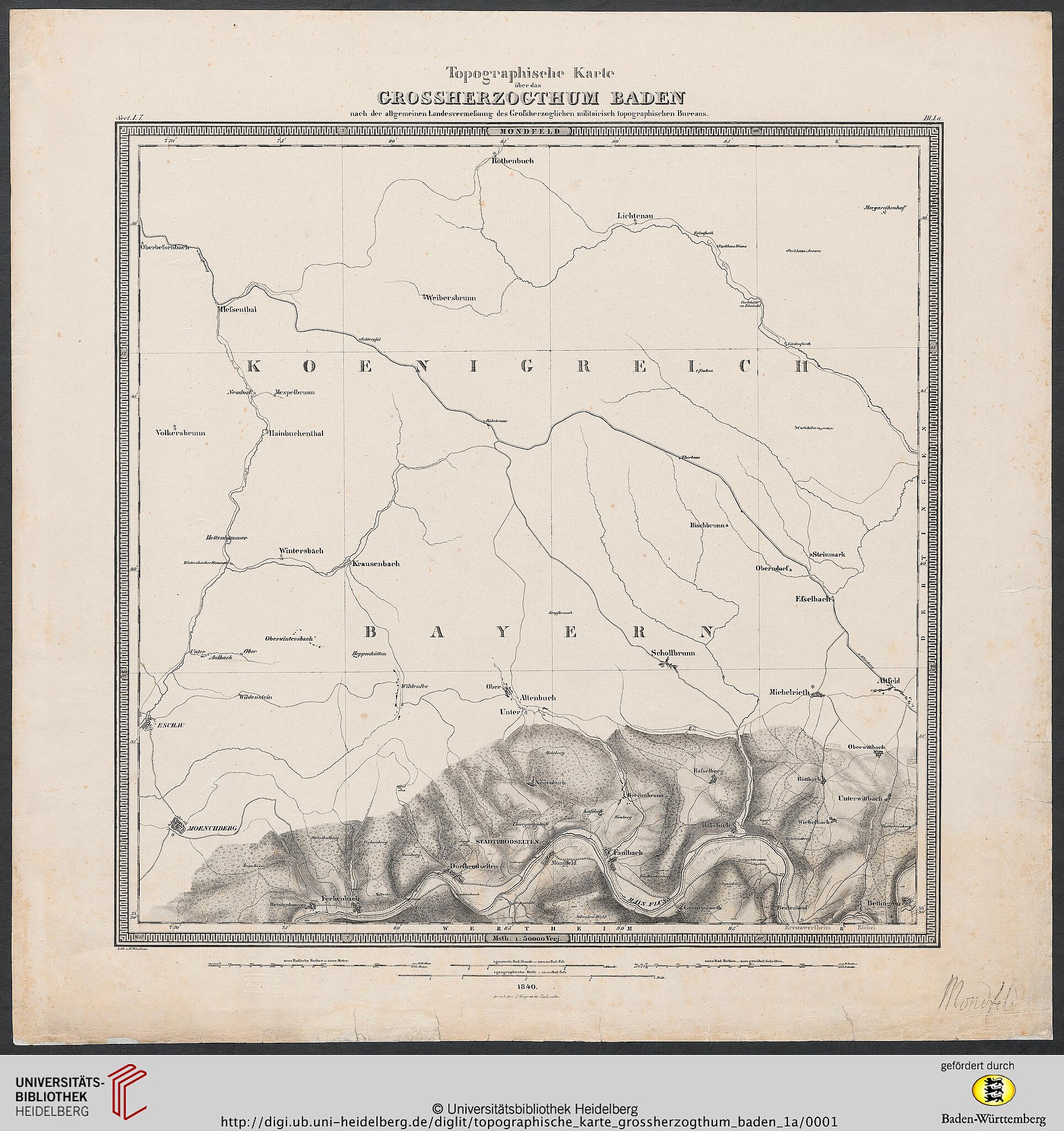
Deutsch: Baden / Topographisches Bureau [Hrsg.]; Winckens, W. [Bearb.]
Topographische Karte über das Grossherzogthum Baden: nach der allgemeinen Landesvermessung des Großherzoglichen militairisch topographischen Bureaus (Blatt 1a): Mondfeld — Karlsruhe, 1840 |
| Date | |
| Source | https://digi.ub.uni-heidelberg.de/diglit/topographische_karte_grossherzogthum_baden_1a/0001/image |
| Author | Baden / Topographisches Bureau [Hrsg.]; Winckens, W. [Bearb.] |
Licensing
[edit]
|
This work is in the public domain in its country of origin and other countries and areas where the copyright term is the author's life plus 70 years or fewer. This work is in the public domain in the United States because it was published (or registered with the U.S. Copyright Office) before January 1, 1929. | |
| This file has been identified as being free of known restrictions under copyright law, including all related and neighboring rights. | |
File history
Click on a date/time to view the file as it appeared at that time.
| Date/Time | Thumbnail | Dimensions | User | Comment | |
|---|---|---|---|---|---|
| current | 06:55, 19 August 2020 | | 2,871 × 3,051 (1.31 MB) | Granpar (talk | contribs) | {{Information |description ={{de|1=Baden / Topographisches Bureau [Hrsg.]; Winckens, W. [Bearb.] Topographische Karte über das Grossherzogthum Baden: nach der allgemeinen Landesvermessung des Großherzoglichen militairisch topographischen Bureaus (Blatt 1a): Mondfeld — Karlsruhe, 1840}} |date =1840 |source =https://digi.ub.uni-heidelberg.de/diglit/topographische_karte_grossherzogthum_baden_1a/0001/image |author =Baden / Topographisches Bureau [Hrsg.]; Winckens, W. [B... |
You cannot overwrite this file.
File usage on Commons
The following 3 pages use this file:
Categories:
- Topographische Karte über das Grossherzogthum Baden (Topographic map of the Grand Duchy of Baden)
- Maps of Mondfeld
- Maps of Bestenheid
- Topographische Karte über das Grossherzogthum Baden (Topographic map of the Grand Duchy of Baden) maps of Main-Tauber-Kreis
- Maps of Bettingen (Wertheim)
- Maps of Grünenwört
- 1840 maps of Wertheim
- Main in Main-Tauber-Kreis in 1840