File:Trzebiatów (gmina) location map.png
Jump to navigation
Jump to search
Size of this preview: 626 × 600 pixels. Other resolutions: 250 × 240 pixels | 501 × 480 pixels | 960 × 920 pixels.
Original file (960 × 920 pixels, file size: 138 KB, MIME type: image/png)
Captions
Captions
Add a one-line explanation of what this file represents
| Description |
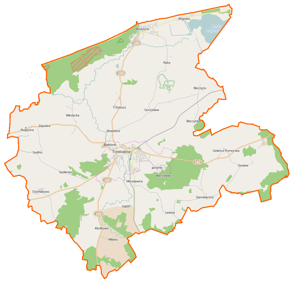
Polski: Mapa gminy Trzebiatów, Polska
English: Map of Gmina Trzebiatów, Poland |
|||||||||
| Date | ||||||||||
| Source | You may find a page on the OpenStreetMap wiki page for Trzebiatów (gmina) | |||||||||
| Creator |
OpenStreetMap contributors OpenStreetMap contributors |
|||||||||
| Permission (Reusing this file) |
OpenStreetMap data is available under the Open Database License (details). Map tiles are licensed under the Creative Commons Attribution-ShareAlike 2.0 license (CC-BY-SA 2.0).
This file is licensed under the Creative Commons Attribution-Share Alike 2.0 Generic license.
|
|||||||||
| Geotemporal data | ||||||||||
| Bounding box |
|
|||||||||
| Georeferencing | If inappropriate please set warp_status = skip to hide. | |||||||||
File history
Click on a date/time to view the file as it appeared at that time.
| Date/Time | Thumbnail | Dimensions | User | Comment | |
|---|---|---|---|---|---|
| current | 08:10, 11 March 2015 | | 960 × 920 (138 KB) | VanWiel (talk | contribs) | {{OpenStreetMap | name = Trzebiatów (gmina) | location = Trzebiatów (gmina) | description = {{pl|Mapa gminy Trzebiatów, Polska}} {{en|Map of Gmina Trzebiatów, Poland}} | top = 54.1622 | bottom =... |
You cannot overwrite this file.
File usage on Commons
There are no pages that use this file.
File usage on other wikis
The following other wikis use this file:
- Usage on fr.wikipedia.org
- Bieczynko
- Bieczyno
- Chełm Gryficki
- Chomętowo (Gryfice)
- Gąbin (Poméranie-Occidentale)
- Gołańcz Pomorska
- Gorzysław (Poméranie-Occidentale)
- Gosław (Gryfice)
- Kłodkowo
- Lewice (Poméranie-Occidentale)
- Mirosławice (Poméranie-Occidentale)
- Nowielice
- Paliczyno
- Roby (Pologne)
- Rogowo (Gryfice)
- Rogozina (Gryfice)
- Sadlenko
- Sadlno (Poméranie-Occidentale)
- Siemidarżno
- Trzebusz
- Wlewo
- Włodarka
- Zapolice (Poméranie-Occidentale)
- Usage on pl.wikipedia.org
- Trzebiatów
- Resko Przymorskie
- Trzebiatów (gmina)
- Mrzeżyno
- Bieczyno
- Gołańcz Pomorska
- Kłodkowo
- Nowielice
- Roby (Polska)
- Rogozina (województwo zachodniopomorskie)
- Siemidarżno
- Trzebusz
- Wlewo
- Włodarka (województwo zachodniopomorskie)
- Gąbin (województwo zachodniopomorskie)
- Gorzysław (województwo zachodniopomorskie)
- Gosław (powiat gryficki)
- Lewice (województwo zachodniopomorskie)
- Mirosławice (województwo zachodniopomorskie)
- Sadlno (województwo zachodniopomorskie)
- Zapolice (województwo zachodniopomorskie)
- Rogowo (powiat gryficki)
- Kaplica Świętego Ducha w Trzebiatowie
- Kaplica św. Gertrudy w Trzebiatowie
- Kaplica św. Jerzego w Trzebiatowie
- Kościół św. Jana w Trzebiatowie
- Kościół Macierzyństwa Najświętszej Marii Panny w Trzebiatowie
View more global usage of this file.
_location_map.png)
_location_map.png&oldid=492101129)