File:Tung Kok Wai 2013 04 27.jpg
Jump to navigation
Jump to search

Size of this preview: 800 × 600 pixels. Other resolutions: 320 × 240 pixels | 640 × 480 pixels | 1,024 × 768 pixels | 1,280 × 960 pixels | 2,272 × 1,704 pixels.
Original file (2,272 × 1,704 pixels, file size: 878 KB, MIME type: image/jpeg)
Captions
Captions
Add a one-line explanation of what this file represents
Summary[edit]
| Description |
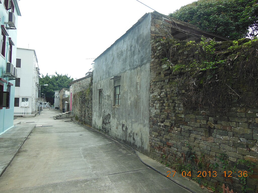
English: 27-4-2013優悠,粉嶺78K到大塘湖, 馬尾下 ,丹竹坑, 公主山118m,新屋仔,丹竹坑, 丹山河, 新塘苗村, 6-7軍地 ,7-8龍馬道,馬料水新村, 8-9,10沙頭角公路, 永寧村, 麻笏文物徑, 祠堂村10, (10-11(麻笏圍), 崇謙基督堂), 安樂公園,粉嶺祥華邨;12km,4Hr,Ave3Km-Hr,3000Kcal,1.8H2o,MaxAlt123m,TotAsc295mTotDes307m,Weather-mostly Cloud |
| Date | |
| Source | https://www.flickr.com/photos/erictse2005/8688204911/ |
| Author | eric |
| Camera location | | View this and other nearby images on: OpenStreetMap |
|---|
Licensing[edit]
This file is licensed under the Creative Commons Attribution 2.0 Generic license.
- You are free:
- to share – to copy, distribute and transmit the work
- to remix – to adapt the work
- Under the following conditions:
- attribution – You must give appropriate credit, provide a link to the license, and indicate if changes were made. You may do so in any reasonable manner, but not in any way that suggests the licensor endorses you or your use.
| This image was originally posted to Flickr by ericcwtse at https://flickr.com/photos/14798958@N08/8688204911 (archive). It was reviewed on 16 February 2020 by FlickreviewR 2 and was confirmed to be licensed under the terms of the cc-by-2.0. |
| Annotations | This image is annotated: View the annotations at Commons |
File history
Click on a date/time to view the file as it appeared at that time.
| Date/Time | Thumbnail | Dimensions | User | Comment | |
|---|---|---|---|---|---|
| current | 16:34, 16 February 2020 | | 2,272 × 1,704 (878 KB) | Underwaterbuffalo (talk | contribs) | User created page with UploadWizard |
You cannot overwrite this file.
File usage on Commons
There are no pages that use this file.
File usage on other wikis
The following other wikis use this file:
- Usage on en.wikipedia.org
- Usage on fr.wikipedia.org