File:Turn to Vuhly in Kromavičy - panoramio.jpg
Jump to navigation
Jump to search

Size of this preview: 800 × 190 pixels. Other resolutions: 320 × 76 pixels | 2,000 × 474 pixels.
Original file (2,000 × 474 pixels, file size: 254 KB, MIME type: image/jpeg)
Captions
Captions
Add a one-line explanation of what this file represents
Summary
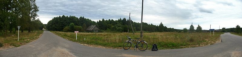
[edit]| Description | Turn to Vuhly in Kromavičy | ||
| Date | 23 August 2010 (original upload date) | ||
| Source | https://web.archive.org/web/20161015112229/http://www.panoramio.com/photo/39722354 | ||
| Author | Andrej Kuźniečyk | ||
| Permission (Reusing this file) |
This file is licensed under the Creative Commons Attribution-Share Alike 3.0 Unported license. Attribution: Andrej Kuźniečyk
|
||
| Tags (from Panoramio photo page) | Belarus, Kromavičy, Vuhly |
| Camera location | | View this and other nearby images on: OpenStreetMap |
|---|

File history
Click on a date/time to view the file as it appeared at that time.
| Date/Time | Thumbnail | Dimensions | User | Comment | |
|---|---|---|---|---|---|
| current | 18:33, 18 December 2016 | 2,000 × 474 (254 KB) | Panoramio upload bot (talk | contribs) | == {{int:filedesc}} == {{Information |description=Turn to Vuhly in Kromavičy |date={{Original upload date|2010-08-23}} |source=http://www.panoramio.com/photo/39722354 |author=[http://www.panoramio.com/user/416171?with_photo_id=39722354 Andrej Kuźnie... |
You cannot overwrite this file.
File usage on Commons
The following page uses this file:
File usage on other wikis
The following other wikis use this file: