File:Tutorial vector topo map 07.jpg
Jump to navigation
Jump to search
Size of this preview: 750 × 600 pixels. Other resolutions: 300 × 240 pixels | 600 × 480 pixels | 960 × 768 pixels | 1,280 × 1,024 pixels.
Original file (1,280 × 1,024 pixels, file size: 172 KB, MIME type: image/jpeg)
Captions
Captions
Add a one-line explanation of what this file represents
Summary
[edit]
| Description |
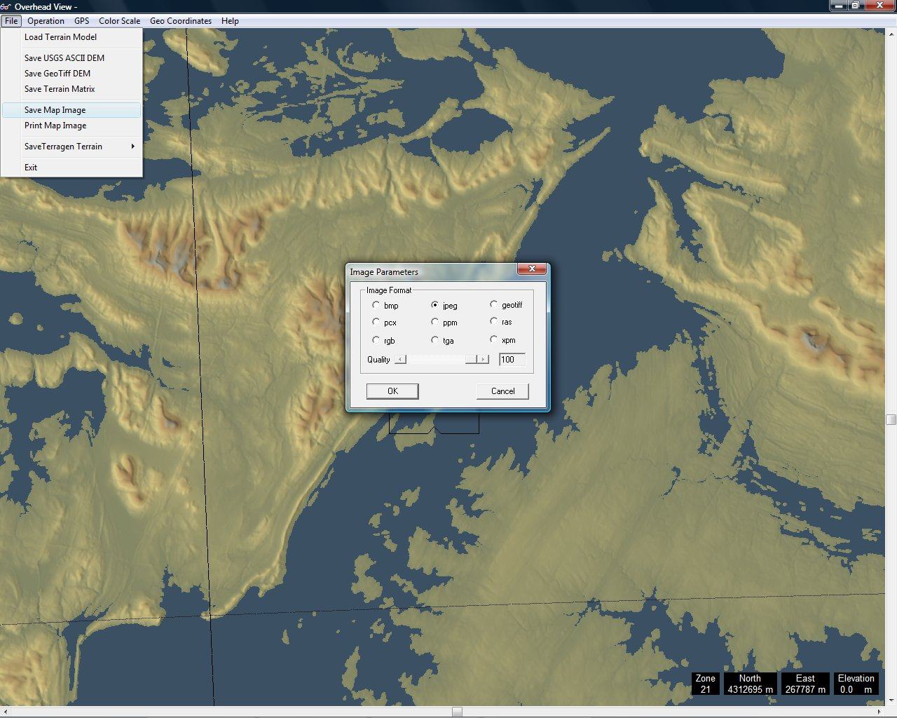
English: Screenshot made for the French speaking Atelier graphique showing a step of a tutorial made to learn how to create a vector topographic map using digital elevation model from the NASA.
Français : Capture d'écran réalisée dans le cadre de l´Atelier graphique montrant une étape d'un didacticiel destiné à apprendre à créer une carte topographique vectorielle à partir de modèles numériques de terrain de la NASA. |
| Date | April 2008 (for this version) |
| Source | self-made – software displayed : GIS editor 3DEM from Visualization Software LCC |
| Author | Eric Gaba (Sting) |
Licensing
[edit]
This file is licensed under the Creative Commons Attribution-Share Alike 3.0 Unported license.
- You are free:
- to share – to copy, distribute and transmit the work
- to remix – to adapt the work
- Under the following conditions:
- attribution – You must give appropriate credit, provide a link to the license, and indicate if changes were made. You may do so in any reasonable manner, but not in any way that suggests the licensor endorses you or your use.
- share alike – If you remix, transform, or build upon the material, you must distribute your contributions under the same or compatible license as the original.
File history
Click on a date/time to view the file as it appeared at that time.
| Date/Time | Thumbnail | Dimensions | User | Comment | |
|---|---|---|---|---|---|
| current | 04:01, 26 April 2008 | | 1,280 × 1,024 (172 KB) | Sting (talk | contribs) | New tutorial version -> new screenshot |
| 19:20, 11 May 2007 |  | 1,280 × 1,024 (146 KB) | Sting (talk | contribs) | {{Information |Description= Screenshot made for the French speaking ''Atelier graphique'' showing a step of a tutorial made to learn how to create a vector topographic map using [[:en:digital elevation model|digital el |
You cannot overwrite this file.
File usage on Commons
There are no pages that use this file.
File usage on other wikis
The following other wikis use this file:
- Usage on en.wikipedia.org
- Usage on fr.wikipedia.org
- Usage on tg.wikipedia.org