File:U.S. Coast and Geodetic Survey, 1946 (15328004).jpg
Jump to navigation
Jump to search

Size of this preview: 800 × 544 pixels. Other resolutions: 320 × 217 pixels | 640 × 435 pixels | 1,024 × 696 pixels | 1,280 × 870 pixels | 2,560 × 1,740 pixels | 28,888 × 19,632 pixels.
Original file (28,888 × 19,632 pixels, file size: 98.74 MB, MIME type: image/jpeg)
Captions
Captions
Add a one-line explanation of what this file represents
Summary
[edit].jpg&action=edit§ion=1)
| Description |
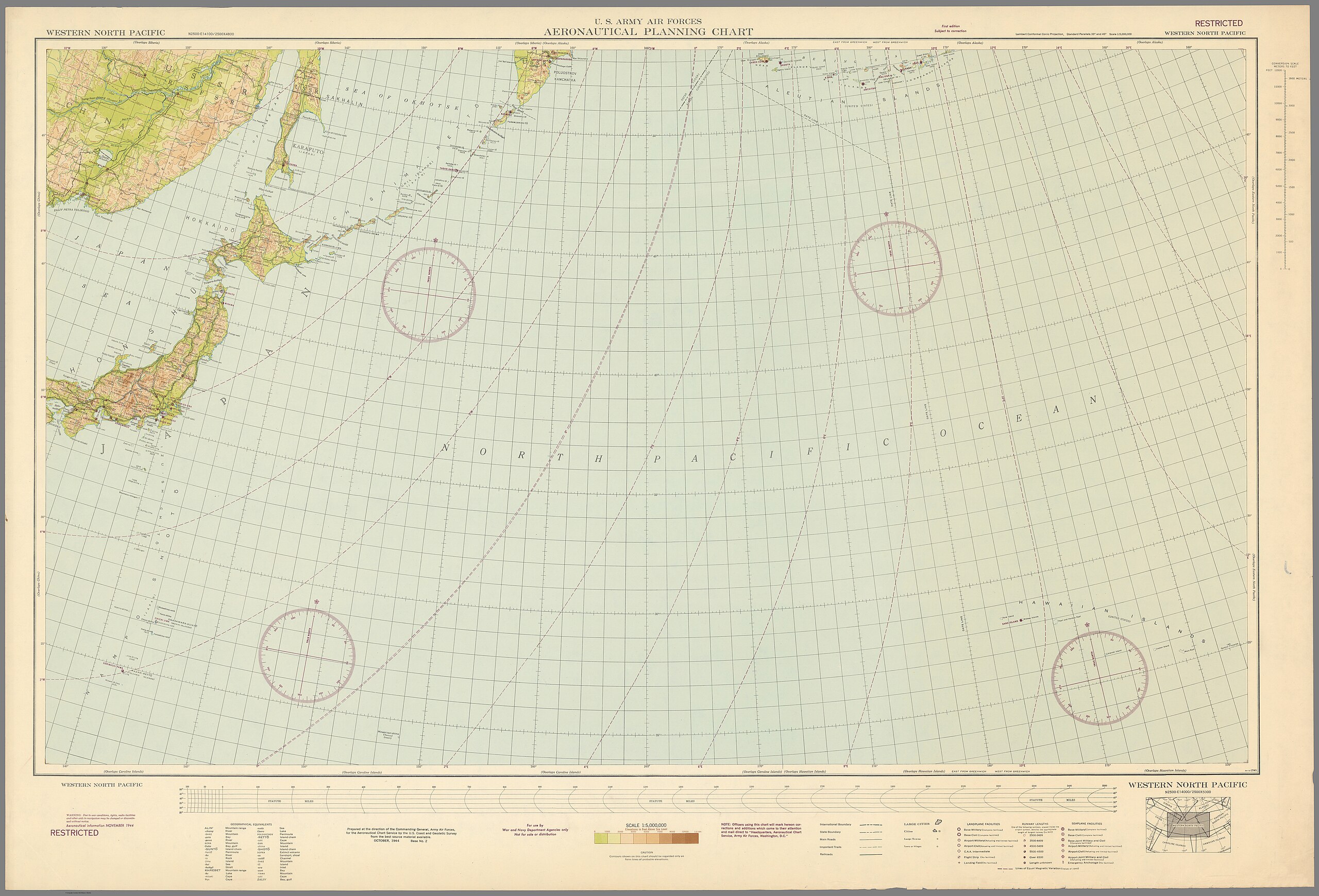
English: U.S. Coast and Geodetic Survey. A complete group of 43 aeronautical chart maps covering the entire world during World War II. A detailed source of information on location of civilian and military airports and related activities. Maps date from 1943 to 1946. Shows geographic features, elevation with color scale, seaplane and landplane bases, military and civilian airfields, limited landing strips, large cities, towns, villages, international boundaries state boundaries, main roads, important trails, railroads, canals, etc.
Français : U.S. Coast and Geodetic Survey. A complete group of 43 aeronautical chart maps covering the entire world during World War II. A detailed source of information on location of civilian and military airports and related activities. Maps date from 1943 to 1946. Shows geographic features, elevation with color scale, seaplane and landplane bases, military and civilian airfields, limited landing strips, large cities, towns, villages, international boundaries state boundaries, main roads, important trails, railroads, canals, etc. |
| Date | |
| Source | list, main |
| Author | U.S. National Oceanic and Atmospheric Administration |
Licensing
[edit].jpg&action=edit§ion=2)
|
This is a faithful photographic reproduction of a two-dimensional, public domain work of art. The work of art itself is in the public domain for the following reason:
The official position taken by the Wikimedia Foundation is that "faithful reproductions of two-dimensional public domain works of art are public domain".
This photographic reproduction is therefore also considered to be in the public domain in the United States. In other jurisdictions, re-use of this content may be restricted; see Reuse of PD-Art photographs for details. |
File history
Click on a date/time to view the file as it appeared at that time.
| Date/Time | Thumbnail | Dimensions | User | Comment | |
|---|---|---|---|---|---|
| current | 13:45, 2 August 2023 | | 28,888 × 19,632 (98.74 MB) | YannBot (talk | contribs) | == {{int:filedesc}} == {{Information |Description={{en|1=''U.S. Coast and Geodetic Survey.'' A complete group of 43 aeronautical chart maps covering the entire world during World War II. A detailed source of information on location of civilian and military airports and related activities. Maps date from 1943 to 1946. Shows geographic features, elevation with color scale, seaplane and landplane bases, military and civilian airfields, limited landing strips, large cities, towns, villages, inter... |
You cannot overwrite this file.
File usage on Commons
There are no pages that use this file.
.jpg&oldid=911226683)