File:U.S. Route 59 Between Beeville and Goliad, Texas (15642466363).jpg
Original file (4,000 × 3,000 pixels, file size: 2.96 MB, MIME type: image/jpeg)
Captions
Captions
Summary
[edit].jpg&action=edit§ion=1)
| Description |
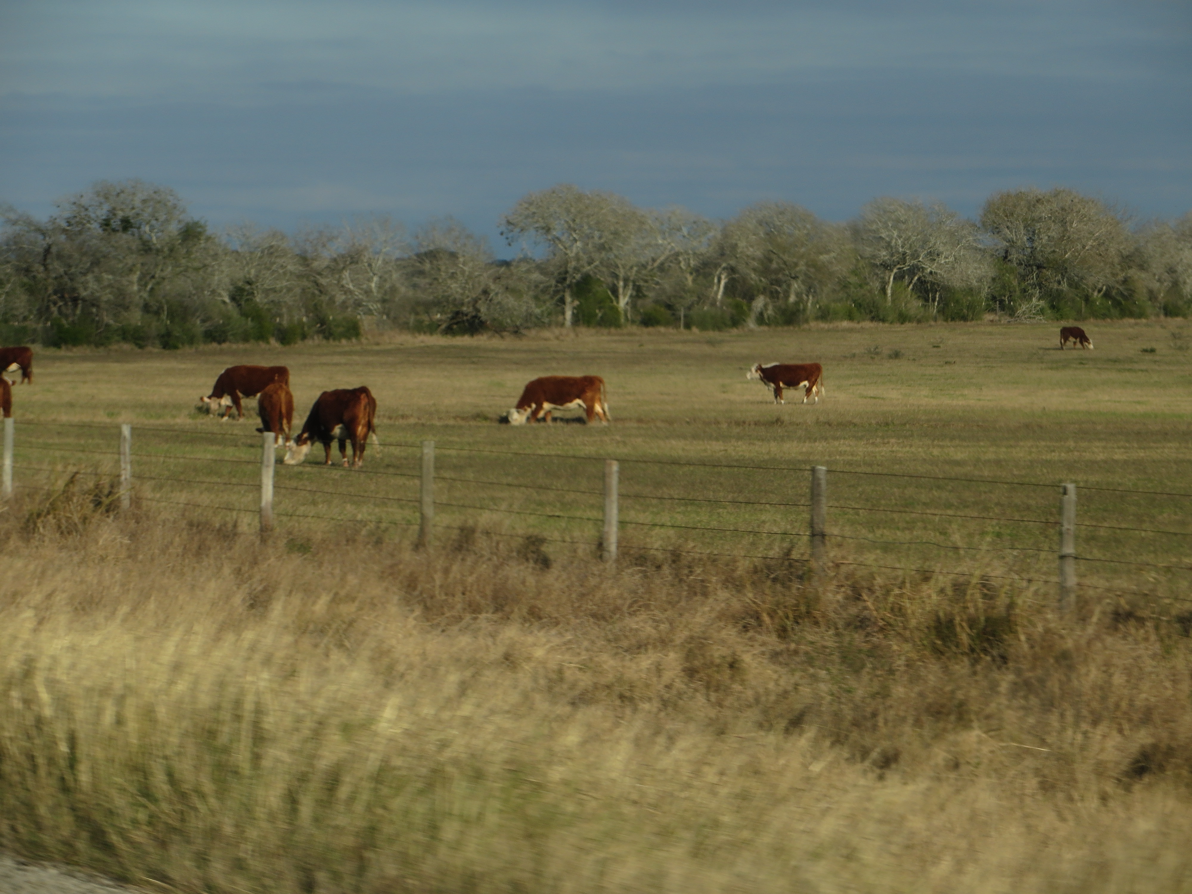
U.S. Highway 59 (US 59) in the U.S. state of Texas is named the Lloyd Bentsen Highway, after Lloyd Bentsen, former U.S. senator from Texas. In northern Houston, US 59, co-signed with Interstate 69 (I-69), is the Eastex Freeway (from Downtown Houston to Humble). To the south, which is also co-signed with I-69, it is the Southwest Freeway (from Rosenberg to Downtown Houston), which is one of the busiest sections of freeway in the United States with a vehicle count, as of 2006, of over 330,000 vehicles per day just outside the Loop. US 59 (overlapped by US 71) actually straddles the border between Texas and Arkansas north of I-30 near Texarkana, with the east side of the highway on the Arkansas side and the west side of the highway on the Texas side. In the past, both highways remained on the border past I-30 as State Line Avenue to downtown Texarkana; today, only US 71 does so. Nearly 90 percent of this route is designated to become part of I-69 in the future. Currently 75-mile-per-hour (121 km/h) speed limits are allowed on US 59 in Duval County and portions of northern Polk County. The total length of the southernmost segment of US 59 that passes through Texas and terminates at the Mexican border is 615 miles (990 km). From I-37, US 59 heads northeast passing through Beeville. US 59 bypasses Victoria to the south, and becomes a divided highway, and has a series of interchanges, until it becomes a freeway south of Houston in Rosenberg and resumes the designation of I-69 until reaching I-610 West. Between Houston and Victoria, US 59 passes through Edna, El Campo, and Wharton. US 59 intersects many major Texas highways in Houston, including I-10 (which goes to San Antonio and Beaumont) and I-45 (which goes to Dallas and Galveston). Future I-69 inside Loop 610 through Downtown Houston has been submitted for designation and is awaiting approval. <a href="http://en.wikipedia.org/wiki/U.S._Route_59_in_Texas" rel="nofollow">en.wikipedia.org/wiki/U.S._Route_59_in_Texas</a> <a href="http://en.wikipedia.org/wiki/Wikipedia:Text_of_Creative_Commons_Attribution-ShareAlike_3.0_Unported_License" rel="nofollow">en.wikipedia.org/wiki/Wikipedia:Text_of_Creative_Commons_...</a> |
| Date | |
| Source | U.S. Route 59 Between Beeville and Goliad, Texas |
| Author | Ken Lund from Reno, Nevada, USA |
| Camera location | | View this and other nearby images on: OpenStreetMap |
|---|
.jpg¶ms=028.580186_N_-097.522056_E_globe:Earth_type:camera_source:Flickr_&language=en)
Licensing
[edit].jpg&action=edit§ion=2)
- You are free:
- to share – to copy, distribute and transmit the work
- to remix – to adapt the work
- Under the following conditions:
- attribution – You must give appropriate credit, provide a link to the license, and indicate if changes were made. You may do so in any reasonable manner, but not in any way that suggests the licensor endorses you or your use.
- share alike – If you remix, transform, or build upon the material, you must distribute your contributions under the same or compatible license as the original.
| This image was originally posted to Flickr by Ken Lund at https://flickr.com/photos/75683070@N00/15642466363. It was reviewed on 26 May 2022 by FlickreviewR 2 and was confirmed to be licensed under the terms of the cc-by-sa-2.0. |
File history
Click on a date/time to view the file as it appeared at that time.
| Date/Time | Thumbnail | Dimensions | User | Comment | |
|---|---|---|---|---|---|
| current | 09:37, 26 May 2022 | | 4,000 × 3,000 (2.96 MB) | SecretName101 (talk | contribs) | Transferred from Flickr via #flickr2commons |
You cannot overwrite this file.
File usage on Commons
There are no pages that use this file.
.jpg&oldid=659011367)