File:U.S. Washington location map.svg
跳至導覽
跳至搜尋

此 SVG 檔案的 PNG 預覽的大小:800 × 563 像素。 其他解析度:320 × 225 像素 | 640 × 451 像素 | 1,024 × 721 像素 | 1,280 × 901 像素 | 2,560 × 1,803 像素 | 1,501 × 1,057 像素。
原始檔案 (SVG 檔案,表面大小:1,501 × 1,057 像素,檔案大小:561 KB)
說明
說明
添加單行說明來描述出檔案所代表的內容
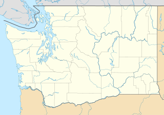
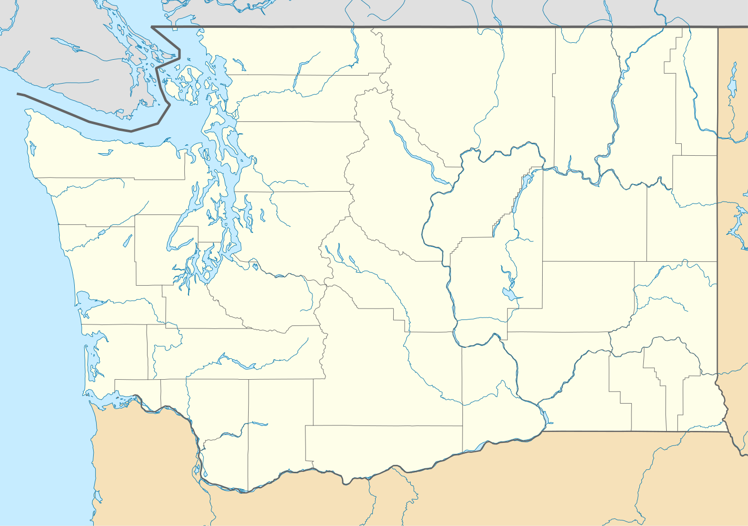
Picture of Washington with lines marking out the borders of each country.
Waller-Sean city-Clover Creek,WA
摘要
[編輯]| 描述 |
Quadratische Plattkarte, N-S-Streckung 150.0 %. Geographische Begrenzung der Karte:
Equirectangular projection, N/S stretching 150.0 %. Geographic limits of the map:
|
| 日期 | |
| 來源 | 自己的作品 |
| 作者 | Alexrk2 |
| 其他版本 |
Derivative works of this file: FirstCitizensBancShares footprint.png Derivative works of this file:
|


|
|
授權條款
[編輯]
我,本作品的著作權持有者,決定用以下授權條款發佈本作品:

|
已授權您依據自由軟體基金會發行的無固定段落、封面文字和封底文字GNU自由文件授權條款1.2版或任意後續版本,對本檔進行複製、傳播和/或修改。該協議的副本列在GNU自由文件授權條款中。 |
此檔案採用創用CC 姓名標示 3.0 未在地化版本授權條款。
- 您可以自由:
- 分享 – 複製、發佈和傳播本作品
- 重新修改 – 創作演繹作品
- 惟需遵照下列條件:
- 姓名標示 – 您必須指名出正確的製作者,和提供授權條款的連結,以及表示是否有對內容上做出變更。您可以用任何合理的方式來行動,但不得以任何方式表明授權條款是對您許可或是由您所使用。
您可以選擇您需要的授權條款。
檔案歷史
點選日期/時間以檢視該時間的檔案版本。
| 日期/時間 | 縮圖 | 尺寸 | 用戶 | 備註 | |
|---|---|---|---|---|---|
| 目前 | 2009年10月2日 (五) 16:20 | | 1,501 × 1,057(561 KB) | Alexrk2(對話 | 貢獻) | == Beschreibung == {{Information |Description= {{de|Positionskarte von Washington, USA}} Quadratische Plattkarte, N-S-Streckung 150.0 %. Geographische Begrenzung der Karte: * N: 49.2° N * S: 45.3° N * W: 125.0° W * O: 116 |
無法覆蓋此檔案。
檔案用途
下列24個頁面有用到此檔案:
- File:Costco footprint map USA 2021-01.png
- File:Dollar Tree footprint map 2020-12.png
- File:Family Dollar footprint map 2020-12.png
- File:FirstCitizensBancShares footprint.png
- File:Speedway Footprint 2020 August.png
- File:Speedway Jun2018 to Aug2020 comparison.png
- File:Target stores footprint 2020-12.png
- File:USA Washington location map.svg (檔案重新導向)
- File:FirstCitizensBancShares footprint.png
- File:USA Washington relief location map.jpg
- File:Speedway Footprint 2020 August.png
- File:Speedway Jun2018 to Aug2020 comparison.png
- File:Target stores footprint 2020-12.png
- File:Valero brands branded gas stations 2020-12.png
- File:Dollar Tree footprint map 2020-12.png
- File:Family Dollar footprint map 2020-12.png
- File:Walmart locations with on-site fuel stations map 2020-20.png
- File:Walmart branded fuel stations map 2020-12.png
- File:Costco footprint map USA 2021-01.png
- File:USA Washington relief location map.jpg
- File:Valero brands branded gas stations 2020-12.png
- File:Walmart branded fuel stations map 2020-12.png
- File:Walmart locations with on-site fuel stations map 2020-20.png
- Category:Bank of America Fifth Avenue Plaza
全域檔案使用狀況
以下其他 wiki 使用了這個檔案:
- af.wikipedia.org 的使用狀況
- an.wikipedia.org 的使用狀況
- ar.wikipedia.org 的使用狀況
- ast.wikipedia.org 的使用狀況
- azb.wikipedia.org 的使用狀況
- بلینقهام، واشینقتون
- اولمپیا، واشینقتون
- پریری هایتس، واشینقتون
- استنزبری لیک، واشینقتون
- باتل ایست، واشینقتون
- ویلاپا، واشینقتون
- چلن فالز، واشینقتون
- بارنیز جانکشن، واشینقتون
- سامیت ویو، واشینقتون
- توربوی، واشینقتون
- بویدز، واشینقتون
- دنویل، واشینقتون
- ریدروود، واشینقتون
- اسکاموکاوا ولی، واشینقتون
- واونا، واشینقتون
- بلفیر، واشینقتون
- هوداسپورت، واشینقتون
- بتل، واشینقتون
- لاپوش، واشینقتون
- کلیفدل، واشینقتون
- انتای، واشینقتون
- ساندی لیک، واشینقتون
- کاپوسین، واشینقتون
- نایل، واشینقتون
- روزبرق، واشینقتون
- کووچی، واشینقتون
- تامپیکو، واشینقتون
- هنسویل، واشینقتون
- آوتلوک، واشینقتون
- مالو، واشینقتون
- لوفال، واشینقتون
- سکیو، واشینقتون
- مکمیلین، واشینقتون
- کولرو، واشینقتون
- بولوارد پارک، واشینقتون
- پارکر، واشینقتون
- کراکر، واشینقتون
- دونالد، واشینقتون
- واکاندا، واشینقتون
- چیکو، واشینقتون
檢視此檔案的更多全域使用狀況。