File:UNDOF deployment September 2014.png

Original file (2,000 × 2,588 pixels, file size: 1.12 MB, MIME type: image/png)
Captions
Captions
| Description |
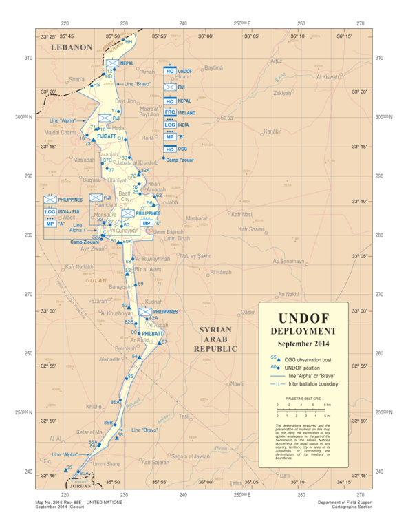
English: UNDOF deployment. Map No. 2916 Rev. 85E; UNITED NATIONS; September 2014; (Colour) |
|||
| Date | ||||
| Source | http://www.un.org/Depts/Cartographic/map/dpko/undof.pdf | |||
| Author | Department of Field Support Cartographic Section, United Nations | |||
| Permission (Reusing this file) |
|
|||
| Other versions |
File:UNDOF deployment September 2014.svg, File:UNDOF DEPLOYMENT 2010.jpg |


File history
Click on a date/time to view the file as it appeared at that time.
| Date/Time | Thumbnail | Dimensions | User | Comment | |
|---|---|---|---|---|---|
| current | 21:21, 21 September 2014 | | 2,000 × 2,588 (1.12 MB) | ChrisRuvolo (talk | contribs) | {{Information |Description ={{en|1=UNDOF deployment. Map No. 2916 Rev. 85E; UNITED NATIONS; September 2014; (Colour)}} |Source =http://www.un.org/Depts/Cartographic/map/dpko/undof.pdf |Author =Department of Field Support Cartographic... |
You cannot overwrite this file.
File usage on Commons
The following page uses this file: