File:UN TRAMWAY À TORONTO.jpg
Jump to navigation
Jump to search

Size of this preview: 800 × 600 pixels. Other resolutions: 320 × 240 pixels | 640 × 480 pixels | 1,024 × 768 pixels | 1,280 × 960 pixels | 2,560 × 1,920 pixels | 4,160 × 3,120 pixels.
Original file (4,160 × 3,120 pixels, file size: 2.04 MB, MIME type: image/jpeg)
Captions
Captions
Add a one-line explanation of what this file represents
Summary[edit]
| Description |
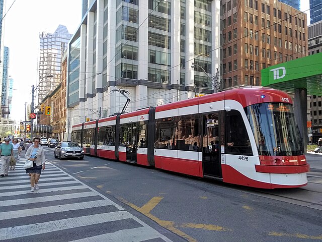
Français : Le réseau des tramways, dont la construction date, pour sa majeure partie, du XIXe siècle, est principalement concentré dans les quartiers centraux de la ville, ainsi que sur les rives du lac Ontario. |
| Date | |
| Source | https://www.flickr.com/photos/marsupilami92/52243346267/ |
| Author | patrick janicek |
| Camera location | | View this and other nearby images on: OpenStreetMap |
|---|
Licensing[edit]
This file is licensed under the Creative Commons Attribution 2.0 Generic license.
- You are free:
- to share – to copy, distribute and transmit the work
- to remix – to adapt the work
- Under the following conditions:
- attribution – You must give appropriate credit, provide a link to the license, and indicate if changes were made. You may do so in any reasonable manner, but not in any way that suggests the licensor endorses you or your use.
| This image was originally posted to Flickr by marsupilami92 at https://flickr.com/photos/41538865@N06/52243346267. It was reviewed on 17 July 2023 by FlickreviewR 2 and was confirmed to be licensed under the terms of the cc-by-2.0. |
File history
Click on a date/time to view the file as it appeared at that time.
| Date/Time | Thumbnail | Dimensions | User | Comment | |
|---|---|---|---|---|---|
| current | 23:44, 17 July 2023 | | 4,160 × 3,120 (2.04 MB) | Oaktree b (talk | contribs) | Uploaded a work by patrick janicek from https://www.flickr.com/photos/marsupilami92/52243346267/ with UploadWizard |
You cannot overwrite this file.
File usage on Commons
The following page uses this file:
File usage on other wikis
The following other wikis use this file:
- Usage on en.wikipedia.org
- Usage on es.wikipedia.org