File:USA Wyoming relief location map.svg
Jump to navigation
Jump to search

Size of this PNG preview of this SVG file: 721 × 600 pixels. Other resolutions: 289 × 240 pixels | 577 × 480 pixels | 923 × 768 pixels | 1,231 × 1,024 pixels | 2,462 × 2,048 pixels | 1,500 × 1,248 pixels.
Original file (SVG file, nominally 1,500 × 1,248 pixels, file size: 4.33 MB)
Captions
Captions
Add a one-line explanation of what this file represents
Summary[edit]
| Description | |
| Date | |
| Source |
Own work
|
| Author | ikonact |
Licensing[edit]
I, the copyright holder of this work, hereby publish it under the following license:
This file is licensed under the Creative Commons Attribution-Share Alike 4.0 International license.
- You are free:
- to share – to copy, distribute and transmit the work
- to remix – to adapt the work
- Under the following conditions:
- attribution – You must give appropriate credit, provide a link to the license, and indicate if changes were made. You may do so in any reasonable manner, but not in any way that suggests the licensor endorses you or your use.
- share alike – If you remix, transform, or build upon the material, you must distribute your contributions under the same or compatible license as the original.
File history
Click on a date/time to view the file as it appeared at that time.
| Date/Time | Thumbnail | Dimensions | User | Comment | |
|---|---|---|---|---|---|
| current | 14:53, 4 February 2022 | | 1,500 × 1,248 (4.33 MB) | Ikonact (talk | contribs) | desc // Editing SVG source code using c:User:Rillke/SVGedit.js |
| 14:52, 4 February 2022 |  | 1,500 × 1,248 (4.33 MB) | Ikonact (talk | contribs) | desc & title modification // Editing SVG source code using c:User:Rillke/SVGedit.js | |
| 14:50, 4 February 2022 |  | 1,500 × 1,248 (4.33 MB) | Ikonact (talk | contribs) | +desc // Editing SVG source code using c:User:Rillke/SVGedit.js | |
| 14:47, 4 February 2022 |  | 1,500 × 1,248 (4.33 MB) | Ikonact (talk | contribs) | + title // Editing SVG source code using c:User:Rillke/SVGedit.js | |
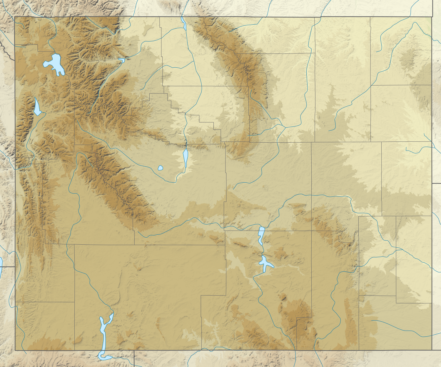
| 08:31, 4 February 2022 |  | 1,500 × 1,248 (4.33 MB) | Ikonact (talk | contribs) | =={{int:filedesc}}== {{Information |description={{en|1=Relief location map of {{W|Wyoming}}, {{W|USA}} Geographic limits of the map: * N: 45.2° N * S: 40.8° N * W: 111.3° W * E: 103.9° W}} |date=2022-02-04 |source={{own}} *Based on File:USA Wyoming location map.svg *Public domain SRTM3 |author=ikonact |permission= |other versions= }} =={{int:license-header}}== {{self|cc-by-sa-4.0}} Category:Location maps of Wyoming |
You cannot overwrite this file.
File usage on Commons
There are no pages that use this file.
File usage on other wikis
The following other wikis use this file:
- Usage on de.wikipedia.org
- Grand Canyon of the Yellowstone
- Upper Falls
- Lower Falls
- Hayden Valley
- Mount Washburn
- Crystal Falls
- Eagle Peak (Park County)
- Oberes Geysir-Becken
- Jackson Hole
- Gibbon-Fälle
- Jackson Lake
- Jenny Lake
- Vorlage:Positionskarte USA Wyoming
- Lewis Lake
- Buffalo Bill Dam
- Shoshone Lake
- Lake DeSmet
- Bear River State Park
- Mount Moran
- Boysen State Park
- Hot Springs State Park
- Glendo State Park
- Laramie Peak
- Heart Lake (Wyoming)
- Sinks Canyon State Park
- Buffalo Bill State Park
- Curt Gowdy State Park
- Gannett Peak
- Edness K. Wilkins State Park
- Wyoming Hereford Ranch Reservoir Number 1
- Wyoming Hereford Ranch Reservoir Number 2
- Packer Lake (Wyoming)
- Cirque of the Towers
- Mount Sheridan
- KKPL
- Hawk Springs State Recreation Area
- Keyhole State Park
- Seminoe State Park
- Mount Everts
- Two Ocean Lake
- Grand Teton
- Cedar Mountain (Wyoming)
- Mount Schurz
- Lamar Valley
- KWRR
- KUWA
- Breccia Peak (Wyoming)
- Buck Mountain (Wyoming)
- Union Peak (Wyoming)
- Whiskey Mountain
View more global usage of this file.