File:USA Chicago Loop location map.svg
Jump to navigation
Jump to search

Size of this PNG preview of this SVG file: 800 × 552 pixels. Other resolutions: 320 × 221 pixels | 640 × 442 pixels | 1,024 × 707 pixels | 1,280 × 884 pixels | 2,560 × 1,767 pixels | 917 × 633 pixels.
Original file (SVG file, nominally 917 × 633 pixels, file size: 305 KB)
Captions
Captions
Add a one-line explanation of what this file represents
Summary[edit]
| Description |
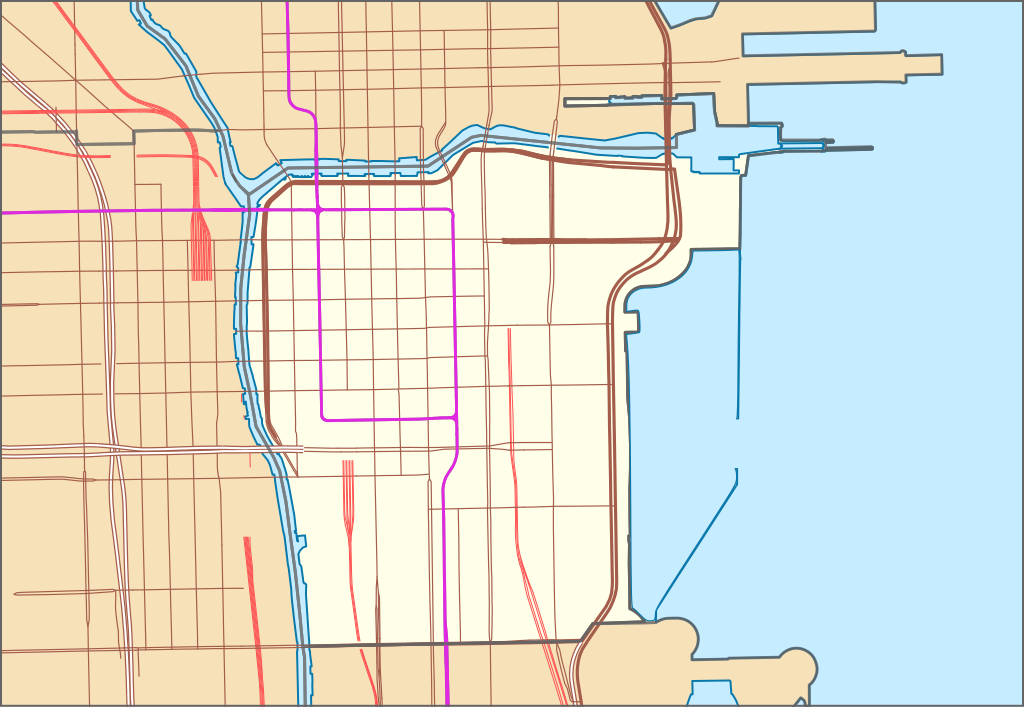
Geographische Begrenzung der Karte:
Geographic limits of the map:
|
| Date | |
| Source |
|
| Author | Pechristener |
| Permission (Reusing this file) |
All OpenStreetMap data and maps are Creative Commons "CC-BY-SA 2.0" licensed |
Licensing[edit]
I, the copyright holder of this work, hereby publish it under the following licenses:

|
Permission is granted to copy, distribute and/or modify this document under the terms of the GNU Free Documentation License, Version 1.2 or any later version published by the Free Software Foundation; with no Invariant Sections, no Front-Cover Texts, and no Back-Cover Texts. A copy of the license is included in the section entitled GNU Free Documentation License. |
This file is licensed under the Creative Commons Attribution 3.0 Unported license.
- You are free:
- to share – to copy, distribute and transmit the work
- to remix – to adapt the work
- Under the following conditions:
- attribution – You must give appropriate credit, provide a link to the license, and indicate if changes were made. You may do so in any reasonable manner, but not in any way that suggests the licensor endorses you or your use.
You may select the license of your choice.
File history
Click on a date/time to view the file as it appeared at that time.
| Date/Time | Thumbnail | Dimensions | User | Comment | |
|---|---|---|---|---|---|
| current | 19:37, 10 March 2021 | | 917 × 633 (305 KB) | Pechristener (talk | contribs) | == {{int:filedesc}} == {{Information |Description= {{de|Positionskarte von Chicago Loop, USA}} Geographische Begrenzung der Karte: * N: 41.894617° N * S: 41.864744° N * W: 87.651766° W * O: 87.594097° W {{en|Location map of Chicago Loop, USA}} Geographic limits of the map: * N: 41.894617° N * S: 41.864744° N * W: 87.651766° W * O: 87.594097° W |Source= * [http://www.openstreetmap.org Openstreetmap] data |Date=2021-03-10 |Autho... |
You cannot overwrite this file.
File usage on Commons
There are no pages that use this file.
File usage on other wikis
The following other wikis use this file:
- Usage on de.wikipedia.org
- Tribune Tower
- Masonic Temple (Chicago)
- AT&T Corporate Center
- Adler-Planetarium
- Chicago Spire
- Trump International Hotel and Tower (Chicago)
- Lake Point Tower
- OneEleven
- Legacy Tower
- One Prudential Plaza
- 330 North Wabash
- One Museum Park
- Grant Thornton Tower
- 77 West Wacker Drive
- 340 on the Park
- Fort Dearborn
- 181 West Madison Street
- Navy Pier
- Crain Communications Building
- CNA Center
- The St. Regis Chicago
- One Bennett Park
- Manhattan Building (Illinois)
- DuSable Bridge
- Chicago Building
- Chicago Theatre
- Dearborn Station
- Mather Tower
- Benutzer:M-hue/Jewelers' Building (35 East Wacker)
- Vorlage:Positionskarte USA Chicago Loop
- Wikipedia:Kartenwerkstatt/Archiv/2021-03
- Liste der längsten Klappbrücken