File:USA MA Cape Cod Barnstable County.svg
Jump to navigation
Jump to search

Size of this PNG preview of this SVG file: 280 × 210 pixels. Other resolutions: 320 × 240 pixels | 640 × 480 pixels | 1,024 × 768 pixels | 1,280 × 960 pixels | 2,560 × 1,920 pixels.
Original file (SVG file, nominally 280 × 210 pixels, file size: 37 KB)
Captions
Captions
Add a one-line explanation of what this file represents
Summary
[edit]| Description |
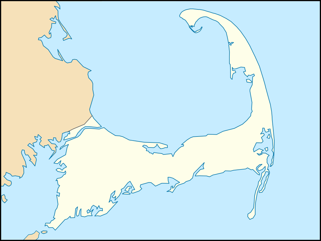
English: SVG map of Cape Cod (Barnstable County), Massachusetts. Equirectangular projection, N/S stretching 130.0 %. Geographic limits of the map:
|
| Date | |
| Source | Own work |
| Author | Grolltech |
| Other versions |
This file was derived from: USA Massachusetts location map.svg:
|

Licensing
[edit]
I, the copyright holder of this work, hereby publish it under the following license:
This file is licensed under the Creative Commons Attribution-Share Alike 3.0 Unported license.
- You are free:
- to share – to copy, distribute and transmit the work
- to remix – to adapt the work
- Under the following conditions:
- attribution – You must give appropriate credit, provide a link to the license, and indicate if changes were made. You may do so in any reasonable manner, but not in any way that suggests the licensor endorses you or your use.
- share alike – If you remix, transform, or build upon the material, you must distribute your contributions under the same or compatible license as the original.
File history
Click on a date/time to view the file as it appeared at that time.
| Date/Time | Thumbnail | Dimensions | User | Comment | |
|---|---|---|---|---|---|
| current | 14:14, 12 May 2012 | | 280 × 210 (37 KB) | Grolltech (talk | contribs) | {{Information |Description ={{en|1=SVG map of Cape Cod (Barnstable County), Massachusetts. Equirectangular projection, N/S stretching 130.0 %. Geographic limits of the map: Northern boundary: 42.10° N Southern boundary: 41.49° N Western boundar... |
You cannot overwrite this file.
File usage on Commons
The following page uses this file: