File:USA Maine location map.svg
Salta a la navegació
Salta a la cerca

Mida d'aquesta previsualització PNG del fitxer SVG: 393 × 599 píxels. Altres resolucions: 157 × 240 píxels | 315 × 480 píxels | 504 × 768 píxels | 672 × 1.024 píxels | 1.343 × 2.048 píxels | 820 × 1.250 píxels.
Fitxer original (fitxer SVG, nominalment 820 × 1.250 píxels, mida del fitxer: 606 Ko)
Llegendes
Llegendes
Afegeix una explicació d'una línia del que representa aquest fitxer
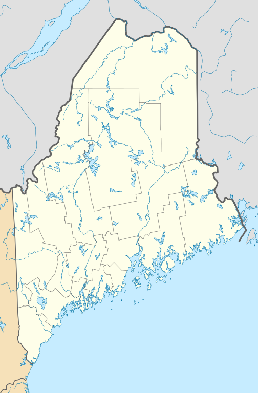
Location map of Maine, USA
Resum
[modifica]
| Descripció |
Quadratische Plattkarte, N-S-Streckung 140.0 %. Geographische Begrenzung der Karte:
Equirectangular projection, N/S stretching 140.0 %. Geographic limits of the map:
|
| Data | |
| Font | Treball propi |
| Autor | Alexrk2 |
| Altres versions |
Derivative works of this file: |

|
This map has been made or improved in the German Kartenwerkstatt (Map Lab). You can propose maps to improve as well.
|
Llicència
[modifica]
Jo, el titular dels drets d'autor d'aquest treball, el public sota les següents llicències:

|
S'autoritza la còpia, la distribució i la modificació d'aquest document sota els termes de la llicència de documentació lliure GNU versió 1.2 o qualsevol altra versió posterior que publiqui la Free Software Foundation; sense seccions invariants, ni textos de portada, ni textos de contraportada. S'inclou una còpia d'aquesta llicència en la secció titulada GNU Free Documentation License. |
Aquest fitxer està subjecte a la llicència de Creative Commons Reconeixement 3.0 No adaptada.
- Sou lliure de:
- compartir – copiar, distribuir i comunicar públicament l'obra
- adaptar – fer-ne obres derivades
- Amb les condicions següents:
- reconeixement – Heu de donar la informació adequada sobre l'autor, proporcionar un enllaç a la llicència i indicar si s'han realitzat canvis. Podeu fer-ho amb qualsevol mitjà raonable, però de cap manera no suggereixi que l'autor us dóna suport o aprova l'ús que en feu.
Podeu seleccionar la llicència que vulgueu.
Historial del fitxer
Cliqueu una data/hora per veure el fitxer tal com era aleshores.
| Data/hora | Miniatura | Dimensions | Usuari/a | Comentari | |
|---|---|---|---|---|---|
| actual | 15:53, 26 juny 2009 | | 820 × 1.250 (606 Ko) | Alexrk2 (discussió | contribucions) | == Beschreibung == {{Information |Description= {{de|Positionskarte von Maine, USA}} Quadratische Plattkarte, N-S-Streckung 140.0 %. Geographische Begrenzung der Karte: * N: 47.7° N * S: 42.7° N * W: 71.3° W * O: 66.7° W {{en| |
No podeu sobreescriure aquest fitxer.
Ús del fitxer
Les 15 pàgines següents utilitzen aquest fitxer:
- File:BJ's Gas Station locations 2020 December.png
- File:BJ's store locations.png
- File:BJ's store locations 2020 December.png
- File:Citgo locations 2020 September.png
- File:Costco footprint map USA 2021-01.png
- File:Dollar Tree footprint map 2020-12.png
- File:Family Dollar footprint map 2020-12.png
- File:Save-A-Lot footprint map.png
- File:Speedway Footprint 2020 August.png
- File:Speedway Jun2018 to Aug2020 comparison.png
- File:Target stores footprint 2020-12.png
- File:USA Maine relief location map.svg
- File:Valero brands branded gas stations 2020-12.png
- File:Walmart branded fuel stations map 2020-12.png
- File:Walmart locations with on-site fuel stations map 2020-20.png
Ús global del fitxer
Utilització d'aquest fitxer en altres wikis:
- Utilització a an.wikipedia.org
- Utilització a ar.wikipedia.org
- Utilització a azb.wikipedia.org
- هرمون، مین
- مکزیکو ، مین
- بار هاربر ، مین
- سنت دیوید، مین
- موسلوکمقانتیک، مین
- استرانق، مین
- میپلتون ، مین
- گونئی جنوبغربی هاربر ، مین
- کستین ، مین
- باکسپورت ، مین
- داماریسکوتا-نیوکسل، مین
- بتل، مین
- همپدن ، مین
- فورست سیتی، مین
- جوناسپورت، مین
- پیتسفیلد ، مین
- کراتونک، مین
- مارس هیل ، مین
- وینتر هاربر ، مین
- هاولند ، مین
- دکستر ، مین
- مسکو، مین
- ویلتون ، مین
- نیوپورت ، مین
- مارس هیل-بلین، مین
- بلو هیل ، مین
- واشبرن ، مین
- اشلند ، مین
- اورورا، مین
- فارمینقتون ، مین
- هولتون، میزوری
- بینقام، مین
- اسکوهیقان، مین
- آکتون، مئین
- آدیسون، مئین
- وایت، مئین
- الکساندر، مئین
- تالمادج، مئین
- آلفرد، مئین
- کراوفورد، مئین
- والاقراس، مئین
- والتام، مئین
- نیوپورت، مئین
- تمپل، مئین
- آلتون، مئین
Vegeu més usos globals d'aquest fitxer.