File:USA Region West location map.svg
跳至導覽
跳至搜尋

此 SVG 檔案的 PNG 預覽的大小:535 × 599 像素。 其他解析度:214 × 240 像素 | 429 × 480 像素 | 686 × 768 像素 | 914 × 1,024 像素 | 1,829 × 2,048 像素 | 1,400 × 1,568 像素。
原始檔案 (SVG 檔案,表面大小:1,400 × 1,568 像素,檔案大小:151 KB)
說明
說明
添加單行說明來描述出檔案所代表的內容
摘要
[編輯]| 描述 |
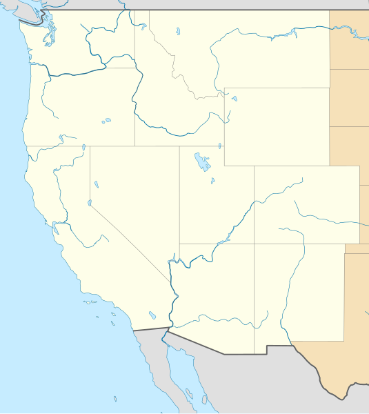
Deutsch: Positionskarte der westlichen Staaten der USA
Quadratische Plattkarte, N-S-Streckung 130.0 %. Geographische Begrenzung der Karte: Equirectangular projection, N/S stretching 130.0 %. Geographic limits of the map:
|
| 日期 | |
| 來源 |
自己的作品
|
| 作者 | Alexrk2 |
| 其他版本 |
|


|
|
授權條款
[編輯]
我,本作品的著作權持有者,決定用以下授權條款發佈本作品:
此檔案採用創用CC 姓名標示 3.0 未在地化版本授權條款。
- 您可以自由:
- 分享 – 複製、發佈和傳播本作品
- 重新修改 – 創作演繹作品
- 惟需遵照下列條件:
- 姓名標示 – 您必須指名出正確的製作者,和提供授權條款的連結,以及表示是否有對內容上做出變更。您可以用任何合理的方式來行動,但不得以任何方式表明授權條款是對您許可或是由您所使用。
檔案歷史
點選日期/時間以檢視該時間的檔案版本。
| 日期/時間 | 縮圖 | 尺寸 | 用戶 | 備註 | |
|---|---|---|---|---|---|
| 目前 | 2010年4月25日 (日) 11:59 | | 1,400 × 1,568(151 KB) | Alexrk2(對話 | 貢獻) | == {{int:filedesc}} == {{Information |Description= {{de|Positionskarte der westlichen Staaten der USA}} Quadratische Plattkarte, N-S-Streckung 130.0 %. Geographische Begrenzung der Karte: {{en|Location map of [[:en:Western United States|Wester |
無法覆蓋此檔案。
檔案用途
下列4個頁面有用到此檔案:
全域檔案使用狀況
以下其他 wiki 使用了這個檔案:
- ar.wikipedia.org 的使用狀況
- az.wikipedia.org 的使用狀況
- ba.wikipedia.org 的使用狀況
- bn.wikipedia.org 的使用狀況
- ceb.wikipedia.org 的使用狀況
- de.wikipedia.org 的使用狀況
- en.wikipedia.org 的使用狀況
- Hoover Dam
- Mountain West Conference
- From the Muddy Banks of the Wishkah
- Eastern Washington University
- West Coast Conference
- West Coast Hockey League
- Talk:From the Muddy Banks of the Wishkah
- Bert Mooney Airport
- Rogue Valley International–Medford Airport
- Arcata–Eureka Airport
- Redding Regional Airport
- Elko Regional Airport
- Cheyenne Regional Airport
- Laramie Regional Airport
- Gillette–Campbell County Airport
- Central Wyoming Regional Airport
- Southwest Wyoming Regional Airport
- Sheridan County Airport
- Casper–Natrona County International Airport
- Yellowstone Regional Airport
- Southwest Oregon Regional Airport
- Lewiston–Nez Perce County Airport
- Pocatello Regional Airport
- Magic Valley Regional Airport
- Ernest A. Love Field
- Yellowstone Airport
- Bellingham International Airport
- Pullman–Moscow Regional Airport
- Canyonlands Regional Airport
- Vernal Regional Airport
- Eastern Sierra Regional Airport
- Roberts Field
- User:SounderBruce
- Disappearance of Susan Powell
- Module:Location map/data/USA West/doc
- User:Librarianpam/testpage2
- Topock Fire
檢視此檔案的更多全域使用狀況。