File:USA Virginia location map.svg
Salta a la navegació
Salta a la cerca

Mida d'aquesta previsualització PNG del fitxer SVG: 800 × 514 píxels. Altres resolucions: 320 × 206 píxels | 640 × 411 píxels | 1.024 × 658 píxels | 1.280 × 823 píxels | 2.560 × 1.645 píxels | 1.500 × 964 píxels.
Fitxer original (fitxer SVG, nominalment 1.500 × 964 píxels, mida del fitxer: 941 Ko)
Llegendes
Llegendes
Afegeix una explicació d'una línia del que representa aquest fitxer
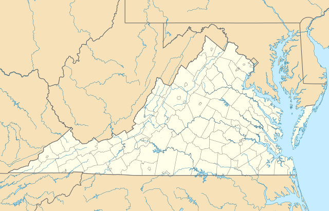
Location map of the state of Virginia.
Resum[modifica]
| Descripció |
Quadratische Plattkarte, N-S-Streckung 130.0 %. Geographische Begrenzung der Karte:
Equirectangular projection, N/S stretching 130.0 %. Geographic limits of the map:
|
||
| Data | |||
| Font | Treball propi | ||
| Autor | Alexrk2 | ||
| Altres versions |
Derivative works of this file: Wawa footprint 2012-07.png Derivative works of this file: |
||
| SVG genesis | Aquesta imatge vectorial ha estat creada amb Batik
|

Llicència[modifica]
Jo, el titular dels drets d'autor d'aquest treball, el public sota les següents llicències:

|
S'autoritza la còpia, la distribució i la modificació d'aquest document sota els termes de la llicència de documentació lliure GNU versió 1.2 o qualsevol altra versió posterior que publiqui la Free Software Foundation; sense seccions invariants, ni textos de portada, ni textos de contraportada. S'inclou una còpia d'aquesta llicència en la secció titulada GNU Free Documentation License. |
Aquest fitxer està subjecte a la llicència de Creative Commons Reconeixement 3.0 No adaptada.
- Sou lliure de:
- compartir – copiar, distribuir i comunicar públicament l'obra
- adaptar – fer-ne obres derivades
- Amb les condicions següents:
- reconeixement – Heu de donar la informació adequada sobre l'autor, proporcionar un enllaç a la llicència i indicar si s'han realitzat canvis. Podeu fer-ho amb qualsevol mitjà raonable, però de cap manera no suggereixi que l'autor us dóna suport o aprova l'ús que en feu.
Podeu seleccionar la llicència que vulgueu.
Historial del fitxer
Cliqueu una data/hora per veure el fitxer tal com era aleshores.
| Data/hora | Miniatura | Dimensions | Usuari/a | Comentari | |
|---|---|---|---|---|---|
| actual | 14:20, 1 gen 2017 | | 1.500 × 964 (941 Ko) | Maproom (discussió | contribucions) | Removed Bedford, as no longer a city. Edit requested at https://en.wikipedia.org/wiki/Wikipedia:Graphics_Lab/Map_workshop#Remove_a_no-longer-extant_city |
| 18:02, 6 jul 2009 |  | 1.500 × 964 (941 Ko) | Alexrk2 (discussió | contribucions) | resize | |
| 16:42, 26 juny 2009 |  | 1.201 × 772 (944 Ko) | Alexrk2 (discussió | contribucions) | == Beschreibung == {{Information |Description= {{de|Positionskarte von Virginia, USA}} Quadratische Plattkarte, N-S-Streckung 130.0 %. Geographische Begrenzung der Karte: * N: 40.2° N * S: 35.8° N * W: 83.9° W * O: 75.0° W |
No podeu sobreescriure aquest fitxer.
Ús del fitxer
Les 34 pàgines següents utilitzen aquest fitxer:
- File:BJ's Gas Station locations 2020 December.png
- File:BJ's store locations.png
- File:BJ's store locations 2020 December.png
- File:Checkers and Rally's footprint.png
- File:Citgo locations 2020 September.png
- File:Convenience stores of Mid-Atlantic.png
- File:Costco footprint map USA 2021-01.png
- File:Dollar Tree footprint map 2020-12.png
- File:Family Dollar footprint map 2020-12.png
- File:GetGo20-01.png
- File:Harris Teeter footprint 2020-12.png
- File:Harris Teeter footprint 2020-12 fuel.png
- File:M&T Bank footprint.png
- File:Publix footprint 2020 November.png
- File:QuikTrip Footprint 2020 October.png
- File:RaceTrac+RaceWay footprint 2020-01.png
- File:RaceTrac US footprint.png
- File:RaceWay US footprint.png
- File:Rooms To Go footprint map 2021-01.png
- File:Royal Farms stores footprint map.png
- File:Save-A-Lot footprint map.png
- File:Somerset Trust footprint 2020-12.png
- File:Speedway Footprint 2020 August.png
- File:Speedway Jun2018 to Aug2020 comparison.png
- File:Target stores footprint 2020-12.png
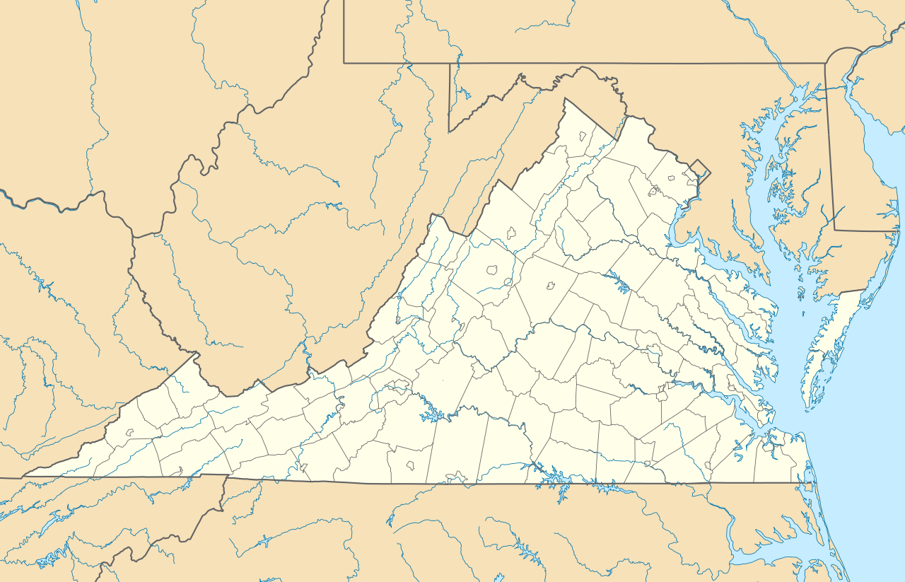
- File:USA Virginia relief location map.svg
- File:Valero brands branded gas stations 2020-12.png
- File:Walmart branded fuel stations map 2020-12.png
- File:Walmart locations with on-site fuel stations map 2020-20.png
- File:Wawa footprint 2012-07.png
- File:Wawa footprint 2019-10.png
- File:Wawa footprint 2019-12.png
- File:Wawa footprint 2019-12 (fuel locations).png
- File:Wawa footprint 2019-12 (non-fuel locations).png
.png)
.png)
Ús global del fitxer
Utilització d'aquest fitxer en altres wikis:
- Utilització a an.wikipedia.org
- Utilització a ar.wikipedia.org
- Utilització a ast.wikipedia.org
- Utilització a azb.wikipedia.org
- بیرینجی آوبرن دؤیوشو
- برمو بلاف، ویرجینیا
- کروزت، ویرجینیا
- ویندام، ویرجینیا
- لیمنتاون، ویرجینیا
- لیک کارولینا، ویرجینیا
- کارزویل، ویرجینیا
- ویلا هایتس، ویرجینیا
- کلوردیل، ویرجینیا
- ماسانتا اسپرینقز، ویرجینیا
- مکمولین، ویرجینیا
- تمپلتون، ویرجینیا
- بلند، ویرجینیا
- ناتالی، ویرجینیا
- الیستون-لافایت، ویرجینیا
- مریماک، ویرجینیا
- اسپری ویل، ویرجینیا
- کتاوبا، ویرجینیا
- پنتاپس، ویرجینیا
- بردشا، ویرجینیا
- اسکایلر، ویرجینیا
- الیستون، ویرجینیا
- چارلز سیتی، ویرجینیا
- هنری فورک، ویرجینیا
- تویین لیک، ویرجینیا
- یوقاویل، ویرجینیا
- دینویدی، ویرجینیا
- مدیلبروک، ویرجینیا
- اسکاتلند، ویرجینیا
- بریسی، ویرجینیا
- تاینادیل، ویرجینیا
- ماساناتن، ویرجینیا
- چرچویل، ویرجینیا
- فری یونیون، ویرجینیا
- کلوور، ویرجینیا
- دانته، ویرجینیا
- یونیون لول، ویرجینیا
- شاونی لند، ویرجینیا
- میدوبروک، ویرجینیا
- دیلویل، ویرجینیا
- ریون، ویرجینیا
- کاپرهیل، ویرجینیا
- سندی لول، ویرجینیا
- پنهوک، ویرجینیا
Vegeu més usos globals d'aquest fitxer.