File:USA blank.svg
跳转到导航
跳转到搜索

此SVG文件的PNG预览的大小:800 × 368像素。 其他分辨率:320 × 147像素 | 640 × 294像素 | 1,024 × 470像素 | 1,280 × 588像素 | 2,560 × 1,176像素 | 1,850 × 850像素。
原始文件 (SVG文件,尺寸为1,850 × 850像素,文件大小:105 KB)
说明
说明
添加一行文字以描述该文件所表现的内容
| 描述 |
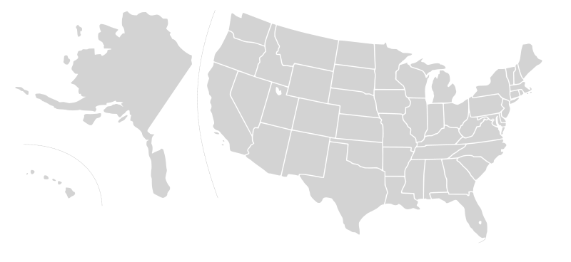
English: Blank SVG map of USA. Alaska and Hawaii have been moved closer to the mainland USA to reduce width of image.
Non-contiguous parts of a states/provinces are "grouped" together with the main area of the state/provinces, so any state/provinces can be coloured in completion with one click anywhere on the state/provinces's area. Also, all states/provinces have a "id" attached to them, making them easy to find. Select "find" and then enter in the state/provinces's ISO 3166-2 code in the "id" field to find it. The codes can be found here (Canada) and here (USA). |
| 日期 | 03-07-2007 edited 8-Aug-2007 |
| 来源 |
|
| 作者 |
Lokal_Profil's image edited to remove Canada and move Alaska and Hawaii closer by Avenue. Original version by |
| 授权 (二次使用本文件) |
本文件采用知识共享署名-相同方式共享 2.5 通用许可协议授权。
|
| 其他版本 |
Blank US Map.svg similar map with inset versions of Alaska and Hawaii (as opposed to actual size, which is what appears here), Labelled US map.svg same map with state labels Original blank map of USA and Canada, That image with labels, Original USA/Canada with Hawaii at the natural distance, Original USA/Canada map with labels, Canada blank map.svg blank map of Canada, Canada labelled map.svg labelled map of Canada |
| 註解 | 該圖片含有註解:在維基媒體共享資源上查看註解 |
文件历史
点击某个日期/时间查看对应时刻的文件。
| 日期/时间 | 缩略图 | 大小 | 用户 | 备注 | |
|---|---|---|---|---|---|
| 当前 | 2008年12月30日 (二) 07:40 | | 1,850 × 850(105 KB) | Avenue(留言 | 贡献) | without white space |
| 2008年12月30日 (二) 07:32 |  | 2,289 × 1,744(104 KB) | Avenue(留言 | 贡献) | New version that keeps Alaskan islands in the right place relative to the mainland | |
| 2007年8月9日 (四) 16:42 |  | 1,730 × 800(106 KB) | Rfc1394(留言 | 贡献) | {{Information |Description={{en|Blank SVG map of USA. Hawaii has been moved closer to the mainland USA to reduce width of image.}} Non-contiguous parts of a states/provinces are "grouped" together with the main area of the state/provinces, so any state/pr |
您不可以覆盖此文件。
文件用途
以下7个页面使用本文件:
.svg)
.svg)
全域文件用途
以下其他wiki使用此文件:
- en.wikipedia.org上的用途
- Talk:Bill Clinton
- Talk:Ronald Reagan
- Talk:Spiro Agnew
- Talk:Strom Thurmond
- Talk:John Hancock
- Talk:John Ashcroft
- Talk:Martin Van Buren
- Talk:Patrick Henry
- Talk:John Engler
- Talk:James Monroe
- Talk:Nelson Rockefeller
- Talk:Thomas E. Dewey
- Talk:Tom Vilsack
- Talk:Terry Branstad
- Talk:Thomas Jefferson
- Talk:Alf Landon
- Talk:Tom McCall
- Talk:Jesse Ventura
- Talk:Nellie Tayloe Ross
- Talk:Charles Pinckney (governor)
- Talk:John Rutledge
- Talk:Bruce Babbitt
- Talk:Salmon P. Chase
- Talk:DeWitt Clinton
- Talk:Gaylord Nelson
- Talk:Sam Houston
- Talk:List of governors of Mississippi
- Talk:P. B. S. Pinchback
- Talk:Benjamin Franklin
- Talk:2003 California gubernatorial recall election
- Talk:2004 Washington gubernatorial election
- Talk:Lamar Alexander
- Talk:George Clinton (vice president)
- Talk:Bill Janklow
- Talk:Howard Dean
- Talk:Roswell K. Colcord
- Talk:Tim Pawlenty
- Talk:Gary Johnson
- Talk:Earl Warren
- Talk:List of governors of California
- Talk:List of governors of Alabama
- Talk:Brigham Young
- Talk:James Bowdoin
- Talk:Joshua Chamberlain
- Talk:Joseph Ritner
- Talk:Judy Martz
- Talk:Jerry Brown
- Talk:Sid McMath
- Talk:Pat Brown
- Talk:Leland Stanford
查看此文件的更多全域用途。