File:USSR location map.svg
Jump to navigation
Jump to search

Size of this PNG preview of this SVG file: 512 × 171 pixels. Other resolutions: 320 × 107 pixels | 640 × 214 pixels | 1,024 × 342 pixels | 1,280 × 428 pixels | 2,560 × 855 pixels.
Original file (SVG file, nominally 512 × 171 pixels, file size: 1.76 MB)
Captions
Captions
Add a one-line explanation of what this file represents
Summary
[edit]
| Description |
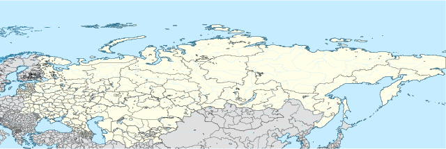
English: Draft USSR location map. Made from Natural Earth data in QGIS, and then fiddled with in Inkscape. Equirectangular projection. |
| Date | |
| Source | Own work |
| Author | Secretlondon |
| SVG development |
Licensing
[edit]
I, the copyright holder of this work, hereby publish it under the following license:
This file is licensed under the Creative Commons Attribution-Share Alike 3.0 Unported license.
- You are free:
- to share – to copy, distribute and transmit the work
- to remix – to adapt the work
- Under the following conditions:
- attribution – You must give appropriate credit, provide a link to the license, and indicate if changes were made. You may do so in any reasonable manner, but not in any way that suggests the licensor endorses you or your use.
- share alike – If you remix, transform, or build upon the material, you must distribute your contributions under the same or compatible license as the original.
File history
Click on a date/time to view the file as it appeared at that time.
| Date/Time | Thumbnail | Dimensions | User | Comment | |
|---|---|---|---|---|---|
| current | 02:19, 25 June 2012 | 512 × 171 (1.76 MB) | Secretlondon (talk | contribs) |
You cannot overwrite this file.
File usage on Commons
There are no pages that use this file.
File usage on other wikis
The following other wikis use this file:
- Usage on ar.wikipedia.org
- Usage on ceb.wikipedia.org
- Usage on fa.wikipedia.org
- Usage on sq.wikipedia.org
- Usage on tg.wikipedia.org
- Usage on war.wikipedia.org