File:US 224.svg
Ir a la navegación
Ir a la búsqueda

Tamaño de esta previsualización PNG del archivo SVG: 750 × 600 píxeles. Otras resoluciones: 300 × 240 píxeles | 600 × 480 píxeles | 960 × 768 píxeles | 1280 × 1024 píxeles | 2560 × 2048 píxeles.
Archivo original (archivo SVG, nominalmente 750 × 600 píxeles, tamaño de archivo: 7 kB)
Leyendas
Leyendas
Añade una explicación corta acerca de lo que representa este archivo
Resumen
[editar]
| Descripción |
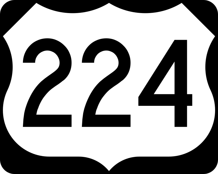
English: 750 mm × 600 mm (30 in × 24 in) U.S. Highway shield, made to the specifications of the 2004 edition of Standard Highway Signs. (Note that there is a missing "J" label on the left side of the diagram.) Uses the Roadgeek 2005 fonts. (United States law does not permit the copyrighting of typeface designs, and the fonts are meant to be copies of a U.S. Government-produced work anyway.) |
| Fecha | (UTC) |
| Fuente | 2004 MUTCD Standard Highway Signs |
| Autor | Fredddie, originally SPUI |
Licencia
[editar]
This file is in the public domain because it comes from the Manual on Uniform Traffic Control Devices, sign number M1-4, which states specifically on page I-1 that:
|
.svg) |
Historial del archivo
Haz clic sobre una fecha y hora para ver el archivo tal como apareció en ese momento.
| Fecha y hora | Miniatura | Dimensiones | Usuario | Comentario | |
|---|---|---|---|---|---|
| actual | 01:32 26 ago 2017 | | 750 × 600 (7 kB) | Fredddie (discusión | contribs.) | |
| 07:49 27 ene 2006 |  | 750 × 600 (4 kB) | SPUI~commonswiki (discusión | contribs.) | {{spuiother}} 750 mm by 600 mm (30 in by 24 in) U.S. Route shield, made to the specifications of the [http://mutcd.fhwa.dot.gov/SHSm/Guide.pdf 2004 edition of Standard Highway Signs]. (Note that there is a missing "J" label on the left side of the diagram |
No puedes sobrescribir este archivo.
Usos del archivo
Las siguientes páginas usan este archivo:
Uso global del archivo
Las wikis siguientes utilizan este archivo:
- Uso en de.wikipedia.org
- Uso en en.wikipedia.org
- Interstate 75
- Summit County, Ohio
- Seneca County, Ohio
- Portage County, Ohio
- Mahoning County, Ohio
- Huron County, Ohio
- Interstate 77
- Interstate 69
- Interstate 71
- Wells County, Indiana
- Huntington County, Indiana
- List of United States Numbered Highways
- Huntington, Indiana
- North Country Trail
- U.S. Route 27
- U.S. Route 30
- U.S. Route 24
- Greater Cleveland
- Northeast Ohio
- U.S. Route 62
- Ohio State Route 21
- Indiana State Road 9
- U.S. Route 23
- Huron River (Ohio)
- Interstate 376
- U.S. Route 33
- U.S. Route 42
- U.S. Route 224
- Interstate 76 (Ohio–New Jersey)
- Interstate 680 (Ohio)
- Ohio State Route 199
- Ohio State Route 12
- Ohio State Route 53
- Ohio State Route 65
- Ohio State Route 67
- Ohio State Route 11
- Ohio State Route 103
- Ohio State Route 587
- Ohio State Route 19
- Ohio State Route 7
- Ohio State Route 18
- Ohio State Route 235
- Indiana State Road 1
- Indiana State Road 3
- Ohio State Route 4
- Ohio State Route 44
- Ohio State Route 66
Ver más uso global de este archivo.