File:US 322.svg
跳转到导航
跳转到搜索

此SVG文件的PNG预览的大小:750 × 600像素。 其他分辨率:300 × 240像素 | 600 × 480像素 | 960 × 768像素 | 1,280 × 1,024像素 | 2,560 × 2,048像素。
原始文件 (SVG文件,尺寸为750 × 600像素,文件大小:8 KB)
说明
说明
添加一行文字以描述该文件所表现的内容
摘要[编辑]
| 描述 |
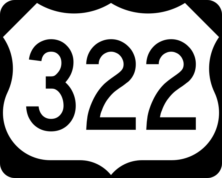
English: 750 mm × 600 mm (30 in × 24 in) U.S. Highway shield, made to the specifications of the 2004 edition of Standard Highway Signs. (Note that there is a missing "J" label on the left side of the diagram.) Uses the Roadgeek 2005 fonts. (United States law does not permit the copyrighting of typeface designs, and the fonts are meant to be copies of a U.S. Government-produced work anyway.) |
| 日期 | (UTC) |
| 来源 | 2004 MUTCD Standard Highway Signs |
| 作者 | Fredddie, originally SPUI |
许可协议[编辑]
This file is in the public domain because it comes from the Manual on Uniform Traffic Control Devices, sign number M1-4, which states specifically on page I-1 that:
|
.svg) |
文件历史
点击某个日期/时间查看对应时刻的文件。
| 日期/时间 | 缩略图 | 大小 | 用户 | 备注 | |
|---|---|---|---|---|---|
| 当前 | 2017年8月26日 (六) 01:37 | | 750 × 600(8 KB) | Fredddie(留言 | 贡献) | |
| 2006年1月27日 (五) 07:51 |  | 750 × 600(5 KB) | SPUI~commonswiki(留言 | 贡献) | {{spuiother}} 750 mm by 600 mm (30 in by 24 in) U.S. Route shield, made to the specifications of the [http://mutcd.fhwa.dot.gov/SHSm/Guide.pdf 2004 edition of Standard Highway Signs]. (Note that there is a missing "J" label on the left side of the diagram |
您不可以覆盖此文件。
文件用途
以下5个页面使用本文件:
全域文件用途
以下其他wiki使用此文件:
- bn.wikipedia.org上的用途
- de.wikipedia.org上的用途
- en.wikipedia.org上的用途
- Harrisburg, Pennsylvania
- U.S. Route 1
- Interstate 95
- Interstate 99
- New Jersey Turnpike
- Lancaster County, Pennsylvania
- U.S. Route 9
- Interstate 80
- Bitzer's Mill Covered Bridge
- Appalachian Trail
- Interstate 83
- Interstate 81
- Interstate 90
- Interstate 79
- Venango County, Pennsylvania
- Perry County, Pennsylvania
- Mifflin County, Pennsylvania
- Mercer County, Pennsylvania
- Lebanon County, Pennsylvania
- Jefferson County, Pennsylvania
- Delaware County, Pennsylvania
- Dauphin County, Pennsylvania
- Crawford County, Pennsylvania
- Clearfield County, Pennsylvania
- Clarion County, Pennsylvania
- Chester County, Pennsylvania
- Centre County, Pennsylvania
- Geauga County, Ohio
- Cuyahoga County, Ohio
- Ashtabula County, Ohio
- List of United States Numbered Highways
- New Jersey Route 42
- New Jersey Route 45
- New Jersey Route 47
- New Jersey Route 50
- New Jersey Route 54
- New Jersey Route 55
- Downingtown, Pennsylvania
- West Chester, Pennsylvania
- Meadville, Pennsylvania
- Chester, Pennsylvania
- New Jersey Route 73
- North Country Trail
查看此文件的更多全域用途。